112 Williams Rd Auburn, GA 30011
Estimated Value: $336,000 - $393,000
3
Beds
2
Baths
1,788
Sq Ft
$207/Sq Ft
Est. Value
About This Home
This home is located at 112 Williams Rd, Auburn, GA 30011 and is currently estimated at $369,415, approximately $206 per square foot. 112 Williams Rd is a home located in Barrow County with nearby schools including Kennedy Elementary School, Westside Middle School, and Apalachee High School.
Ownership History
Date
Name
Owned For
Owner Type
Purchase Details
Closed on
Sep 27, 2013
Sold by
Pittman Rex
Bought by
Pugh Deborah Lavonne Pittman
Current Estimated Value
Purchase Details
Closed on
May 28, 1999
Sold by
Newton Russell A and Newton Belinda A
Bought by
Pittman Rex
Home Financials for this Owner
Home Financials are based on the most recent Mortgage that was taken out on this home.
Original Mortgage
$79,000
Interest Rate
6.94%
Mortgage Type
New Conventional
Purchase Details
Closed on
Aug 7, 1988
Bought by
Newton Russell A
Create a Home Valuation Report for This Property
The Home Valuation Report is an in-depth analysis detailing your home's value as well as a comparison with similar homes in the area
Home Values in the Area
Average Home Value in this Area
Purchase History
| Date | Buyer | Sale Price | Title Company |
|---|---|---|---|
| Pugh Deborah Lavonne Pittman | -- | -- | |
| Pittman Rex | $128,000 | -- | |
| Newton Russell A | $70,200 | -- |
Source: Public Records
Mortgage History
| Date | Status | Borrower | Loan Amount |
|---|---|---|---|
| Previous Owner | Pittman Rex | $79,000 |
Source: Public Records
Tax History Compared to Growth
Tax History
| Year | Tax Paid | Tax Assessment Tax Assessment Total Assessment is a certain percentage of the fair market value that is determined by local assessors to be the total taxable value of land and additions on the property. | Land | Improvement |
|---|---|---|---|---|
| 2024 | $2,573 | $107,426 | $28,585 | $78,841 |
| 2023 | $2,148 | $107,426 | $28,585 | $78,841 |
| 2022 | $2,226 | $81,098 | $28,585 | $52,513 |
| 2021 | $2,034 | $70,512 | $22,868 | $47,644 |
| 2020 | $1,795 | $62,416 | $19,020 | $43,396 |
| 2019 | $1,826 | $62,416 | $19,020 | $43,396 |
| 2018 | $1,801 | $62,416 | $19,020 | $43,396 |
| 2017 | $1,672 | $57,430 | $19,020 | $38,410 |
| 2016 | $1,562 | $55,556 | $19,020 | $36,536 |
| 2015 | $1,570 | $55,556 | $19,020 | $36,536 |
| 2014 | $1,291 | $45,856 | $9,320 | $36,536 |
| 2013 | -- | $42,856 | $9,320 | $33,536 |
Source: Public Records
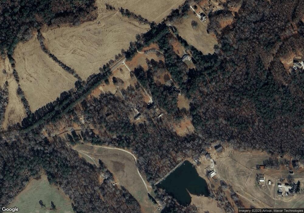
Map
Nearby Homes
- 109 Plantation Rd
- 1237 Carl Bethlehem Rd
- 407 Gladiola Dr
- 319 Chimney Trace Dr
- 152 Scott Dr
- 1120 Carl Bethlehem Rd
- 353 Glenmoor Place
- 552 Casey's Crossing
- 31 Creekwood Rd
- 4079 Brookmont Way
- 534 Oxford Ridge
- 1214 Cabots Ln Unit 1
- 624 Red Fox Ln
- 1201 Saint Andrews Dr
- 746 Evergreen Dr
- 711 Brighton Ln
- 61 Deer Wood Dr
- 734 Evergreen Dr
- 482 Cedar Trail
- 124 Williams Rd
- 102 Williams Rd
- 134 Williams Rd
- 80 Williams Rd
- 176 Williams Rd
- 151 Patrick Mill Rd SW
- 159 Patrick Mill Rd SW
- 70 Williams Rd
- 62 Williams Rd
- 145 Patrick Mill Rd SW
- 52 Williams Rd
- 44 Williams Rd Unit TRACT 3
- 44 Williams Rd
- 139 Patrick Mill Rd SW
- 26 Deer Run Trail
- 24 Deer Run Trail
- 22 Deer Run Trail
- 40 Williams Rd
- 27 Deer Run Trail
- 20 Deer Run Trail