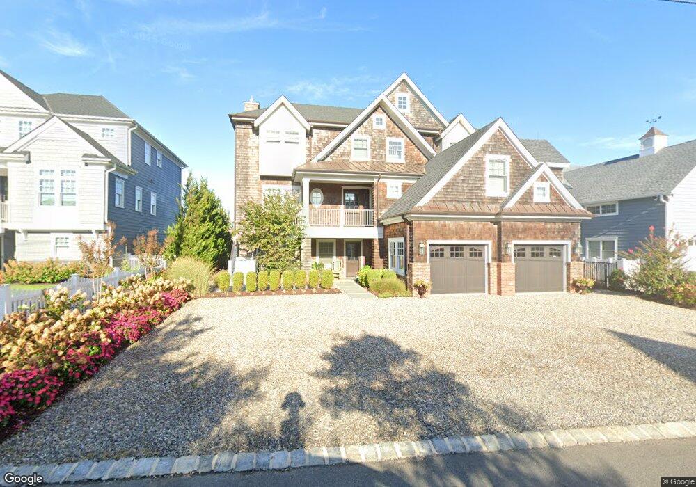
1120 Barnegat Ln Mantoloking, NJ 08738
Estimated Value: $4,035,000 - $6,245,000
6
Beds
6
Baths
4,244
Sq Ft
$1,211/Sq Ft
Est. Value
About This Home
This home is located at 1120 Barnegat Ln, Mantoloking, NJ 08738 and is currently estimated at $5,140,189, approximately $1,211 per square foot. 1120 Barnegat Ln is a home located in Ocean County with nearby schools including G Harold Antrim Elementary School, Point Pleasant Beach High School, and St. Peter School.
Ownership History
Date
Name
Owned For
Owner Type
Purchase Details
Closed on
Feb 28, 1996
Sold by
Ottley Judith
Bought by
Gandolfini Leta
Current Estimated Value
Home Financials for this Owner
Home Financials are based on the most recent Mortgage that was taken out on this home.
Original Mortgage
$400,000
Outstanding Balance
$15,677
Interest Rate
7.02%
Estimated Equity
$5,124,512
Create a Home Valuation Report for This Property
The Home Valuation Report is an in-depth analysis detailing your home's value as well as a comparison with similar homes in the area
Home Values in the Area
Average Home Value in this Area
Purchase History
| Date | Buyer | Sale Price | Title Company |
|---|---|---|---|
| Gandolfini Leta | $650,000 | -- |
Source: Public Records
Mortgage History
| Date | Status | Borrower | Loan Amount |
|---|---|---|---|
| Open | Gandolfini Leta | $400,000 |
Source: Public Records
Tax History Compared to Growth
Tax History
| Year | Tax Paid | Tax Assessment Tax Assessment Total Assessment is a certain percentage of the fair market value that is determined by local assessors to be the total taxable value of land and additions on the property. | Land | Improvement |
|---|---|---|---|---|
| 2025 | $25,733 | $2,999,200 | $1,556,100 | $1,443,100 |
| 2024 | $24,434 | $2,999,200 | $1,556,100 | $1,443,100 |
| 2023 | $20,969 | $2,994,400 | $1,556,100 | $1,438,300 |
| 2022 | $20,969 | $2,995,500 | $1,556,100 | $1,439,400 |
| 2021 | $21,088 | $2,995,500 | $1,556,100 | $1,439,400 |
| 2020 | $21,328 | $2,995,500 | $1,556,100 | $1,439,400 |
| 2019 | $21,028 | $2,995,500 | $1,556,100 | $1,439,400 |
| 2018 | $20,729 | $2,995,500 | $1,556,100 | $1,439,400 |
| 2017 | $20,879 | $2,995,500 | $1,556,100 | $1,439,400 |
| 2016 | $10,799 | $1,556,100 | $1,556,100 | $0 |
| 2015 | $10,628 | $1,556,100 | $1,556,100 | $0 |
| 2014 | $13,956 | $2,225,900 | $1,556,100 | $669,800 |
Source: Public Records
Map
Nearby Homes
- 1201 Ocean Ave
- 1207 Ocean Ave
- 1097 Barnegat Ln
- 1318 Ocean Ave
- 1063 Ocean Ave
- 1027 Ocean Ave
- 1519 Runyon Ln
- 982 Barnegat Ln
- 978 East Ave
- 954 Barnegat Ln
- 940 Barnegat Ln
- 122 Squan Beach Dr
- 920 East Ave
- 233 Curtis Point Dr
- 150 Sunset Ln
- 275 Curtis Point Dr
- 776 South Dr
- 767 East Ave
- 53 Driftwood Dr
- 304 Schooner Ln
- 1118 Barnegat Ln
- 1122 Barnegat Ln
- 1117 Barnegat Ln
- 1124 Barnegat Ln
- 1116 Barnegat Ln
- 1123 Barnegat Ln
- 1126 Barnegat Ln
- 1114 Barnegat Ln
- 1120 Ocean Ave
- 1125 Barnegat Ln
- 1115 Barnegat Ln
- 1130 Barnegat Ln
- 1112 Barnegat Ln
- 1111 Barnegat Ln
- 1198 Bay Ave
- 1198 Bay Ave
- 1126 Ocean Ave
- 1112 Ocean Ave
- 1125 Ocean Ave
- 1110 Barnegat Ln