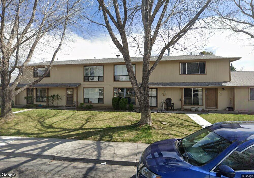
1120 Brooktree Dr Unit 5 Sparks, NV 89434
O'Callaghan NeighborhoodEstimated Value: $249,023 - $264,000
2
Beds
2
Baths
988
Sq Ft
$259/Sq Ft
Est. Value
About This Home
This home is located at 1120 Brooktree Dr Unit 5, Sparks, NV 89434 and is currently estimated at $255,506, approximately $258 per square foot. 1120 Brooktree Dr Unit 5 is a home located in Washoe County with nearby schools including Katherine Dunn Elementary School, George L Dilworth Middle School, and Edward C Reed High School.
Ownership History
Date
Name
Owned For
Owner Type
Purchase Details
Closed on
Jun 27, 2008
Sold by
Lashuk Stephanie J
Bought by
Lashuk Tammy Clarissa
Current Estimated Value
Purchase Details
Closed on
Nov 8, 2004
Sold by
Lashuk Stephanie J and Smith Scott A
Bought by
Lashuk Stephanie J
Home Financials for this Owner
Home Financials are based on the most recent Mortgage that was taken out on this home.
Original Mortgage
$14,500
Outstanding Balance
$7,047
Interest Rate
5.7%
Mortgage Type
New Conventional
Estimated Equity
$248,459
Purchase Details
Closed on
Jan 27, 1994
Sold by
Cisneros Henry G
Bought by
Lashuk Stephanie J
Home Financials for this Owner
Home Financials are based on the most recent Mortgage that was taken out on this home.
Original Mortgage
$66,332
Interest Rate
7.21%
Mortgage Type
FHA
Create a Home Valuation Report for This Property
The Home Valuation Report is an in-depth analysis detailing your home's value as well as a comparison with similar homes in the area
Home Values in the Area
Average Home Value in this Area
Purchase History
| Date | Buyer | Sale Price | Title Company |
|---|---|---|---|
| Lashuk Tammy Clarissa | -- | None Available | |
| Lashuk Stephanie J | -- | Western Title Incorporated | |
| Lashuk Stephanie J | -- | Stewart Title |
Source: Public Records
Mortgage History
| Date | Status | Borrower | Loan Amount |
|---|---|---|---|
| Open | Lashuk Stephanie J | $14,500 | |
| Closed | Lashuk Stephanie J | $66,332 |
Source: Public Records
Tax History
| Year | Tax Paid | Tax Assessment Tax Assessment Total Assessment is a certain percentage of the fair market value that is determined by local assessors to be the total taxable value of land and additions on the property. | Land | Improvement |
|---|---|---|---|---|
| 2026 | $438 | $33,921 | $20,930 | $12,991 |
| 2025 | $573 | $35,634 | $22,855 | $12,779 |
| 2024 | $573 | $33,271 | $20,370 | $12,901 |
| 2023 | $557 | $30,898 | $19,775 | $11,123 |
| 2022 | $542 | $27,270 | $17,395 | $9,875 |
| 2021 | $527 | $21,709 | $11,515 | $10,194 |
| 2020 | $508 | $22,241 | $11,620 | $10,621 |
| 2019 | $492 | $21,638 | $10,955 | $10,683 |
| 2018 | $478 | $17,573 | $6,825 | $10,748 |
| 2017 | $465 | $18,145 | $7,175 | $10,970 |
| 2016 | $454 | $16,506 | $5,005 | $11,501 |
| 2015 | $116 | $16,185 | $4,200 | $11,985 |
| 2014 | $422 | $14,792 | $3,745 | $11,047 |
| 2013 | -- | $11,237 | $2,030 | $9,207 |
Source: Public Records
Map
Nearby Homes
- 960 Cherry Tree Dr Unit 1
- 860 Cherry Tree Dr Unit 2
- 828 Woodglen Dr Unit 2
- 909 Mesa Ridge Dr Unit 1
- 801 Woodglen Dr Unit 2
- 480 E Mclean Way
- 1218 Junction Dr
- 370 O'Brien Way
- 661 Oakwood Dr Unit 3
- 675 Parlanti Ln Unit 38
- 675 Parlanti Ln Unit 11
- 675 Parlanti Ln Unit 127
- 675 Parlanti Ln Unit 9
- 675 Parlanti Ln Unit 63
- 2007 Mesa Vista Dr
- 1544 Woodhaven Ln
- 601 Oakwood Dr Unit 4
- 1308 Coachman Dr
- 2183 La Hacienda Dr
- 2207 Howard Dr
- 1120 Brooktree Dr Unit 2
- 1120 Brooktree Dr
- 1120 Brooktree Dr
- 1120 Brooktree Dr
- 1120 Brooktree Dr
- 1120 Brooktree Dr Unit 2A
- 1120 Brooktree Dr
- 1120 Brooktree Dr Unit 1
- 1120 Brooktree Dr Unit 4
- 1120 Brooktree Dr Unit 6
- 1120 Brooktree Dr Unit 3
- 1029 Brooktree Dr Unit 4
- 1029 Brooktree Dr
- 1029 Brooktree Dr Unit 3
- 1029 Brooktree Dr
- 1029 Brooktree Dr
- 1029 Brooktree Dr Unit 2
- 1019 Brooktree Dr Unit 2
- 1019 Brooktree Dr
- 1019 Brooktree Dr
Your Personal Tour Guide
Ask me questions while you tour the home.