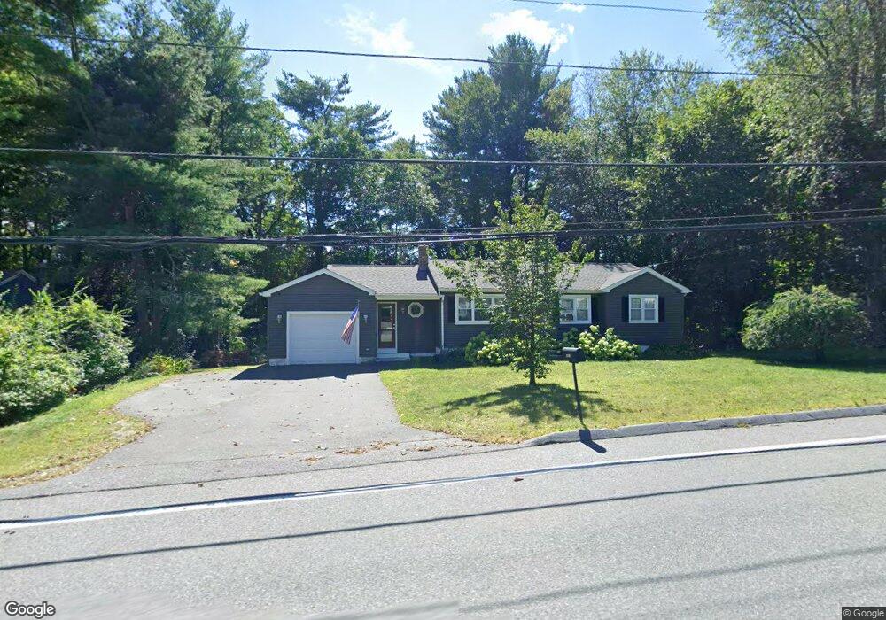
1120 Burts Pit Rd Florence, MA 01062
Florence NeighborhoodEstimated Value: $371,000 - $401,000
3
Beds
1
Bath
938
Sq Ft
$411/Sq Ft
Est. Value
About This Home
This home is located at 1120 Burts Pit Rd, Florence, MA 01062 and is currently estimated at $385,517, approximately $410 per square foot. 1120 Burts Pit Rd is a home located in Hampshire County with nearby schools including Northampton High School and Hilltown Cooperative Charter Public School.
Ownership History
Date
Name
Owned For
Owner Type
Purchase Details
Closed on
Mar 31, 1995
Sold by
Stackow Diane L and Stockow Robert M
Bought by
Elliott Bobbi Jo and Elliott Christoher L
Current Estimated Value
Home Financials for this Owner
Home Financials are based on the most recent Mortgage that was taken out on this home.
Original Mortgage
$104,500
Interest Rate
8.8%
Mortgage Type
Purchase Money Mortgage
Create a Home Valuation Report for This Property
The Home Valuation Report is an in-depth analysis detailing your home's value as well as a comparison with similar homes in the area
Home Values in the Area
Average Home Value in this Area
Purchase History
| Date | Buyer | Sale Price | Title Company |
|---|---|---|---|
| Elliott Bobbi Jo | $110,000 | -- |
Source: Public Records
Mortgage History
| Date | Status | Borrower | Loan Amount |
|---|---|---|---|
| Open | Elliott Bobbi Jo | $133,600 | |
| Closed | Elliott Bobbi Jo | $100,000 | |
| Closed | Elliott Bobbi Jo | $104,500 |
Source: Public Records
Tax History
| Year | Tax Paid | Tax Assessment Tax Assessment Total Assessment is a certain percentage of the fair market value that is determined by local assessors to be the total taxable value of land and additions on the property. | Land | Improvement |
|---|---|---|---|---|
| 2025 | $5,431 | $389,900 | $121,700 | $268,200 |
| 2024 | $5,421 | $356,900 | $121,700 | $235,200 |
| 2023 | $5,311 | $335,300 | $110,600 | $224,700 |
| 2022 | $4,659 | $260,400 | $110,600 | $149,800 |
| 2021 | $4,023 | $231,600 | $105,600 | $126,000 |
| 2020 | $3,891 | $231,600 | $105,600 | $126,000 |
| 2019 | $3,665 | $211,000 | $90,600 | $120,400 |
| 2018 | $3,641 | $213,700 | $90,600 | $123,100 |
| 2017 | $3,567 | $213,700 | $90,600 | $123,100 |
| 2016 | $3,453 | $213,700 | $90,600 | $123,100 |
| 2015 | $3,400 | $215,200 | $90,600 | $124,600 |
| 2014 | $3,312 | $215,200 | $90,600 | $124,600 |
Source: Public Records
Map
Nearby Homes
- 723 Lot B Ryan Rd
- 815 Burts Pit Rd
- 296 Ryan Rd Unit A
- 296 Ryan Rd
- 296 Ryan Rd Unit B
- 832 Westhampton Rd
- 0 W Farms Rd
- 697 Florence Rd
- 723 Florence Rd
- 635 Florence Rd
- 42 Clark St
- 404 Sylvester Rd
- 751 Park Hill Rd
- 20-11 Sylvester Rd
- 98 Park Hill Rd
- 296 Old Wilson Rd
- 37 Landy Ave
- 67 Park St Unit A
- 67 Park St Unit B
- 67 Park St Unit D
- 1112 Burts Pit Rd
- 1123 Burts Pit Rd
- 1136 Burts Pit Rd
- 1113 Burts Pit Rd
- 1135 Burts Pit Rd
- 1104 Burts Pit Rd
- 11 Forest Glen Dr
- 1105 Burts Pit Rd
- 1144 Burts Pit Rd
- 1143 Burts Pit Rd
- 10 Forest Glen Dr
- 17 Forest Glen Dr
- 1094 Burts Pit Rd
- 12 Deerfield Dr
- 16 Forest Glen Dr
- 5 Cahillane Terrace
- 1152 Burts Pit Rd
- 23 Forest Glen Dr
- 20 Deerfield Dr
- 22 Forest Glen Dr