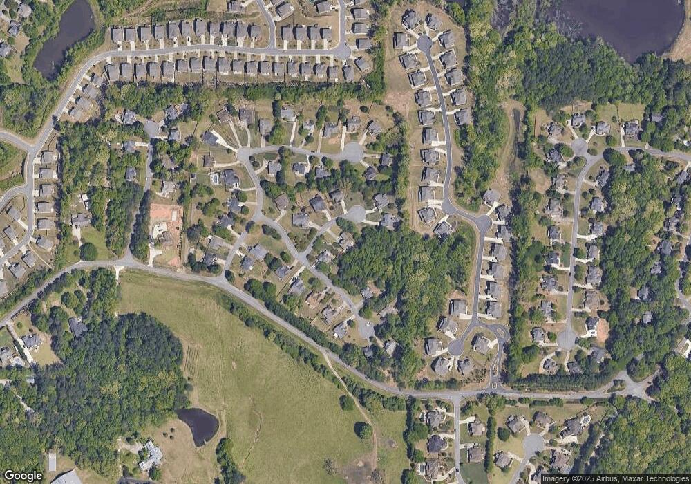
1120 Deborah Ln Suwanee, GA 30024
Estimated Value: $591,000 - $640,000
3
Beds
3
Baths
2,035
Sq Ft
$300/Sq Ft
Est. Value
About This Home
This home is located at 1120 Deborah Ln, Suwanee, GA 30024 and is currently estimated at $611,120, approximately $300 per square foot. 1120 Deborah Ln is a home located in Forsyth County with nearby schools including Settles Bridge Elementary School, Riverwatch Middle School, and Lambert High School.
Ownership History
Date
Name
Owned For
Owner Type
Purchase Details
Closed on
May 28, 2015
Sold by
Miller Edward J
Bought by
Livengood Linda W
Current Estimated Value
Home Financials for this Owner
Home Financials are based on the most recent Mortgage that was taken out on this home.
Original Mortgage
$115,000
Outstanding Balance
$85,681
Interest Rate
3.04%
Mortgage Type
New Conventional
Estimated Equity
$525,439
Purchase Details
Closed on
Oct 9, 2002
Sold by
Miller Edward J
Bought by
Miller Edward J and Miller Nancy H
Home Financials for this Owner
Home Financials are based on the most recent Mortgage that was taken out on this home.
Original Mortgage
$199,400
Interest Rate
6.21%
Mortgage Type
New Conventional
Purchase Details
Closed on
Oct 8, 1999
Sold by
Rb Builders Gr Inc
Bought by
Sorckoff Peter M
Home Financials for this Owner
Home Financials are based on the most recent Mortgage that was taken out on this home.
Original Mortgage
$175,500
Interest Rate
7.85%
Mortgage Type
New Conventional
Create a Home Valuation Report for This Property
The Home Valuation Report is an in-depth analysis detailing your home's value as well as a comparison with similar homes in the area
Home Values in the Area
Average Home Value in this Area
Purchase History
| Date | Buyer | Sale Price | Title Company |
|---|---|---|---|
| Livengood Linda W | $250,000 | -- | |
| Miller Edward J | -- | -- | |
| Miller Edward J | $209,900 | -- | |
| Sorckoff Peter M | $195,000 | -- |
Source: Public Records
Mortgage History
| Date | Status | Borrower | Loan Amount |
|---|---|---|---|
| Open | Livengood Linda W | $115,000 | |
| Previous Owner | Miller Edward J | $199,400 | |
| Previous Owner | Sorckoff Peter M | $175,500 |
Source: Public Records
Tax History
| Year | Tax Paid | Tax Assessment Tax Assessment Total Assessment is a certain percentage of the fair market value that is determined by local assessors to be the total taxable value of land and additions on the property. | Land | Improvement |
|---|---|---|---|---|
| 2025 | $4,712 | $273,672 | $78,000 | $195,672 |
| 2024 | $4,712 | $239,348 | $68,000 | $171,348 |
| 2023 | $4,475 | $244,500 | $60,000 | $184,500 |
| 2022 | $4,080 | $143,868 | $24,000 | $119,868 |
| 2021 | $3,527 | $143,868 | $24,000 | $119,868 |
| 2020 | $3,417 | $138,528 | $24,000 | $114,528 |
| 2019 | $3,285 | $133,028 | $24,000 | $109,028 |
| 2018 | $3,026 | $119,852 | $24,000 | $95,852 |
| 2017 | $2,954 | $115,880 | $24,000 | $91,880 |
| 2016 | $2,618 | $99,984 | $20,104 | $79,880 |
| 2015 | $592 | $89,520 | $18,000 | $71,520 |
| 2014 | $549 | $83,424 | $0 | $0 |
Source: Public Records
Map
Nearby Homes
- 1140 Deborah Ln
- 1075 Julius Dr
- 1445 Thunder Gulch Pass
- 1870 Apollo Dr
- 523 Settles Rd
- 655 Riverhaven Dr Unit V
- 1112 Bartlett Trace
- 1104 Bartlett Trace
- 1120 Bartlett Trace
- 1101 Bartlett Trace
- 1108 Bartlett Trace
- 2025 Southers Cir
- 1565 Bramble Bush Way
- 1310 Settles Rd
- 1680 Cone Flower Way
- 6625 Chambrel Way
- 1750 Cone Flower Way
- 6640 Bridlewood Way
- 940 Ambleside Dr
- 6540 Bridlewood Way
- 1140 Deborah Ln Unit 27
- 1115 Anthony Ct
- 115 Deborah Ln
- 1150 Deborah Ln
- 1125 Anthony Ct
- 1135 Deborah Ln
- 1115 Deborah Ln
- 1125 Deborah Ln
- 1145 Deborah Ln
- 1110 Julius Dr
- 1120 Anthony Ct
- 1110 Anthony Ct
- 1120 Julius Dr
- 1130 Anthony Ct
- 1005 Anthony Ct
- 1005 Anthony Ct Unit 21
- 1020 Anthony Ct
- 990 Julius Dr
- 1145 Anthony Ct
- 1080 Julius Dr
Your Personal Tour Guide
Ask me questions while you tour the home.
