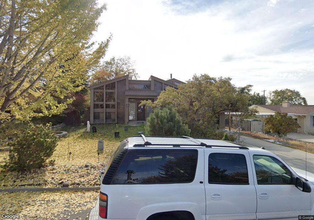
1120 E 2680 N Provo, UT 84604
Rock Canyon NeighborhoodEstimated Value: $733,000 - $1,025,000
6
Beds
3
Baths
4,163
Sq Ft
$201/Sq Ft
Est. Value
About This Home
This home is located at 1120 E 2680 N, Provo, UT 84604 and is currently estimated at $835,812, approximately $200 per square foot. 1120 E 2680 N is a home located in Utah County with nearby schools including Rock Canyon Elementary School, Centennial Middle School, and Timpview High School.
Ownership History
Date
Name
Owned For
Owner Type
Purchase Details
Closed on
Jun 22, 2016
Sold by
Hartshorn Joella and James Hartshorn K
Bought by
Rhodes Brenin A and Rhodes Hanna M
Current Estimated Value
Home Financials for this Owner
Home Financials are based on the most recent Mortgage that was taken out on this home.
Original Mortgage
$391,737
Outstanding Balance
$312,488
Interest Rate
3.64%
Mortgage Type
VA
Estimated Equity
$523,324
Purchase Details
Closed on
Jun 12, 2013
Sold by
Lux Austin
Bought by
Hartshorn Joella and James Hartshorn K
Home Financials for this Owner
Home Financials are based on the most recent Mortgage that was taken out on this home.
Original Mortgage
$315,725
Interest Rate
3.32%
Mortgage Type
New Conventional
Create a Home Valuation Report for This Property
The Home Valuation Report is an in-depth analysis detailing your home's value as well as a comparison with similar homes in the area
Home Values in the Area
Average Home Value in this Area
Purchase History
| Date | Buyer | Sale Price | Title Company |
|---|---|---|---|
| Rhodes Brenin A | -- | Northwest Title Insurance Ag | |
| Hartshorn Joella | -- | First American Title Co Llc |
Source: Public Records
Mortgage History
| Date | Status | Borrower | Loan Amount |
|---|---|---|---|
| Open | Rhodes Brenin A | $391,737 | |
| Previous Owner | Hartshorn Joella | $315,725 |
Source: Public Records
Tax History
| Year | Tax Paid | Tax Assessment Tax Assessment Total Assessment is a certain percentage of the fair market value that is determined by local assessors to be the total taxable value of land and additions on the property. | Land | Improvement |
|---|---|---|---|---|
| 2025 | $4,101 | $390,445 | -- | -- |
| 2024 | $4,101 | $403,645 | $0 | $0 |
| 2023 | $3,851 | $373,725 | $0 | $0 |
| 2022 | $3,811 | $372,900 | $0 | $0 |
| 2021 | $3,028 | $516,800 | $186,500 | $330,300 |
| 2020 | $3,038 | $486,000 | $162,200 | $323,800 |
| 2019 | $2,921 | $486,000 | $162,200 | $323,800 |
| 2018 | $2,597 | $438,300 | $147,400 | $290,900 |
| 2017 | $2,392 | $221,760 | $0 | $0 |
| 2016 | $2,293 | $198,165 | $0 | $0 |
| 2015 | $2,086 | $182,215 | $0 | $0 |
| 2014 | $1,891 | $172,205 | $0 | $0 |
Source: Public Records
Map
Nearby Homes
- 1100 E 2680 N
- 1140 E 2680 N
- 1119 E 2620 N Unit E
- 1080 E 2680 N
- 1160 E 2680 N
- 1149 E 2620 N
- 1105 E 2620 N
- 2719 Arapahoe Ln
- 1133 E 2620 N Unit E
- 2720 Arapahoe Ln
- 1097 E 2680 N
- 1167 E 2620 N
- 2660 N 1060 E
- 1180 E 2680 N
- 1065 E 2620 N
- 1169 E 2680 N
- 1175 E 2620 N
- 2731 Arapahoe Ln
- 2696 Oneida Ln
- 2730 Arapahoe Ln
Your Personal Tour Guide
Ask me questions while you tour the home.