1120 Franklin Ct Placerville, CA 95667
Estimated Value: $312,951 - $371,000
2
Beds
1
Bath
791
Sq Ft
$423/Sq Ft
Est. Value
About This Home
This home is located at 1120 Franklin Ct, Placerville, CA 95667 and is currently estimated at $334,988, approximately $423 per square foot. 1120 Franklin Ct is a home located in El Dorado County with nearby schools including El Dorado High School, Country Day Montessori, and El Dorado Adventist School.
Ownership History
Date
Name
Owned For
Owner Type
Purchase Details
Closed on
Mar 17, 2011
Sold by
Us Bank National Association
Bought by
Standeven Andrew M and Standeven Elizabeth A
Current Estimated Value
Purchase Details
Closed on
Feb 11, 2011
Sold by
Ackley Robert Lloyd and Ackley Betty Ann
Bought by
U S Bank National Association
Purchase Details
Closed on
Oct 14, 2005
Sold by
Ackley Robert Lloyd and Ackley Betty Ann
Bought by
Ackley Robert Lloyd and Ackley Betty Ann
Home Financials for this Owner
Home Financials are based on the most recent Mortgage that was taken out on this home.
Original Mortgage
$201,500
Interest Rate
6.57%
Mortgage Type
New Conventional
Purchase Details
Closed on
Oct 2, 2003
Sold by
Greening Irene Mae and Greening Irene Mae
Bought by
Ackley Robert Lloyd and Ackley Betty Ann
Home Financials for this Owner
Home Financials are based on the most recent Mortgage that was taken out on this home.
Original Mortgage
$150,000
Interest Rate
6.4%
Mortgage Type
Seller Take Back
Purchase Details
Closed on
Apr 8, 1999
Sold by
Greening Irene M
Bought by
Greening Irene Mae and The Irene Mae Greening Revocab
Create a Home Valuation Report for This Property
The Home Valuation Report is an in-depth analysis detailing your home's value as well as a comparison with similar homes in the area
Home Values in the Area
Average Home Value in this Area
Purchase History
| Date | Buyer | Sale Price | Title Company |
|---|---|---|---|
| Standeven Andrew M | $84,000 | Fidelity National Title Co | |
| U S Bank National Association | $207,902 | Lawyers Title | |
| Ackley Robert Lloyd | -- | Alliance Title Company | |
| Ackley Robert Lloyd | $170,000 | First American Title Co | |
| Greening Irene Mae | -- | -- |
Source: Public Records
Mortgage History
| Date | Status | Borrower | Loan Amount |
|---|---|---|---|
| Previous Owner | Ackley Robert Lloyd | $201,500 | |
| Previous Owner | Ackley Robert Lloyd | $150,000 |
Source: Public Records
Tax History
| Year | Tax Paid | Tax Assessment Tax Assessment Total Assessment is a certain percentage of the fair market value that is determined by local assessors to be the total taxable value of land and additions on the property. | Land | Improvement |
|---|---|---|---|---|
| 2025 | $1,161 | $108,886 | $38,430 | $70,456 |
| 2024 | $1,161 | $106,752 | $37,677 | $69,075 |
| 2023 | $1,148 | $104,660 | $36,939 | $67,721 |
| 2022 | $1,132 | $102,609 | $36,215 | $66,394 |
| 2021 | $1,120 | $100,598 | $35,505 | $65,093 |
| 2020 | $1,104 | $99,567 | $35,141 | $64,426 |
| 2019 | $1,091 | $97,615 | $34,452 | $63,163 |
| 2018 | $1,059 | $95,702 | $33,777 | $61,925 |
| 2017 | $1,044 | $93,826 | $33,115 | $60,711 |
| 2016 | $1,029 | $91,987 | $32,466 | $59,521 |
| 2015 | $1,000 | $90,607 | $31,979 | $58,628 |
| 2014 | $983 | $88,834 | $31,353 | $57,481 |
Source: Public Records
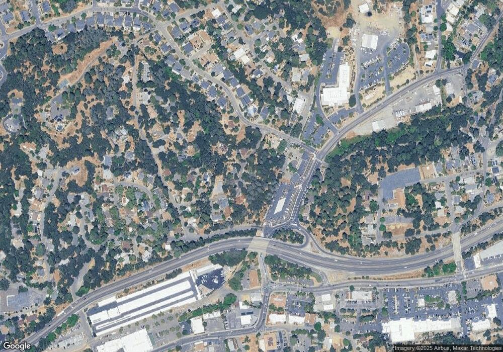
Map
Nearby Homes
- 2634 Clay St
- 2921 Miller Way
- 2940 Anderson Way
- 2725 Clay St
- 678 Main St
- 2852 Hocking St
- 3072 Spanish Ravine Rd
- 1344 Village Ln
- 0 Lincoln Aly
- 1000 Utah Dr
- 1017 Utah Dr
- 1002 Utah Dr
- 1012 Utah Dr
- 990 Thompson Way
- 3095 Cedar Ravine Rd
- 1008 Utah Dr
- 8325 County Rd M44
- 1371 Martin Ln
- 901 Union St
- 945 Crawford Drift Ct
- 1113 Franklin Ct
- 1121 Franklin Ct
- 2986 Anderson Way
- 1133 Franklin Ct
- 2631 Clay St
- 1107 Franklin Ct
- 1105 Cindy Ct
- 2967 Miller Way
- 1106 Cindy Ct
- 2649 Clay St
- 1098 Cindy Ct
- 2640 Clay St
- 2648 Clay St
- 2650 Clay St
- 1159 Franklin Ct
- 2951 Miller Way
- 1094 Cindy Ct
- 1091 Cindy Ct
- 2971 Mosquito Rd
- 2969 Miller Way
Your Personal Tour Guide
Ask me questions while you tour the home.