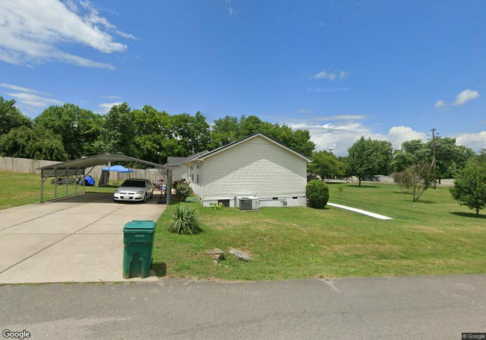
1120 Franklin Rd Lewisburg, TN 37091
Estimated Value: $209,068 - $252,000
--
Bed
2
Baths
1,092
Sq Ft
$216/Sq Ft
Est. Value
About This Home
This home is located at 1120 Franklin Rd, Lewisburg, TN 37091 and is currently estimated at $235,517, approximately $215 per square foot. 1120 Franklin Rd is a home located in Marshall County with nearby schools including Oak Grove Elementary School, Marshall Elementary School, and Westhills Elementary School.
Ownership History
Date
Name
Owned For
Owner Type
Purchase Details
Closed on
Sep 11, 2023
Sold by
Gentry Deshum Thelopius
Bought by
Gentry Tracy
Current Estimated Value
Purchase Details
Closed on
Sep 30, 2011
Bought by
Gentry Deshum Thelopius
Purchase Details
Closed on
Aug 11, 1998
Sold by
Keith Hooten
Bought by
Deshum Gentry and Deshum Stephanie
Purchase Details
Closed on
Jun 1, 1998
Bought by
Robinson David
Create a Home Valuation Report for This Property
The Home Valuation Report is an in-depth analysis detailing your home's value as well as a comparison with similar homes in the area
Home Values in the Area
Average Home Value in this Area
Purchase History
| Date | Buyer | Sale Price | Title Company |
|---|---|---|---|
| Gentry Tracy | -- | None Listed On Document | |
| Gentry Tracy | -- | None Listed On Document | |
| Gentry Deshum Thelopius | -- | -- | |
| Gentry Deshum Thelopius | -- | -- | |
| Deshum Gentry | $70,000 | -- | |
| Robinson David | $10,000 | -- |
Source: Public Records
Tax History Compared to Growth
Tax History
| Year | Tax Paid | Tax Assessment Tax Assessment Total Assessment is a certain percentage of the fair market value that is determined by local assessors to be the total taxable value of land and additions on the property. | Land | Improvement |
|---|---|---|---|---|
| 2024 | -- | $37,775 | $11,000 | $26,775 |
| 2023 | $1,156 | $37,775 | $11,000 | $26,775 |
| 2022 | $1,156 | $37,250 | $11,000 | $26,250 |
| 2021 | $945 | $20,300 | $3,750 | $16,550 |
| 2020 | $945 | $20,300 | $3,750 | $16,550 |
| 2019 | $914 | $20,300 | $3,750 | $16,550 |
| 2018 | $904 | $20,300 | $3,750 | $16,550 |
| 2017 | $904 | $20,300 | $3,750 | $16,550 |
| 2016 | $913 | $17,825 | $3,750 | $14,075 |
| 2015 | $832 | $17,825 | $3,750 | $14,075 |
| 2014 | $832 | $17,825 | $3,750 | $14,075 |
Source: Public Records
Map
Nearby Homes
- 1170 Dodson Dr
- 1025 Glenn Ave
- 1204 Glenn Ave
- 1329 Amberwood Ct
- 966 Sumerset Cir
- 1465 New Columbia Hwy
- 655 Glenn Ave
- 644 7th Ave N
- 1345 Churchill Ln
- 1462 Lexington Way
- 1464 Lexington Way
- 1466 Lexington Way
- 1468 Lexington Way
- 630 6th Ave N
- Pearson Plan at Saddle Trace - Townhomes
- 627 6th Ave N
- 1413 Prescott Ln
- 635 Jerre Ln
- 319 Greenwood St
- 594 5th Ave N
- 1130 Franklin Rd
- 1101 Dodson Dr
- 1020 Heil Quaker Ave
- 1111 Dodson Dr
- 1100 Dodson Dr
- 1180 Franklin Rd
- 1115 Dodson Dr
- 1175 Franklin Rd Unit 43
- 1106 Dodson Dr
- 1021 Heil Quaker Ave
- 1121 Dodson Dr
- 1010 Heil Quaker Ave
- 1110 Dodson Dr
- 1131 Dodson Dr
- 1020 Glenn Ave
- 1120 Dodson Dr
- 1141 Dodson Dr
- 1201 Franklin Rd
- 1130 Dodson Dr
- 960 Heil Quaker Ave