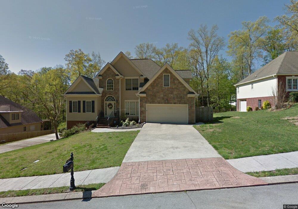
1120 Harbor Point Dr Soddy Daisy, TN 37379
Estimated Value: $608,000 - $846,000
3
Beds
3
Baths
2,962
Sq Ft
$236/Sq Ft
Est. Value
About This Home
This home is located at 1120 Harbor Point Dr, Soddy Daisy, TN 37379 and is currently estimated at $699,450, approximately $236 per square foot. 1120 Harbor Point Dr is a home located in Hamilton County.
Ownership History
Date
Name
Owned For
Owner Type
Purchase Details
Closed on
Jul 21, 2004
Sold by
Luttrell George W
Bought by
Cooper Construction Co Inc
Current Estimated Value
Home Financials for this Owner
Home Financials are based on the most recent Mortgage that was taken out on this home.
Original Mortgage
$252,000
Interest Rate
6.24%
Mortgage Type
Unknown
Purchase Details
Closed on
Feb 22, 2003
Sold by
Cooper Construction Co Inc
Bought by
Paolucci Anthony and Paolucci Michelle
Home Financials for this Owner
Home Financials are based on the most recent Mortgage that was taken out on this home.
Original Mortgage
$269,000
Interest Rate
5.68%
Mortgage Type
Unknown
Create a Home Valuation Report for This Property
The Home Valuation Report is an in-depth analysis detailing your home's value as well as a comparison with similar homes in the area
Home Values in the Area
Average Home Value in this Area
Purchase History
| Date | Buyer | Sale Price | Title Company |
|---|---|---|---|
| Cooper Construction Co Inc | $35,000 | Century Title & Escrow Inc | |
| Paolucci Anthony | $292,000 | Northgate Title Escrow Inc |
Source: Public Records
Mortgage History
| Date | Status | Borrower | Loan Amount |
|---|---|---|---|
| Previous Owner | Cooper Construction Co Inc | $252,000 | |
| Previous Owner | Paolucci Anthony | $269,000 |
Source: Public Records
Tax History Compared to Growth
Tax History
| Year | Tax Paid | Tax Assessment Tax Assessment Total Assessment is a certain percentage of the fair market value that is determined by local assessors to be the total taxable value of land and additions on the property. | Land | Improvement |
|---|---|---|---|---|
| 2024 | $2,234 | $99,850 | $0 | $0 |
| 2023 | $3,357 | $99,850 | $0 | $0 |
| 2022 | $3,357 | $99,850 | $0 | $0 |
| 2021 | $3,357 | $99,850 | $0 | $0 |
| 2020 | $3,537 | $85,675 | $0 | $0 |
| 2019 | $3,537 | $85,675 | $0 | $0 |
| 2018 | $3,537 | $85,675 | $0 | $0 |
| 2017 | $3,537 | $85,675 | $0 | $0 |
| 2016 | $3,556 | $0 | $0 | $0 |
| 2015 | $3,556 | $86,150 | $0 | $0 |
| 2014 | $3,556 | $0 | $0 | $0 |
Source: Public Records
Map
Nearby Homes
- 11312 Hixson Pike
- 11734 Armstrong Rd
- 11636 Holly Cir
- 11652 Hixson Pike
- 1235 Bentley Ln
- 1055 Apollo Dr
- 11570 Armstrong Rd
- 11008 Lovell Rd
- 11219 Dayton Pike
- 11213 Dayton Pike
- 11317 Cape View
- 1708 Restful Dr
- 191 Depot St
- 176 Depot St
- 10627 Jeneva Ln
- 1121 Natural Way
- 10496 Sovereign Pointe Dr
- 155 Depot St
- 168 Depot St
- 167 Depot St
- 1122 Harbor Point Dr
- 1118 Harbor Point Dr
- 0 Harbor Point Dr
- 1100 Harbor Landing Dr
- 1102 Harbor Landing Dr
- 1121 Harbor Point Dr
- 1221 Harbor Point Dr
- 1124 Harbor Point Dr
- 1124 Harbor Point Dr Unit 24
- 1098 Harbor Point Dr
- 1200 Harbor Point Dr
- 1220 Harbor Point Dr
- 1125 Harbor Point Dr
- 1096 Harbor Point Dr
- 1219 Harbor Point Dr
- 1104 Harbor Landing Dr
- 1227 Harbor Point Dr
- 1126 Harbor Point Dr
- 1097 Harbor Point Dr
- 1108 Clift Cave Dr