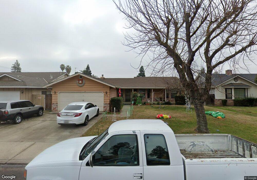
1120 Hedstrom Rd Turlock, CA 95382
Estimated Value: $488,000 - $538,000
3
Beds
2
Baths
1,842
Sq Ft
$276/Sq Ft
Est. Value
About This Home
This home is located at 1120 Hedstrom Rd, Turlock, CA 95382 and is currently estimated at $508,463, approximately $276 per square foot. 1120 Hedstrom Rd is a home located in Stanislaus County with nearby schools including Dennis G. Earl Elementary School, Marvin A. Dutcher Middle School, and Turlock Junior High School.
Ownership History
Date
Name
Owned For
Owner Type
Purchase Details
Closed on
Mar 4, 2002
Sold by
Pope Allen John Kenton and Pope Allen Mary
Bought by
Pope Allen John Kenton and Pope Allen Mary
Current Estimated Value
Purchase Details
Closed on
Nov 30, 2001
Sold by
Ryland Patricia A and Ryland William N
Bought by
Pope Allen John Kenton and Pope Allen Mary
Home Financials for this Owner
Home Financials are based on the most recent Mortgage that was taken out on this home.
Original Mortgage
$80,000
Interest Rate
7.13%
Create a Home Valuation Report for This Property
The Home Valuation Report is an in-depth analysis detailing your home's value as well as a comparison with similar homes in the area
Purchase History
| Date | Buyer | Sale Price | Title Company |
|---|---|---|---|
| Pope Allen John Kenton | -- | -- | |
| Pope Allen John Kenton | $190,000 | Chicago Title Co |
Source: Public Records
Mortgage History
| Date | Status | Borrower | Loan Amount |
|---|---|---|---|
| Previous Owner | Pope Allen John Kenton | $80,000 |
Source: Public Records
Tax History
| Year | Tax Paid | Tax Assessment Tax Assessment Total Assessment is a certain percentage of the fair market value that is determined by local assessors to be the total taxable value of land and additions on the property. | Land | Improvement |
|---|---|---|---|---|
| 2025 | $3,012 | $280,665 | $81,240 | $199,425 |
| 2024 | $2,956 | $275,163 | $79,648 | $195,515 |
| 2023 | $2,951 | $269,769 | $78,087 | $191,682 |
| 2022 | $2,914 | $264,480 | $76,556 | $187,924 |
| 2021 | $2,871 | $259,295 | $75,055 | $184,240 |
| 2020 | $2,852 | $256,637 | $74,286 | $182,351 |
| 2019 | $2,804 | $251,606 | $72,830 | $178,776 |
| 2018 | $2,801 | $246,673 | $71,402 | $175,271 |
| 2017 | $2,736 | $241,837 | $70,002 | $171,835 |
| 2016 | $2,555 | $237,096 | $68,630 | $168,466 |
| 2015 | $2,534 | $233,536 | $67,600 | $165,936 |
| 2014 | $2,509 | $228,962 | $66,276 | $162,686 |
Source: Public Records
Map
Nearby Homes
- 3161 Bridgeport Ct
- 680 Sherri Way
- 3361 Vanderbilt Ave
- 3140 Kellogg Ave
- 0 Hogin Rd Unit MC25187945
- 0 Hogin Rd Unit 225067168
- 3221 Amethyst Way
- 2293 E Tuolumne Rd
- 785 Fullerton Dr
- 3703 Brookstone Dr
- 1903 Alex Way
- 2061 Zane Way
- 2041 Zane Way
- 125 Hedstrom Rd
- 1383 Kinship Dr
- 3661 La Mancha Place
- 4093 Heartland Way
- 2063 Justice Ct
- 1740 Colorado Ave
- 2200 E Tuolumne Rd
- 1100 Hedstrom Rd
- 1140 Hedstrom Rd
- 1125 Penn Ave
- 1145 Penn Ave
- 1105 Penn Ave
- 1080 Hedstrom Rd
- 2961 Colorado Ave
- 1121 Hedstrom Rd
- 1085 Penn Ave
- 2905 Colorado Ave
- 1101 Hedstrom Rd
- 1141 Hedstrom Rd
- 1081 Hedstrom Rd
- 1040 Hedstrom Rd
- 0 Akron Dr Unit 19017300
- 0 Akron Dr Unit 19072775
- 1161 Hedstrom Rd
- 1045 Penn Ave
- 1120 Penn Ave
- 2974 Colorado Ave
Your Personal Tour Guide
Ask me questions while you tour the home.