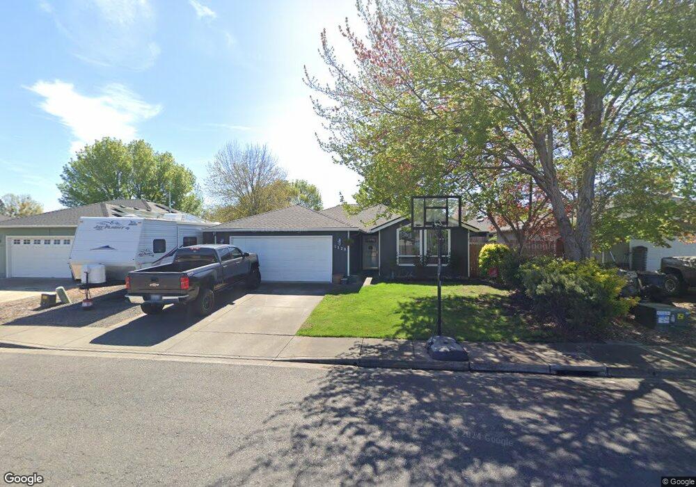
1120 Lathrop Dr Unit 49 Central Point, OR 97502
Estimated Value: $355,000 - $374,000
3
Beds
2
Baths
1,351
Sq Ft
$270/Sq Ft
Est. Value
About This Home
This home is located at 1120 Lathrop Dr Unit 49, Central Point, OR 97502 and is currently estimated at $364,646, approximately $269 per square foot. 1120 Lathrop Dr Unit 49 is a home located in Jackson County with nearby schools including Jewett Elementary School, Scenic Middle School, and Crater High School.
Ownership History
Date
Name
Owned For
Owner Type
Purchase Details
Closed on
Apr 5, 2011
Sold by
Federal Home Loan Mortgage Corporation
Bought by
Swift Brian and Swift Shannon
Current Estimated Value
Home Financials for this Owner
Home Financials are based on the most recent Mortgage that was taken out on this home.
Original Mortgage
$121,831
Outstanding Balance
$83,934
Interest Rate
4.77%
Mortgage Type
FHA
Estimated Equity
$280,712
Purchase Details
Closed on
Feb 2, 2011
Sold by
Beatty John D and Beatty Rachel L
Bought by
Federal Home Loan Mortgage Corp
Purchase Details
Closed on
Jan 7, 1999
Sold by
Cota George and Buntin Terry
Bought by
Beatty John D and Beatty Rachel L
Home Financials for this Owner
Home Financials are based on the most recent Mortgage that was taken out on this home.
Original Mortgage
$110,583
Interest Rate
6.73%
Mortgage Type
FHA
Create a Home Valuation Report for This Property
The Home Valuation Report is an in-depth analysis detailing your home's value as well as a comparison with similar homes in the area
Home Values in the Area
Average Home Value in this Area
Purchase History
| Date | Buyer | Sale Price | Title Company |
|---|---|---|---|
| Swift Brian | $125,000 | Service Link | |
| Federal Home Loan Mortgage Corp | $134,775 | Fa | |
| Beatty John D | $110,800 | Jackson County Title |
Source: Public Records
Mortgage History
| Date | Status | Borrower | Loan Amount |
|---|---|---|---|
| Open | Swift Brian | $121,831 | |
| Previous Owner | Beatty John D | $110,583 |
Source: Public Records
Tax History Compared to Growth
Tax History
| Year | Tax Paid | Tax Assessment Tax Assessment Total Assessment is a certain percentage of the fair market value that is determined by local assessors to be the total taxable value of land and additions on the property. | Land | Improvement |
|---|---|---|---|---|
| 2025 | $3,457 | $207,930 | $83,600 | $124,330 |
| 2024 | $3,457 | $201,880 | $81,160 | $120,720 |
| 2023 | $3,346 | $196,000 | $78,800 | $117,200 |
| 2022 | $3,268 | $196,000 | $78,800 | $117,200 |
| 2021 | $3,174 | $190,300 | $76,500 | $113,800 |
| 2020 | $3,082 | $184,760 | $74,280 | $110,480 |
| 2019 | $3,006 | $174,160 | $70,020 | $104,140 |
| 2018 | $2,914 | $169,090 | $67,980 | $101,110 |
| 2017 | $2,841 | $169,090 | $67,980 | $101,110 |
| 2016 | $2,758 | $159,390 | $64,080 | $95,310 |
| 2015 | $2,643 | $159,390 | $64,080 | $95,310 |
| 2014 | $2,575 | $150,250 | $60,410 | $89,840 |
Source: Public Records
Map
Nearby Homes
- 4035 Rock Way
- 920 N 10th St
- 1010 N 3rd St
- 4626 N Pacific Hwy
- 0 Peninger Rd
- 356 Marian Ave Unit 40
- 905 Comet Ave
- 335 Applewood Dr
- 833 Hazel St
- 741 Hazel St
- 327 Brookhaven Dr
- 55 Crater Ln
- 405 N 9th St
- 431 N 5th St
- 342 Hazel St
- 426 Bridge Creek Dr
- 1167 Boulder Ridge St
- 413 Sand Pointe Dr
- 422 Castle Rock Dr
- 546 Laurel St
- 1120 Lathrop Dr
- 1130 Lathrop Dr Unit 50
- 1130 Lathrop Dr
- 1110 Lathrop Dr
- 1039 Iris Cir
- 1037 Iris Cir
- 1140 Lathrop Dr Unit 51
- 1140 Lathrop Dr
- 1100 Lathrop Dr
- 1369 Vista Dr
- 1210 Daisy Cir
- 1361 Vista Dr
- 1131 Lathrop Dr
- 1040 Lathrop Dr
- 1035 Iris Cir
- 1359 Vista Dr
- 1141 Lathrop Dr
- 1101 Lathrop Dr
- 1220 Daisy Cir
- 1034 Iris Cir