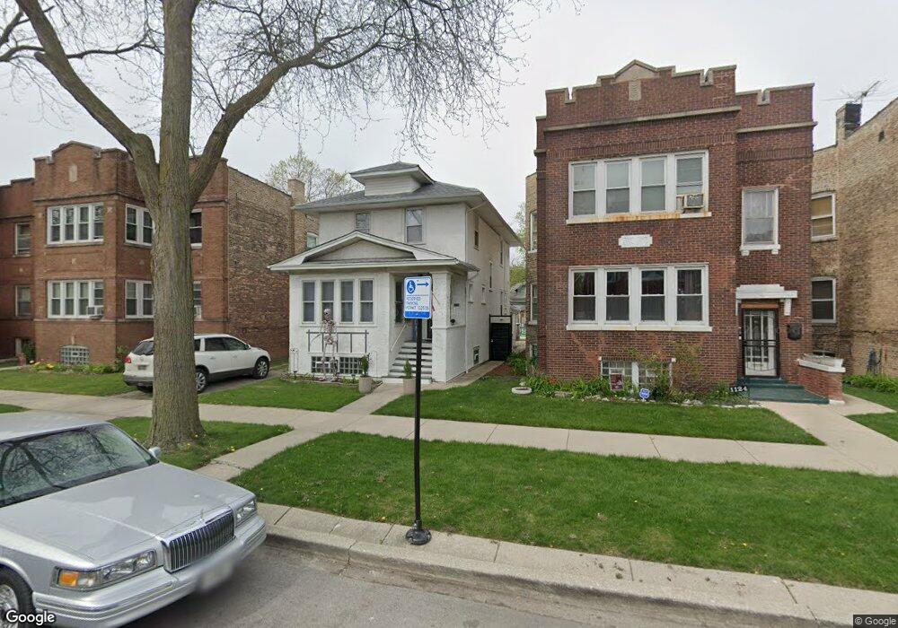
1120 N Massasoit Ave Chicago, IL 60651
Austin NeighborhoodEstimated Value: $251,000 - $345,000
4
Beds
2
Baths
2,200
Sq Ft
$135/Sq Ft
Est. Value
About This Home
This home is located at 1120 N Massasoit Ave, Chicago, IL 60651 and is currently estimated at $297,867, approximately $135 per square foot. 1120 N Massasoit Ave is a home located in Cook County with nearby schools including St Angela Elementary School and St Paul Lutheran School.
Ownership History
Date
Name
Owned For
Owner Type
Purchase Details
Closed on
May 25, 2017
Sold by
Land Addie
Bought by
Gomez Melanie
Current Estimated Value
Home Financials for this Owner
Home Financials are based on the most recent Mortgage that was taken out on this home.
Original Mortgage
$139,428
Interest Rate
3.87%
Mortgage Type
FHA
Create a Home Valuation Report for This Property
The Home Valuation Report is an in-depth analysis detailing your home's value as well as a comparison with similar homes in the area
Home Values in the Area
Average Home Value in this Area
Purchase History
| Date | Buyer | Sale Price | Title Company |
|---|---|---|---|
| Gomez Melanie | $142,000 | None Available |
Source: Public Records
Mortgage History
| Date | Status | Borrower | Loan Amount |
|---|---|---|---|
| Previous Owner | Gomez Melanie | $139,428 |
Source: Public Records
Tax History
| Year | Tax Paid | Tax Assessment Tax Assessment Total Assessment is a certain percentage of the fair market value that is determined by local assessors to be the total taxable value of land and additions on the property. | Land | Improvement |
|---|---|---|---|---|
| 2025 | $3,169 | $22,320 | $5,024 | $17,296 |
| 2024 | $3,169 | $22,320 | $5,024 | $17,296 |
| 2023 | $3,064 | $20,320 | $3,978 | $16,342 |
| 2022 | $3,064 | $19,000 | $3,978 | $15,022 |
| 2021 | $3,017 | $18,999 | $3,977 | $15,022 |
| 2020 | $2,651 | $15,622 | $3,558 | $12,064 |
| 2019 | $2,661 | $17,358 | $3,558 | $13,800 |
| 2018 | $3,429 | $17,358 | $3,558 | $13,800 |
| 2017 | $2,960 | $13,750 | $3,140 | $10,610 |
| 2016 | $202 | $13,750 | $3,140 | $10,610 |
| 2015 | $194 | $13,750 | $3,140 | $10,610 |
| 2014 | $192 | $12,860 | $2,930 | $9,930 |
| 2013 | $193 | $12,860 | $2,930 | $9,930 |
Source: Public Records
Map
Nearby Homes
- 1118 N Monitor Ave
- 5636 W Division St
- 1318 N Menard Ave
- 5511 W Haddon Ave
- 5828 W Iowa St
- 5527 W Potomac Ave
- 19 Augusta St
- 914 N Austin Blvd Unit A5
- 5416 W Thomas St
- 1418 N Mayfield Ave
- 930 N Taylor Ave
- 1429 N Mason Ave
- 5517 W Rice St
- 5718 W Superior St
- 830 N Austin Blvd
- 843 N Lorel Ave
- 1516 N Central Ave
- 919 N Long Ave
- 841 N Lombard Ave
- 1120 N Lockwood Ave
- 1124 N Massasoit Ave Unit 1
- 1116 N Massasoit Ave
- 1128 N Massasoit Ave Unit 1
- 1114 N Massasoit Ave Unit 1
- 1130 N Massasoit Ave
- 1110 N Massasoit Ave
- 1134 N Massasoit Ave
- 1121 N Menard Ave
- 1119 N Menard Ave
- 1123 N Menard Ave
- 1108 N Massasoit Ave Unit 1
- 1115 N Menard Ave
- 1125 N Menard Ave
- 1119 N Massasoit Ave
- 1136 N Massasoit Ave Unit 1
- 1127 N Massasoit Ave
- 1104 N Massasoit Ave
- 1129 N Menard Ave
- 1117 N Massasoit Ave
- 1117 N Massasoit Ave Unit 2
Your Personal Tour Guide
Ask me questions while you tour the home.