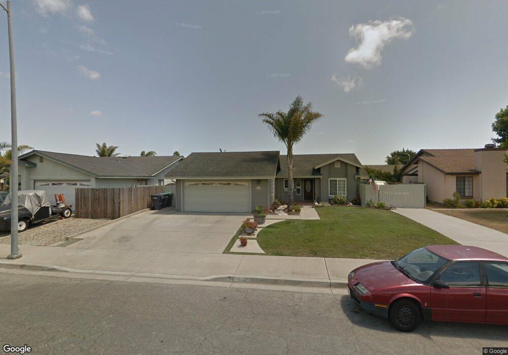
1120 N X St Lompoc, CA 93436
Estimated Value: $605,000 - $672,000
3
Beds
2
Baths
1,923
Sq Ft
$331/Sq Ft
Est. Value
About This Home
This home is located at 1120 N X St, Lompoc, CA 93436 and is currently estimated at $637,217, approximately $331 per square foot. 1120 N X St is a home located in Santa Barbara County with nearby schools including Clarence Ruth Elementary School, Lompoc Valley Middle School, and Lompoc High School.
Ownership History
Date
Name
Owned For
Owner Type
Purchase Details
Closed on
Jan 26, 2016
Sold by
Pino Robert K and Pino Andrea M
Bought by
Haleski James and Haleski Lori A
Current Estimated Value
Home Financials for this Owner
Home Financials are based on the most recent Mortgage that was taken out on this home.
Original Mortgage
$362,632
Outstanding Balance
$288,802
Interest Rate
3.92%
Mortgage Type
VA
Estimated Equity
$348,415
Create a Home Valuation Report for This Property
The Home Valuation Report is an in-depth analysis detailing your home's value as well as a comparison with similar homes in the area
Home Values in the Area
Average Home Value in this Area
Purchase History
| Date | Buyer | Sale Price | Title Company |
|---|---|---|---|
| Haleski James | $355,000 | Fidelity National Title Co |
Source: Public Records
Mortgage History
| Date | Status | Borrower | Loan Amount |
|---|---|---|---|
| Open | Haleski James | $362,632 |
Source: Public Records
Tax History
| Year | Tax Paid | Tax Assessment Tax Assessment Total Assessment is a certain percentage of the fair market value that is determined by local assessors to be the total taxable value of land and additions on the property. | Land | Improvement |
|---|---|---|---|---|
| 2025 | $4,504 | $420,241 | $94,699 | $325,542 |
| 2023 | $4,504 | $403,924 | $91,023 | $312,901 |
| 2022 | $4,424 | $396,005 | $89,239 | $306,766 |
| 2021 | $4,472 | $388,241 | $87,490 | $300,751 |
| 2020 | $4,423 | $384,261 | $86,593 | $297,668 |
| 2019 | $4,349 | $376,728 | $84,896 | $291,832 |
| 2018 | $4,281 | $369,342 | $83,232 | $286,110 |
| 2017 | $4,202 | $362,100 | $81,600 | $280,500 |
| 2016 | $3,026 | $261,372 | $78,955 | $182,417 |
| 2015 | $3,002 | $257,447 | $77,770 | $179,677 |
| 2014 | $2,959 | $252,405 | $76,247 | $176,158 |
Source: Public Records
Map
Nearby Homes
- 1103 Point Sal Loop
- 1416 Glen Ellen Ln
- 2000 Green Ridge Cir
- 2205 Point Sal Loop
- 1212 Timothy Ct
- 1012 W Anthony Way
- 1344 Village Meadows Dr
- 933 Bellflower Ln
- 600 N Y St
- 516 N U St
- 420 N W St
- 321 W North Ave Unit 133
- 321 N Z St
- 526 N L St
- 267 Village Circle Dr
- 230 N R St
- 1011 W Walnut Ave
- 1408 W Walnut Ave
- 112 N X St
- 1407 N H St
Your Personal Tour Guide
Ask me questions while you tour the home.