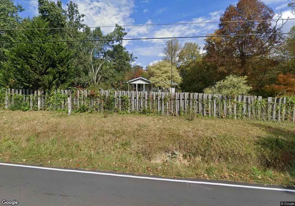
1120 Satterfield Rd Maynardville, TN 37807
Paulette NeighborhoodEstimated Value: $262,256 - $289,000
4
Beds
2
Baths
2,280
Sq Ft
$120/Sq Ft
Est. Value
About This Home
This home is located at 1120 Satterfield Rd, Maynardville, TN 37807 and is currently estimated at $273,564, approximately $119 per square foot. 1120 Satterfield Rd is a home located in Union County with nearby schools including Paulette Elementary School, Union County High School, and H Maynard Middle School.
Ownership History
Date
Name
Owned For
Owner Type
Purchase Details
Closed on
Jul 28, 2008
Sold by
Jones Michael D
Bought by
Stewart Edward J
Current Estimated Value
Purchase Details
Closed on
Apr 27, 2007
Sold by
Wilson Timothy J
Bought by
Jones Michael D
Purchase Details
Closed on
Jun 23, 2005
Sold by
Commercial Bank
Bought by
Unmarried Wilson Timothy J
Home Financials for this Owner
Home Financials are based on the most recent Mortgage that was taken out on this home.
Original Mortgage
$84,784
Interest Rate
5.57%
Mortgage Type
VA
Purchase Details
Closed on
Jan 27, 2005
Bought by
Commercial Bank
Create a Home Valuation Report for This Property
The Home Valuation Report is an in-depth analysis detailing your home's value as well as a comparison with similar homes in the area
Home Values in the Area
Average Home Value in this Area
Purchase History
| Date | Buyer | Sale Price | Title Company |
|---|---|---|---|
| Stewart Edward J | $114,900 | -- | |
| Stewart Edward J | $114,900 | -- | |
| Jones Michael D | $98,000 | -- | |
| Jones Michael D | $98,000 | -- | |
| Unmarried Wilson Timothy J | $83,000 | -- | |
| Unmarried Wilson Timothy J | $83,000 | -- | |
| Commercial Bank | $60,000 | -- | |
| Commercial Bank | $60,000 | -- |
Source: Public Records
Mortgage History
| Date | Status | Borrower | Loan Amount |
|---|---|---|---|
| Previous Owner | Commercial Bank | $84,784 |
Source: Public Records
Tax History Compared to Growth
Tax History
| Year | Tax Paid | Tax Assessment Tax Assessment Total Assessment is a certain percentage of the fair market value that is determined by local assessors to be the total taxable value of land and additions on the property. | Land | Improvement |
|---|---|---|---|---|
| 2024 | $700 | $36,825 | $4,325 | $32,500 |
| 2023 | $700 | $36,825 | $4,325 | $32,500 |
| 2022 | $585 | $36,825 | $4,325 | $32,500 |
| 2021 | $563 | $26,325 | $3,275 | $23,050 |
| 2020 | $563 | $26,325 | $3,275 | $23,050 |
| 2019 | $563 | $26,325 | $3,275 | $23,050 |
| 2018 | $563 | $26,325 | $3,275 | $23,050 |
| 2017 | $563 | $26,325 | $3,275 | $23,050 |
| 2016 | $535 | $24,650 | $4,200 | $20,450 |
| 2015 | $535 | $24,650 | $4,200 | $20,450 |
| 2014 | $451 | $24,655 | $0 | $0 |
Source: Public Records
Map
Nearby Homes
- 213 Brock Rd
- 211 Jamie St
- 215 Jamie St
- 112 Dogwood St
- L-7 Williams Dr
- 275 Dogwood Ln
- 7725 Texas Valley Rd
- 9211 Brock Rd
- 9210 Brock Rd
- 9024 Welch Rd
- 323 Maynardville Hwy
- 0 Satterfield Rd Unit 1313221
- 8210 Wood Rd
- 7439 Haley Ln
- 375 Russell Dr
- 00 Old Tazewell Pike
- 346 Wolfenbarger Ln
- 8127 Campbells Point Rd
- 8012 Campbells Point Rd
- 0 Campbells Point Rd
- 1124 Satterfield Rd
- 1104 Satterfield Rd
- 1113 Satterfield Rd
- 1123 Satterfield Rd
- 1129 Satterfield Rd
- 1133 Satterfield Rd
- 1136 Satterfield Rd
- 1139 Satterfield Rd
- 1103 Satterfield Rd
- 1078 Satterfield Rd
- 107 Brock Rd
- 1070 Satterfield Rd
- 135 Buck Ln
- 1066 Satterfield Rd
- 1147 Satterfield Rd
- 1147 Satterfield Rd
- 1073 Satterfield Rd
- 1149 Satterfield Rd
- 1058 Satterfield Rd
- 180 Holman Ln