1120 State Route 25 Oswego, IL 60543
Boulder Hill NeighborhoodEstimated Value: $341,000 - $460,156
4
Beds
2
Baths
1,789
Sq Ft
$224/Sq Ft
Est. Value
About This Home
This home is located at 1120 State Route 25, Oswego, IL 60543 and is currently estimated at $401,289, approximately $224 per square foot. 1120 State Route 25 is a home located in Kendall County with nearby schools including Boulder Hill Elementary School, Thompson Jr. High School, and Oswego High School.
Ownership History
Date
Name
Owned For
Owner Type
Purchase Details
Closed on
May 30, 2014
Sold by
Wilson Lester
Bought by
Wilson Lester and Wilson Louis
Current Estimated Value
Purchase Details
Closed on
Nov 20, 2002
Sold by
Wilson Helen M
Bought by
Wilson Helen M
Purchase Details
Closed on
May 8, 1998
Sold by
Wilson Helen Sabo
Bought by
Oswegoland Park District
Create a Home Valuation Report for This Property
The Home Valuation Report is an in-depth analysis detailing your home's value as well as a comparison with similar homes in the area
Home Values in the Area
Average Home Value in this Area
Purchase History
| Date | Buyer | Sale Price | Title Company |
|---|---|---|---|
| Wilson Lester | -- | None Available | |
| Wilson Lester | -- | None Available | |
| Wilson Helen M | -- | -- | |
| Oswegoland Park District | -- | -- |
Source: Public Records
Tax History Compared to Growth
Tax History
| Year | Tax Paid | Tax Assessment Tax Assessment Total Assessment is a certain percentage of the fair market value that is determined by local assessors to be the total taxable value of land and additions on the property. | Land | Improvement |
|---|---|---|---|---|
| 2024 | $4,017 | $115,524 | $43,836 | $71,688 |
| 2023 | $4,509 | $100,455 | $38,118 | $62,337 |
| 2022 | $4,509 | $93,883 | $35,624 | $58,259 |
| 2021 | $4,673 | $87,741 | $33,293 | $54,448 |
| 2020 | $4,719 | $85,185 | $32,323 | $52,862 |
| 2019 | $4,795 | $81,959 | $32,323 | $49,636 |
| 2018 | $5,309 | $81,503 | $32,143 | $49,360 |
| 2017 | $5,377 | $78,369 | $30,907 | $47,462 |
| 2016 | $5,457 | $74,284 | $29,296 | $44,988 |
| 2015 | $5,726 | $69,424 | $27,379 | $42,045 |
| 2014 | -- | $66,754 | $26,326 | $40,428 |
| 2013 | -- | $67,428 | $26,592 | $40,836 |
Source: Public Records
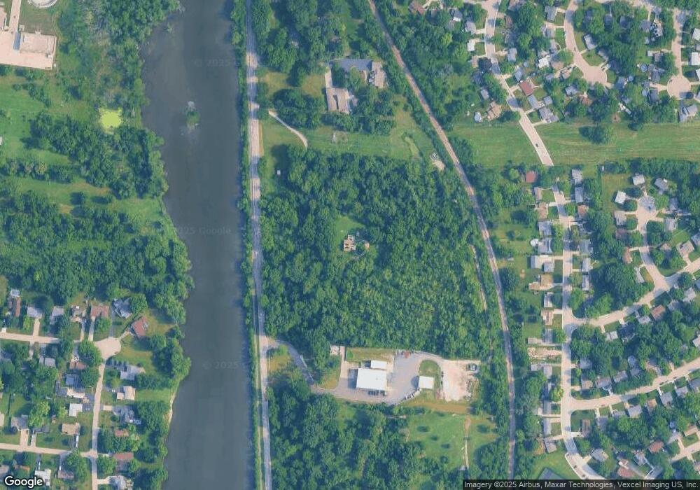
Map
Nearby Homes
- Parcel 004 & 003 Illinois 25
- 23 Old Post Rd
- 8 Clay Ct
- 5.43 B-3 Commercial State Route 31
- 117 Boulder Hill Pass Unit 117
- 7.43 Acres Vacant La State Route 31
- 11-13 W Anchor Rd
- 2400 Light Rd Unit 212
- 2700 Light Rd Unit 205
- 2100 Light Rd Unit 109
- 172 Boulder Hill Pass
- 29 Briarcliff Rd
- 3 Ridgefield Rd
- 36 Circle Dr E
- 1721 State Route 31
- 4 Circle Ct
- 16 Brockway Dr
- 4 Crestwood Ct
- 15 Crescent Ct
- 17 Knollwood Dr Unit 3
- Parcel 003 & 004 Illinois 25
- 1000 State Route 25 Unit A
- 1000 State Route 25 Unit B
- 49 Circle Dr W
- 51 Circle Dr W
- 39 Circle Dr W
- 53 Circle Dr W
- 41 Circle Dr W
- 45 Circle Dr W
- 45 Circle Dr W
- 43 Circle Dr W
- 55 Circle Dr W
- 47 Circle Dr W
- 57 Circle Dr W
- 960 State Route 25
- 37 Circle Dr W
- 35 Circle Dr W
- 59 Circle Dr W
- 990 State Route 25 Unit A
- 33 Circle Dr W