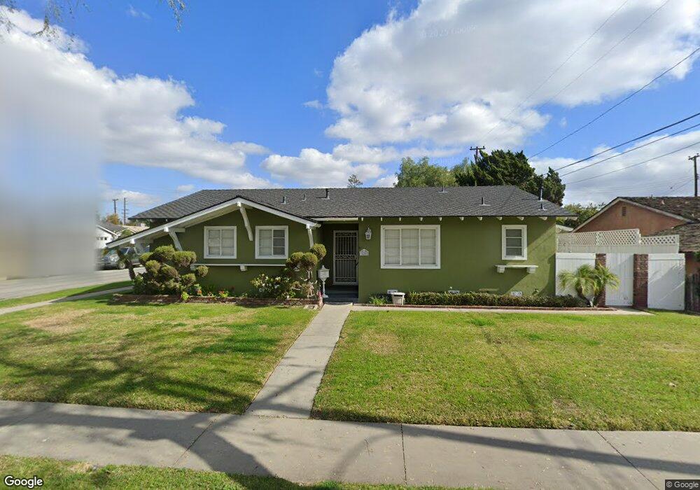
11202 Cullman Ave Whittier, CA 90603
South Whittier NeighborhoodEstimated Value: $835,425 - $878,000
3
Beds
2
Baths
1,299
Sq Ft
$658/Sq Ft
Est. Value
About This Home
This home is located at 11202 Cullman Ave, Whittier, CA 90603 and is currently estimated at $854,606, approximately $657 per square foot. 11202 Cullman Ave is a home located in Los Angeles County with nearby schools including Jordan Elementary School, Rancho-Starbuck Intermediate School, and La Habra High School.
Ownership History
Date
Name
Owned For
Owner Type
Purchase Details
Closed on
Apr 18, 2002
Sold by
Kobzeff Michael R
Bought by
Kobzeff Michael and Kobzeff Donna
Current Estimated Value
Home Financials for this Owner
Home Financials are based on the most recent Mortgage that was taken out on this home.
Original Mortgage
$170,000
Interest Rate
7.08%
Create a Home Valuation Report for This Property
The Home Valuation Report is an in-depth analysis detailing your home's value as well as a comparison with similar homes in the area
Home Values in the Area
Average Home Value in this Area
Purchase History
| Date | Buyer | Sale Price | Title Company |
|---|---|---|---|
| Kobzeff Michael | -- | North American Title Co |
Source: Public Records
Mortgage History
| Date | Status | Borrower | Loan Amount |
|---|---|---|---|
| Closed | Kobzeff Michael | $170,000 |
Source: Public Records
Tax History Compared to Growth
Tax History
| Year | Tax Paid | Tax Assessment Tax Assessment Total Assessment is a certain percentage of the fair market value that is determined by local assessors to be the total taxable value of land and additions on the property. | Land | Improvement |
|---|---|---|---|---|
| 2025 | $4,288 | $345,415 | $224,566 | $120,849 |
| 2024 | $4,288 | $338,643 | $220,163 | $118,480 |
| 2023 | $4,248 | $332,004 | $215,847 | $116,157 |
| 2022 | $4,193 | $325,495 | $211,615 | $113,880 |
| 2021 | $4,098 | $319,114 | $207,466 | $111,648 |
| 2019 | $3,967 | $309,651 | $201,313 | $108,338 |
| 2018 | $3,692 | $303,580 | $197,366 | $106,214 |
| 2016 | $3,511 | $291,794 | $189,703 | $102,091 |
| 2015 | $3,397 | $287,412 | $186,854 | $100,558 |
| 2014 | $3,366 | $281,783 | $183,194 | $98,589 |
Source: Public Records
Map
Nearby Homes
- 11315 Groveside Ave
- 16040 Leffingwell Rd Unit 76
- 16040 Leffingwell Rd Unit 103
- 16040 Leffingwell Rd Unit 92
- 11518 1st Ave
- 16036 Hornell St
- 10931 Groveside Ave
- 10930 Groveland Ave
- 16621 Crape Myrtle Ln
- 10930 Grovedale Dr
- 10732 Lindesmith Ave
- 15952 Norcrest Dr
- 11636 Tigrina Ave
- 11503 Grovedale Dr
- 11509 Grovedale Dr
- Plan 3 at Rosewood Village
- Plan 1 at Rosewood Village
- Plan 2 at Rosewood Village
- 16048 Richvale Dr
- 16036 Richvale Dr
- 11210 Cullman Ave
- 11203 Newcomb Ave
- 11207 Newcomb Ave
- 16307 Rutherglen St
- 11218 Cullman Ave
- 16313 Rutherglen St
- 16245 Rutherglen St
- 11215 Newcomb Ave
- 11205 Cullman Ave
- 11211 Cullman Ave
- 16319 Rutherglen St
- 16237 Rutherglen St
- 11224 Cullman Ave
- 11221 Newcomb Ave
- 11219 Cullman Ave
- 16302 Leffingwell Rd
- 16327 Rutherglen St
- 16310 Leffingwell Rd
- 16231 Rutherglen St
- 11225 Newcomb Ave