11202 Gosling Rd Cincinnati, OH 45252
Estimated Value: $424,000 - $525,612
3
Beds
3
Baths
2,536
Sq Ft
$196/Sq Ft
Est. Value
About This Home
This home is located at 11202 Gosling Rd, Cincinnati, OH 45252 and is currently estimated at $497,903, approximately $196 per square foot. 11202 Gosling Rd is a home located in Hamilton County with nearby schools including Colerain Elementary School, Colerain Middle School, and Colerain High School.
Ownership History
Date
Name
Owned For
Owner Type
Purchase Details
Closed on
Jun 17, 1994
Sold by
Schmidt Allen J and Freeman Lynda L
Bought by
Dorr James R and Dorr Megan K Meehan
Current Estimated Value
Home Financials for this Owner
Home Financials are based on the most recent Mortgage that was taken out on this home.
Original Mortgage
$17,000
Interest Rate
8.58%
Create a Home Valuation Report for This Property
The Home Valuation Report is an in-depth analysis detailing your home's value as well as a comparison with similar homes in the area
Home Values in the Area
Average Home Value in this Area
Purchase History
| Date | Buyer | Sale Price | Title Company |
|---|---|---|---|
| Dorr James R | -- | -- | |
| Schmidt Allen J | -- | -- |
Source: Public Records
Mortgage History
| Date | Status | Borrower | Loan Amount |
|---|---|---|---|
| Closed | Dorr James R | $17,000 |
Source: Public Records
Tax History Compared to Growth
Tax History
| Year | Tax Paid | Tax Assessment Tax Assessment Total Assessment is a certain percentage of the fair market value that is determined by local assessors to be the total taxable value of land and additions on the property. | Land | Improvement |
|---|---|---|---|---|
| 2024 | $8,240 | $153,602 | $34,479 | $119,123 |
| 2023 | $8,275 | $153,602 | $34,479 | $119,123 |
| 2022 | $7,853 | $118,871 | $34,692 | $84,179 |
| 2021 | $7,804 | $118,871 | $34,692 | $84,179 |
| 2020 | $7,863 | $118,871 | $34,692 | $84,179 |
| 2019 | $7,953 | $112,144 | $32,729 | $79,415 |
| 2018 | $7,135 | $112,144 | $32,729 | $79,415 |
| 2017 | $6,772 | $112,144 | $32,729 | $79,415 |
| 2016 | $6,726 | $109,760 | $32,074 | $77,686 |
| 2015 | $6,778 | $109,760 | $32,074 | $77,686 |
| 2014 | $6,791 | $109,760 | $32,074 | $77,686 |
| 2013 | $6,596 | $112,001 | $32,729 | $79,272 |
Source: Public Records
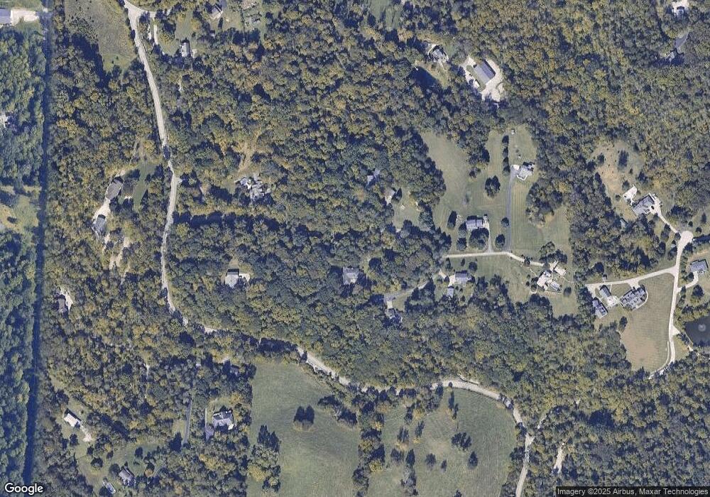
Map
Nearby Homes
- 6037 Dunlap Rd
- 5567 Day Rd
- 0 Miamitrail Ln Unit 1852362
- 11115 Colerain Ave
- 6575 River Rd
- 5285 Yeatman Rd
- 6811 Chapel Ln
- 6875 Chapel Ln
- 10391 E Miami River Rd
- 10232 Roppelt Rd
- 0 Thrush Ave Unit 1853359
- 2107 Robin Ave
- 7079 Fort Scott Blvd
- 11881 Stone Mill Rd
- 0 Stone Mill Rd Unit 1846428
- 1 Stone Mill Rd
- 11970 Stone Mill Rd
- 7113 Fort Scott Blvd
- 7117 Fort Scott Blvd
- 10046 Brehm Rd
- 11214 Gosling Rd
- 11204 Gosling Rd
- 11212 Gosling Rd
- 11200 Gosling Rd
- 11240 Gosling Rd
- 11206 Gosling Rd
- 11179 Gosling Rd
- 11210 Gosling Rd
- 11208 Gosling Rd
- 5987 Dunlap Rd
- 11266 Gosling Rd
- 11245 Gosling Rd
- 0 Gosling Rd Unit 1344743
- 0 Gosling Rd Unit 905857
- 0 Gosling Rd Unit 695824
- 0 Gosling Rd Unit 675899
- 0 Gosling Rd Unit 1667848
- 0 Gosling Rd Unit 1651352
- 0 Gosling Rd Unit 1463317
- 0 Gosling Rd Unit 1110779