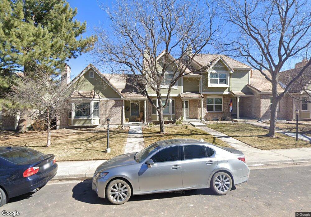
11206 Wyandot St Denver, CO 80234
The Ranch NeighborhoodEstimated Value: $410,000 - $451,000
2
Beds
2
Baths
1,470
Sq Ft
$291/Sq Ft
Est. Value
About This Home
This home is located at 11206 Wyandot St, Denver, CO 80234 and is currently estimated at $427,938, approximately $291 per square foot. 11206 Wyandot St is a home located in Adams County with nearby schools including Cotton Creek Elementary School, Silver Hills Middle School, and Mountain Range High School.
Ownership History
Date
Name
Owned For
Owner Type
Purchase Details
Closed on
May 20, 2014
Sold by
Fahrni Bruce C and Fahrni Susan Jane
Bought by
Fahrni Living Trust
Current Estimated Value
Purchase Details
Closed on
Jan 28, 2003
Sold by
Fahrni Susan Jane and Townsend George W
Bought by
Fahrni Bruce C and Fahrni Susan Jane
Home Financials for this Owner
Home Financials are based on the most recent Mortgage that was taken out on this home.
Original Mortgage
$78,000
Interest Rate
5.9%
Create a Home Valuation Report for This Property
The Home Valuation Report is an in-depth analysis detailing your home's value as well as a comparison with similar homes in the area
Home Values in the Area
Average Home Value in this Area
Purchase History
| Date | Buyer | Sale Price | Title Company |
|---|---|---|---|
| Fahrni Living Trust | -- | None Available | |
| Fahrni Bruce C | -- | Land Title |
Source: Public Records
Mortgage History
| Date | Status | Borrower | Loan Amount |
|---|---|---|---|
| Previous Owner | Fahrni Bruce C | $78,000 |
Source: Public Records
Tax History Compared to Growth
Tax History
| Year | Tax Paid | Tax Assessment Tax Assessment Total Assessment is a certain percentage of the fair market value that is determined by local assessors to be the total taxable value of land and additions on the property. | Land | Improvement |
|---|---|---|---|---|
| 2024 | $2,572 | $27,000 | $6,250 | $20,750 |
| 2023 | $2,544 | $29,830 | $5,680 | $24,150 |
| 2022 | $2,393 | $22,770 | $4,870 | $17,900 |
| 2021 | $2,472 | $22,770 | $4,870 | $17,900 |
| 2020 | $2,507 | $23,550 | $5,010 | $18,540 |
| 2019 | $2,512 | $23,550 | $5,010 | $18,540 |
| 2018 | $2,213 | $20,070 | $2,230 | $17,840 |
| 2017 | $1,996 | $20,070 | $2,230 | $17,840 |
| 2016 | $1,856 | $18,090 | $2,470 | $15,620 |
| 2015 | $1,854 | $18,090 | $2,470 | $15,620 |
| 2014 | $1,417 | $13,400 | $2,470 | $10,930 |
Source: Public Records
Map
Nearby Homes
- 1665 W 113th Ave
- 11351 Quivas Way
- 11183 Alcott St Unit D
- 11172 Bryant Ct
- 11210 Quivas Loop
- 11242 Osage Cir Unit B
- 2421 Ranch Reserve Ridge
- 2562 W 110th Ave
- 11207 Osage Cir Unit B
- 11163 Navajo St
- 2556 W 110th Place
- 11485 Pecos St
- 2502 W 108th Place
- 11016 Clay Dr
- 2681 Ranch Reserve Ridge
- 1283 W 112th Ave Unit B
- 10793 Alcott Way
- 1121 W 112th Ave Unit C
- 1591 Roseanna Dr
- 10752 Zuni Dr
- 11208 Wyandot St
- 11204 Wyandot St
- 11202 Wyandot St
- 11242 Wyandot St
- 11244 Wyandot St
- 2122 Ranch Dr
- 2124 Ranch Dr
- 2120 Ranch Dr
- 2134 Ranch Dr
- 2118 Ranch Dr
- 11248 Wyandot St
- 2136 Ranch Dr
- 2138 Ranch Dr
- 2140 Ranch Dr
- 11205 Wyandot St
- 11203 Wyandot St
- 11201 Wyandot St
- 11241 Wyandot St
- 11243 Wyandot St
- 2130 Ranch Dr