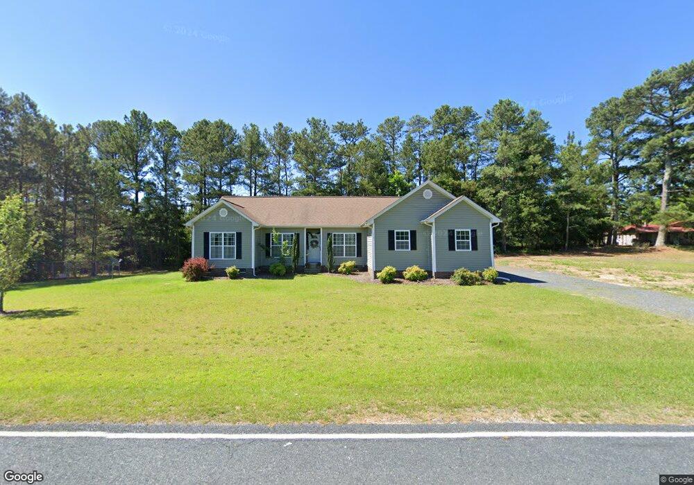
1121 Currie Rd Candor, NC 27229
Estimated Value: $187,000 - $282,616
3
Beds
3
Baths
1,904
Sq Ft
$115/Sq Ft
Est. Value
About This Home
This home is located at 1121 Currie Rd, Candor, NC 27229 and is currently estimated at $219,154, approximately $115 per square foot. 1121 Currie Rd is a home located in Montgomery County with nearby schools including Green Ridge Elementary School, Mount Gilead Elementary School, and East Middle School.
Ownership History
Date
Name
Owned For
Owner Type
Purchase Details
Closed on
Aug 1, 2017
Sold by
Lee Samuel E
Bought by
Cranford Lee Theresa Danielle
Current Estimated Value
Purchase Details
Closed on
Jun 4, 2010
Sold by
Cranford Jean H
Bought by
Cranford Theresa Danielle
Home Financials for this Owner
Home Financials are based on the most recent Mortgage that was taken out on this home.
Original Mortgage
$153,000
Interest Rate
3.75%
Mortgage Type
Farmers Home Administration
Purchase Details
Closed on
Aug 29, 2007
Sold by
Cranford Terence D and Cranford Jean H
Bought by
Cranford Theresa D and Cranford Jean H
Create a Home Valuation Report for This Property
The Home Valuation Report is an in-depth analysis detailing your home's value as well as a comparison with similar homes in the area
Home Values in the Area
Average Home Value in this Area
Purchase History
| Date | Buyer | Sale Price | Title Company |
|---|---|---|---|
| Cranford Lee Theresa Danielle | -- | None Available | |
| Cranford Theresa Danielle | -- | -- | |
| Cranford Theresa D | -- | -- |
Source: Public Records
Mortgage History
| Date | Status | Borrower | Loan Amount |
|---|---|---|---|
| Closed | Cranford Theresa Danielle | $153,000 |
Source: Public Records
Tax History Compared to Growth
Tax History
| Year | Tax Paid | Tax Assessment Tax Assessment Total Assessment is a certain percentage of the fair market value that is determined by local assessors to be the total taxable value of land and additions on the property. | Land | Improvement |
|---|---|---|---|---|
| 2025 | $893 | $145,255 | $10,950 | $134,305 |
| 2024 | $893 | $145,255 | $10,950 | $134,305 |
| 2023 | $893 | $145,255 | $10,950 | $134,305 |
| 2022 | $893 | $145,255 | $10,950 | $134,305 |
| 2021 | $893 | $145,255 | $10,950 | $134,305 |
| 2020 | $893 | $145,255 | $10,950 | $134,305 |
| 2018 | $1,033 | $166,600 | $10,950 | $155,650 |
| 2017 | $1,033 | $166,600 | $10,950 | $155,650 |
| 2016 | $1,033 | $166,600 | $10,950 | $155,650 |
| 2015 | -- | $166,600 | $0 | $0 |
| 2014 | -- | $166,560 | $0 | $0 |
Source: Public Records
Map
Nearby Homes
- 330 S Mccallum St
- 314 S Mccallum St
- 180 Dusty St
- 0 N Thayer St
- 00 Route 220 Hwy
- 593 Cedar Creek Rd
- 207 Leach St
- 309 Emery Rd
- 325 Craven St
- 403 Mill St
- 0000 Pekin Rd Unit 2
- 0 E Nc Hwy 24 27 None
- 0 W Main St
- 218 W Main St
- 27 N Carolina 24
- 217 Lambert Rd
- 110 Brendana Dr
- 230 Wright Rd
- 0 Wright Rd
- 303 Green St
- 1127 Currie Rd
- 1160 Currie Rd
- 1132 Currie Rd
- 1052 Currie Rd
- 1179 Currie Rd
- 1045 Currie Rd
- 1030 Currie Rd
- 1024 Currie Rd
- 1242 Currie Rd
- 104 Furrville Rd
- 987 Currie Rd
- 1000 Currie Rd
- 963 Currie Rd
- 146 Furrville Rd
- 1263 Currie Rd
- 924 Currie Rd
- 164 Furrville Rd
- 164 Furrville Rd
- 116 Betty Ray Dr
- 3242 Candor-Troy Rd Rw Rd