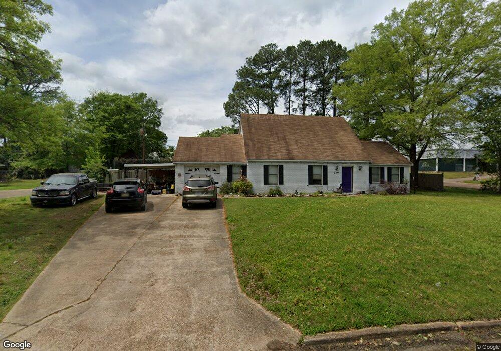
1121 Mapleview Rd West Point, MS 39773
Estimated Value: $240,000 - $280,000
4
Beds
--
Bath
2,622
Sq Ft
$97/Sq Ft
Est. Value
About This Home
This home is located at 1121 Mapleview Rd, West Point, MS 39773 and is currently estimated at $254,655, approximately $97 per square foot. 1121 Mapleview Rd is a home located in Clay County with nearby schools including East Side Elementary School, West Clay Elementary School, and Church Hill Elementary School.
Ownership History
Date
Name
Owned For
Owner Type
Purchase Details
Closed on
Feb 4, 2022
Sold by
Gibbons Lisa M
Bought by
Ray Matthew Thomas
Current Estimated Value
Purchase Details
Closed on
Nov 13, 2019
Sold by
Golson Mignon
Bought by
Gordon Hamlin Shannon
Home Financials for this Owner
Home Financials are based on the most recent Mortgage that was taken out on this home.
Original Mortgage
$171,830
Interest Rate
3.87%
Mortgage Type
FHA
Purchase Details
Closed on
Oct 12, 2011
Sold by
Coleman Lee S and Williams Virginia Shinn
Bought by
Golson Mignon
Create a Home Valuation Report for This Property
The Home Valuation Report is an in-depth analysis detailing your home's value as well as a comparison with similar homes in the area
Purchase History
| Date | Buyer | Sale Price | Title Company |
|---|---|---|---|
| Ray Matthew Thomas | -- | Helveston & Easterling Llp | |
| Gordon Hamlin Shannon | -- | -- | |
| Golson Mignon | -- | -- |
Source: Public Records
Mortgage History
| Date | Status | Borrower | Loan Amount |
|---|---|---|---|
| Previous Owner | Gordon Hamlin Shannon | $171,830 |
Source: Public Records
Tax History
| Year | Tax Paid | Tax Assessment Tax Assessment Total Assessment is a certain percentage of the fair market value that is determined by local assessors to be the total taxable value of land and additions on the property. | Land | Improvement |
|---|---|---|---|---|
| 2025 | $1,452 | $26,771 | $4,125 | $22,646 |
| 2024 | $3,598 | $26,771 | $4,125 | $22,646 |
| 2023 | $3,598 | $24,042 | $4,125 | $19,917 |
| 2022 | $1,310 | $24,042 | $4,125 | $19,917 |
| 2021 | $1,307 | $24,042 | $4,125 | $19,917 |
| 2020 | $1,307 | $24,042 | $4,125 | $19,917 |
| 2019 | $1,233 | $23,859 | $4,125 | $19,734 |
| 2018 | $1,182 | $23,859 | $4,125 | $19,734 |
| 2017 | $1,181 | $23,859 | $4,125 | $19,734 |
| 2016 | $1,135 | $23,832 | $4,125 | $19,707 |
| 2015 | $604 | $15,290 | $2,750 | $12,540 |
| 2014 | $985 | $15,290 | $2,750 | $12,540 |
| 2013 | $985 | $15,290 | $2,750 | $12,540 |
Source: Public Records
Map
Nearby Homes
- 389 Mapleview Rd
- 264 Mapleview Rd
- 161 Mapleview Rd
- 15 David St
- 44 Torbert Dr
- 405 S Eshman Ave
- Lot 2 Waverly Rd
- Lot 6 Waverly Rd
- Lot 5 Waverly Rd
- Lot 3 Waverly Rd
- Lot 10 Waverly Rd
- Lot 8 Waverly Rd
- Lot 7 Waverly Rd
- Lot 9 Waverly Rd
- Lot 4 Waverly Rd
- Lot 11 Waverly Rd
- 1046 E Brame Ave
- 472 S Eshman Ave
- 3986 E Church Hill Rd
- 278 Converse Dr
- 429 Mapleview Rd
- 1155 Mapleview Rd
- 1118 Mapleview Rd
- 1140 Mapleview Rd
- 402 Mapleview Rd
- 1254 E Church Hill Rd
- 1329 Oak Dr
- 378 Mapleview Rd
- 3390 E Church Hill Rd
- 1206 Mapleview Rd
- 341 Mapleview Rd
- 342 Mapleview Rd
- 1316 Oak Dr
- 1323 Oak Dr
- 309 Mapleview Rd
- 1219 Mapleview Rd
- 1322 Oak Dr
- 1218 Mapleview Rd
- 1304 Oak Dr
- 1325 Elm Crest Cove
Your Personal Tour Guide
Ask me questions while you tour the home.