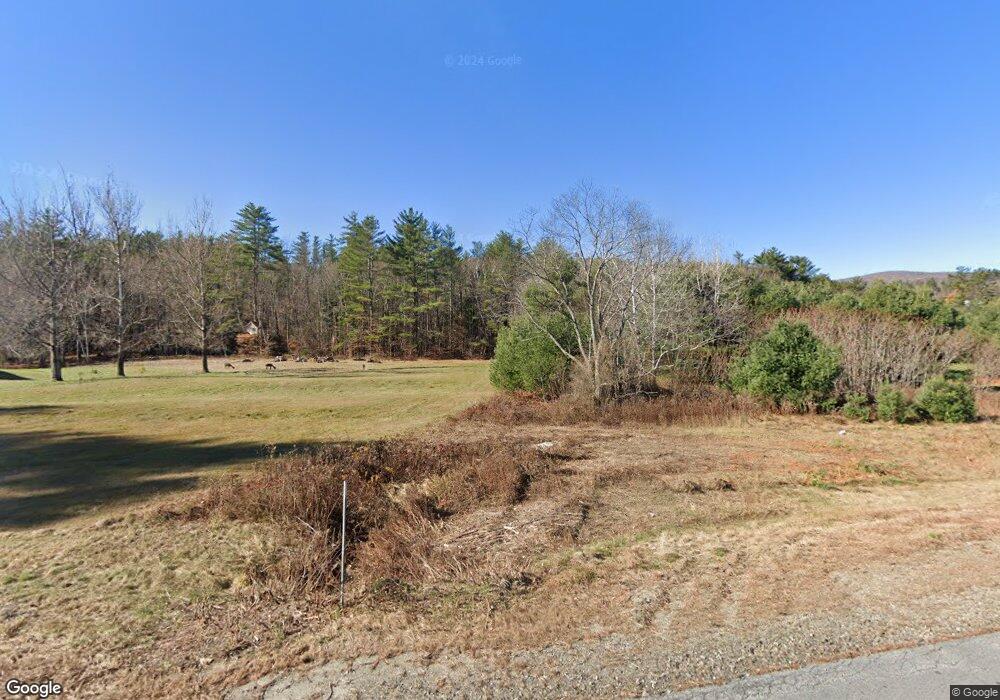
1121 Mount Moosilauke Hwy Wentworth, NH 03282
Estimated Value: $685,000 - $874,000
4
Beds
3
Baths
3,200
Sq Ft
$235/Sq Ft
Est. Value
About This Home
This home is located at 1121 Mount Moosilauke Hwy, Wentworth, NH 03282 and is currently estimated at $753,472, approximately $235 per square foot. 1121 Mount Moosilauke Hwy is a home located in Grafton County with nearby schools including Wentworth Elementary School and Plymouth Regional High School.
Ownership History
Date
Name
Owned For
Owner Type
Purchase Details
Closed on
Apr 4, 2017
Sold by
Hinckley Glen H and Hinckley Delores M
Bought by
Currier Tracy J and Currier Morgan P
Current Estimated Value
Home Financials for this Owner
Home Financials are based on the most recent Mortgage that was taken out on this home.
Original Mortgage
$290,000
Interest Rate
4.15%
Mortgage Type
Purchase Money Mortgage
Create a Home Valuation Report for This Property
The Home Valuation Report is an in-depth analysis detailing your home's value as well as a comparison with similar homes in the area
Home Values in the Area
Average Home Value in this Area
Purchase History
| Date | Buyer | Sale Price | Title Company |
|---|---|---|---|
| Currier Tracy J | $325,000 | -- |
Source: Public Records
Mortgage History
| Date | Status | Borrower | Loan Amount |
|---|---|---|---|
| Open | Currier Tracy J | $40,000 | |
| Open | Currier Tracy J | $357,420 | |
| Closed | Hinckley Glen H | $351,220 | |
| Closed | Hinckley Glen H | $290,000 | |
| Previous Owner | Hinckley Glen H | $285,000 | |
| Previous Owner | Hinckley Glen H | $360,000 |
Source: Public Records
Tax History Compared to Growth
Tax History
| Year | Tax Paid | Tax Assessment Tax Assessment Total Assessment is a certain percentage of the fair market value that is determined by local assessors to be the total taxable value of land and additions on the property. | Land | Improvement |
|---|---|---|---|---|
| 2024 | $9,478 | $426,949 | $67,349 | $359,600 |
| 2023 | $10,763 | $426,938 | $67,338 | $359,600 |
| 2022 | $8,074 | $399,316 | $68,016 | $331,300 |
| 2021 | $8,138 | $399,293 | $67,993 | $331,300 |
| 2020 | $4,449 | $316,432 | $49,032 | $267,400 |
| 2019 | $4,254 | $313,076 | $48,976 | $264,100 |
| 2018 | $4,121 | $313,295 | $49,195 | $264,100 |
| 2017 | $8,038 | $313,268 | $49,168 | $264,100 |
| 2016 | $3,462 | $313,209 | $49,109 | $264,100 |
| 2015 | $6,694 | $320,137 | $41,737 | $278,400 |
| 2013 | $6,863 | $319,973 | $56,473 | $263,500 |
Source: Public Records
Map
Nearby Homes
- 376 E Side Rd
- 968 Mount Moosilauke Hwy
- 39 Ellsworth Hill Rd
- 0 Chase Rd Unit 5042064
- 14 Chase Rd
- 433 New Hampshire 25a
- 446 New Hampshire 25
- 104 Saunders Hill Rd
- 0 Saunders Hill Rd
- 382 Buffalo Rd
- 0 Cape Moonshine Rd Unit 5058670
- 257 Rowentown Rd
- 387 Cheever Rd
- 1222 Gov Meldrim Thomson Scenic Hwy
- 295 Cheever Rd
- Lot 8 Cheever Rd
- Lot 10 Cheever Rd
- 15-12-10-6 Jacob Hall Farm Rd
- 12-12-10-8 Jacob Hall Farm Rd
- 12-12-10-12 Jacob Hall Farm Rd
- 1121 Mount Moosilauke Hwy
- 1121 Mount Moosilauke Hwy
- 49 Woodhaven Rd
- 47 Woodhaven Rd
- 43 Woodhaven Rd
- 39 Woodhaven Rd
- 1159 Mount Moosilauke Hwy
- 37 Woodhaven Rd
- 32 Woodhaven Rd
- 34 Woodhaven Rd
- 1069 Mt Moosilauke Hwy
- 1167 Rt25 Mt Moosilauke Hwy Hwy
- 1167 Mount Moosilauke Hwy
- 1156 Mount Moosilauke Hwy
- 36 Woodhaven Rd
- - Beech Hill Rd
- 1181 Mount Moosilauke Hwy
- 0 Beech Hill Rd
- 0 Beech Hill Rd
- 0 Beech Hill Rd