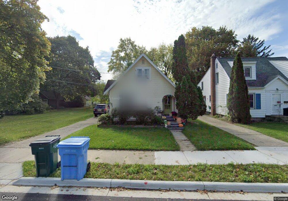
1121 Poxson Ave Lansing, MI 48910
Colonial Village NeighborhoodEstimated Value: $131,000 - $167,000
3
Beds
1
Bath
1,082
Sq Ft
$141/Sq Ft
Est. Value
About This Home
This home is located at 1121 Poxson Ave, Lansing, MI 48910 and is currently estimated at $152,710, approximately $141 per square foot. 1121 Poxson Ave is a home located in Ingham County with nearby schools including Averill Elementary School, Attwood School, and J.W. Sexton High School.
Ownership History
Date
Name
Owned For
Owner Type
Purchase Details
Closed on
Feb 25, 2003
Sold by
Rivas Kristine E and Kurtze Kristine E
Bought by
Mortensen Peter
Current Estimated Value
Home Financials for this Owner
Home Financials are based on the most recent Mortgage that was taken out on this home.
Original Mortgage
$101,850
Outstanding Balance
$44,009
Interest Rate
5.95%
Mortgage Type
Purchase Money Mortgage
Estimated Equity
$108,701
Purchase Details
Closed on
Dec 20, 1996
Sold by
Mechachonis Anthony and Mechachonis Pamela
Bought by
Ellis Kristine E
Create a Home Valuation Report for This Property
The Home Valuation Report is an in-depth analysis detailing your home's value as well as a comparison with similar homes in the area
Home Values in the Area
Average Home Value in this Area
Purchase History
| Date | Buyer | Sale Price | Title Company |
|---|---|---|---|
| Mortensen Peter | $101,867 | Transnation | |
| Ellis Kristine E | $59,000 | -- |
Source: Public Records
Mortgage History
| Date | Status | Borrower | Loan Amount |
|---|---|---|---|
| Open | Mortensen Peter | $101,850 |
Source: Public Records
Tax History
| Year | Tax Paid | Tax Assessment Tax Assessment Total Assessment is a certain percentage of the fair market value that is determined by local assessors to be the total taxable value of land and additions on the property. | Land | Improvement |
|---|---|---|---|---|
| 2025 | $2,860 | $60,000 | $7,000 | $53,000 |
| 2024 | $23 | $56,900 | $7,000 | $49,900 |
| 2023 | $2,682 | $52,000 | $7,000 | $45,000 |
| 2022 | $2,418 | $46,600 | $7,000 | $39,600 |
| 2021 | $2,368 | $44,200 | $7,100 | $37,100 |
| 2020 | $2,354 | $41,500 | $7,100 | $34,400 |
| 2019 | $2,256 | $39,000 | $7,100 | $31,900 |
| 2018 | $2,114 | $37,000 | $7,100 | $29,900 |
| 2017 | $2,024 | $37,000 | $7,100 | $29,900 |
| 2016 | $1,936 | $36,400 | $7,100 | $29,300 |
| 2015 | $1,936 | $35,300 | $14,210 | $21,090 |
| 2014 | $1,936 | $34,200 | $15,811 | $18,389 |
Source: Public Records
Map
Nearby Homes
- 2001 S Martin Luther King Junior Blvd
- 1323 Cooper Ave
- 2519 Marion Ave
- 2421 Stirling Ave
- 1312 W Mount Hope Ave
- 815 Woodbine Ave
- 1517 Lenore Ave
- 900 W Mount Hope Ave
- 1116 George St
- 1534 Lenore Ave
- 712 Lenore Ave
- 1618 Loraine Ave
- 815 Smith Ave
- 1017 W Barnes Ave
- 717 Smith Ave
- 612 W Mount Hope Ave
- 1309 Hammond St
- 924 Loa St
- 1723 Osband Ave
- 1740 Wellington Rd Unit 103
- 1125 Poxson Ave
- 1113 Poxson Ave
- 1129 Poxson Ave
- 1120 Gordon Ave
- 1124 Gordon Ave
- 1116 Gordon Ave
- 1201 Poxson Ave
- 1126 Gordon Ave
- 1205 Poxson Ave
- 1200 Gordon Ave
- 1120 Poxson Ave
- 1116 Poxson Ave
- 1112 Poxson Ave
- 1128 Poxson Ave
- 1204 Gordon Ave
- 1209 Poxson Ave
- 1200 Poxson Ave
- 1208 Gordon Ave
- 1204 Poxson Ave
- 1213 Poxson Ave
Your Personal Tour Guide
Ask me questions while you tour the home.