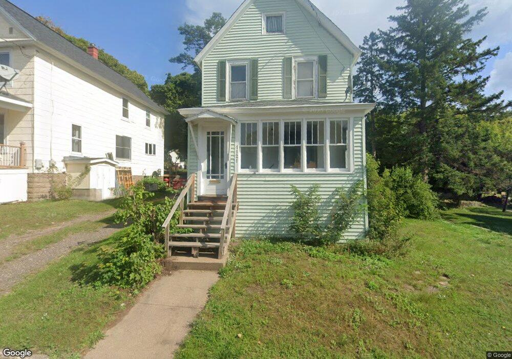
1121 Summit St Hancock, MI 49930
Estimated Value: $136,338 - $189,000
2
Beds
1
Bath
1,281
Sq Ft
$130/Sq Ft
Est. Value
About This Home
This home is located at 1121 Summit St, Hancock, MI 49930 and is currently estimated at $166,335, approximately $129 per square foot. 1121 Summit St is a home located in Houghton County with nearby schools including Barkell Elementary School and Hancock Middle/High School.
Ownership History
Date
Name
Owned For
Owner Type
Purchase Details
Closed on
Feb 23, 2017
Sold by
Paul Nels T and Paul Catherine J
Bought by
Luke Paul
Current Estimated Value
Home Financials for this Owner
Home Financials are based on the most recent Mortgage that was taken out on this home.
Original Mortgage
$58,200
Outstanding Balance
$48,079
Interest Rate
4.12%
Mortgage Type
New Conventional
Estimated Equity
$118,256
Purchase Details
Closed on
Dec 9, 2005
Bought by
Paul Nels and Paul Catherine
Create a Home Valuation Report for This Property
The Home Valuation Report is an in-depth analysis detailing your home's value as well as a comparison with similar homes in the area
Home Values in the Area
Average Home Value in this Area
Purchase History
| Date | Buyer | Sale Price | Title Company |
|---|---|---|---|
| Luke Paul | $60,000 | Copper Range Abs & Title | |
| Paul Nels | $57,500 | -- |
Source: Public Records
Mortgage History
| Date | Status | Borrower | Loan Amount |
|---|---|---|---|
| Open | Luke Paul | $58,200 |
Source: Public Records
Tax History
| Year | Tax Paid | Tax Assessment Tax Assessment Total Assessment is a certain percentage of the fair market value that is determined by local assessors to be the total taxable value of land and additions on the property. | Land | Improvement |
|---|---|---|---|---|
| 2025 | $2,127 | $60,113 | $0 | $0 |
| 2024 | $21 | $54,706 | $0 | $0 |
| 2023 | $1,980 | $46,249 | $0 | $0 |
| 2022 | $2,109 | $36,625 | $0 | $0 |
| 2021 | $1,457 | $34,549 | $0 | $0 |
| 2020 | $1,439 | $31,697 | $0 | $0 |
| 2019 | $1,429 | $31,206 | $0 | $0 |
| 2018 | $1,451 | $32,651 | $0 | $0 |
| 2017 | $1,205 | $30,627 | $0 | $0 |
| 2016 | -- | $28,718 | $0 | $0 |
| 2015 | -- | $28,718 | $0 | $0 |
| 2014 | -- | $27,613 | $0 | $0 |
Source: Public Records
Map
Nearby Homes
- 1115 Summit St
- 900 3rd St
- 1035 Ethel Ave
- Unit 4 Greenway Dr Unit 4
- TBD A W Sharon Ave
- Unit 6 Greenway Dr
- TBD W Sharon Ave
- TBD Off Cedar St
- TBD Green Acres Rd
- 515 Emma Ave
- 726 N Lincoln Dr
- Lot 54 Maplewood Glade
- Lot 51 Maplewood Glade
- Lot 52 Maplewood Glade
- Lot 53 Maplewood Glade
- Lot 49 Crestwood Dr
- TBD A B C Navy Stream
- TBD Ingot and Us41
- 19575 Ingot St
- 52097 Michigan 203