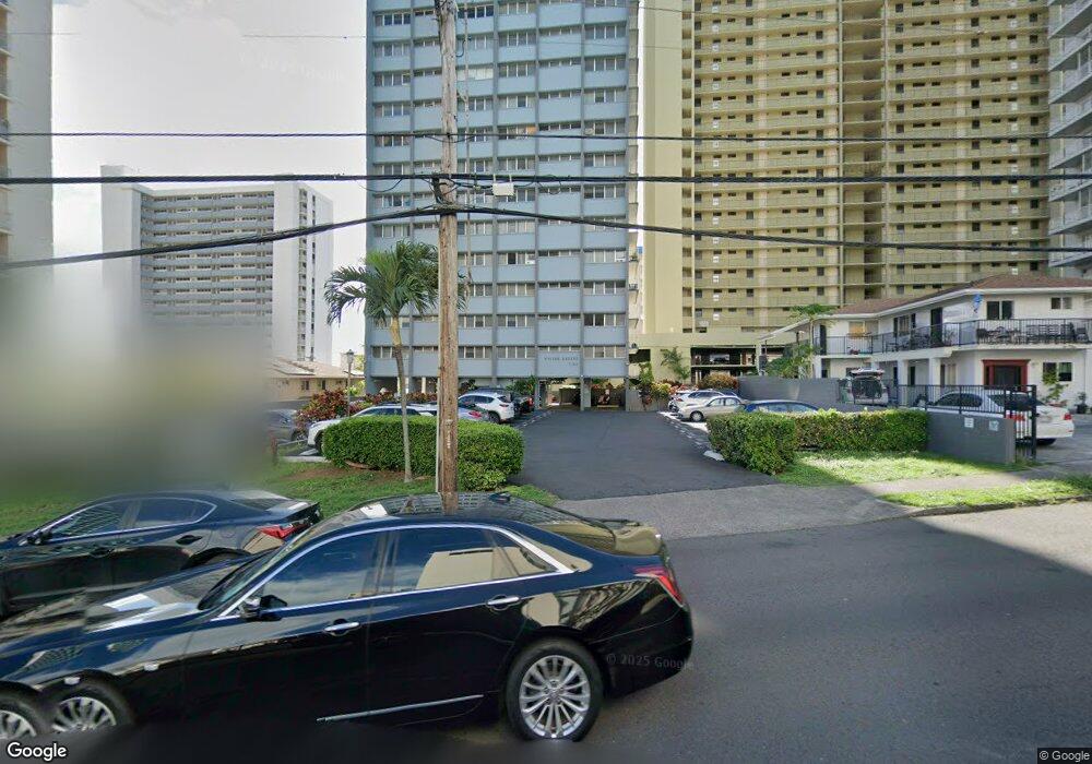
1121 Wilder Ave Unit 1300 Honolulu, HI 96822
Makiki NeighborhoodEstimated Value: $427,000 - $521,000
2
Beds
2
Baths
835
Sq Ft
$568/Sq Ft
Est. Value
About This Home
This home is located at 1121 Wilder Ave Unit 1300, Honolulu, HI 96822 and is currently estimated at $473,900, approximately $567 per square foot. 1121 Wilder Ave Unit 1300 is a home located in Honolulu County with nearby schools including Queen Ka'ahumanu Elementary School, President William McKinley High School, and St. Clement's School.
Ownership History
Date
Name
Owned For
Owner Type
Purchase Details
Closed on
Sep 20, 2021
Sold by
Tokio Yonesaki Raymond
Bought by
Raymond T Yonesaki Trust
Current Estimated Value
Purchase Details
Closed on
Sep 8, 2021
Sold by
Raymond T Yonesaki Trust
Bought by
Eleanor N Yonesaki Trust and Yonesaki
Purchase Details
Closed on
Feb 20, 2020
Sold by
Yonesaki Raymond Tokio and Yonesaki Eleanor Nago
Bought by
Yonesaki Raymond T and Yonesaki Eleanor N
Create a Home Valuation Report for This Property
The Home Valuation Report is an in-depth analysis detailing your home's value as well as a comparison with similar homes in the area
Home Values in the Area
Average Home Value in this Area
Purchase History
| Date | Buyer | Sale Price | Title Company |
|---|---|---|---|
| Raymond T Yonesaki Trust | -- | -- | |
| Eleanor N Yonesaki Trust | -- | None Listed On Document | |
| Yonesaki Eleanor N | -- | None Available | |
| Raymond T Yonesaki Trust | -- | -- | |
| Yonesaki Eleanor N | -- | None Available | |
| Yonesaki Eleanor N | -- | None Available | |
| Raymond T Yonesaki Trust | -- | -- | |
| Yonesaki Raymond T | -- | None Available | |
| Yonesaki Raymond T | -- | None Available | |
| Yonesaki Raymond T | -- | None Available |
Source: Public Records
Tax History Compared to Growth
Tax History
| Year | Tax Paid | Tax Assessment Tax Assessment Total Assessment is a certain percentage of the fair market value that is determined by local assessors to be the total taxable value of land and additions on the property. | Land | Improvement |
|---|---|---|---|---|
| 2025 | $1,254 | $507,700 | $108,500 | $399,200 |
| 2024 | $1,254 | $518,300 | $108,500 | $409,800 |
| 2023 | $942 | $509,100 | $108,500 | $400,600 |
| 2022 | $1,225 | $489,900 | $106,400 | $383,500 |
| 2021 | $1,149 | $468,400 | $97,900 | $370,500 |
| 2020 | $1,158 | $470,900 | $97,900 | $373,000 |
| 2019 | $1,124 | $451,200 | $97,900 | $353,300 |
| 2018 | $1,124 | $441,000 | $80,900 | $360,100 |
| 2017 | $1,266 | $481,800 | $78,800 | $403,000 |
| 2016 | $1,126 | $441,600 | $74,500 | $367,100 |
| 2015 | $1,071 | $426,000 | $66,000 | $360,000 |
| 2014 | $856 | $442,100 | $55,300 | $386,800 |
Source: Public Records
Map
Nearby Homes
- 1111 Wilder Ave Unit PHA
- 1111 Wilder Ave Unit 14
- 1111 Wilder Ave Unit 9
- 1561 Pensacola St Unit 1104
- 1121 Wilder Ave Unit 900
- 1137 Wilder Ave Unit 801
- 1535 Pensacola St Unit 405
- 1535 Pensacola St Unit 600
- 1535 Pensacola St Unit 208
- 1535 Pensacola St Unit 1002
- 1535 Pensacola St Unit 503
- 1130 Wilder Ave Unit 301
- 1650 Piikoi St Unit 403
- 1556 Piikoi St Unit 1507
- 1556 Piikoi St Unit 2004
- 1025 Wilder Ave Unit 7A
- 1025 Wilder Ave Unit 12B
- 1524 Pensacola St Unit 210
- 1524 Pensacola St Unit 201
- 1145 Davenport St Unit 101
- 1121 Wilder Ave Unit 1000
- 1121 Wilder Ave Unit 1100
- 1121 Wilder Ave Unit 1600
- 1121 Wilder Ave Unit 900
- 1121 Wilder Ave Unit 800
- 1121 Wilder Ave Unit 700
- 1121 Wilder Ave Unit 600
- 1121 Wilder Ave Unit 400
- 1121 Wilder Ave Unit 300
- 1121 Wilder Ave Unit 2000
- 1121 Wilder Ave Unit 200
- 1121 Wilder Ave Unit 1900
- 1121 Wilder Ave Unit 200A
- 1121 Wilder Ave Unit 1400
- 1121 Wilder Ave Unit 1400A
- 1121 Wilder Ave Unit 500
- 1121 Wilder Ave Unit 2100
- 1121 Wilder Ave Unit 1200B
- 1121 Wilder Ave Unit 1000
- 1121 Wilder Ave Unit 1800B