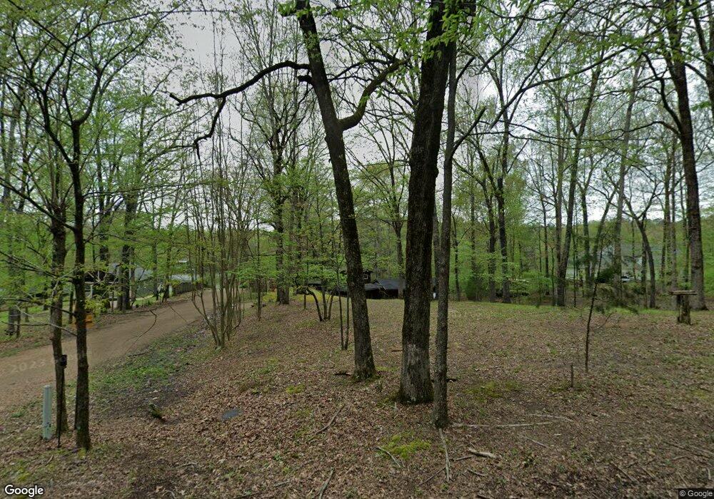
11210 Shady Ln Eads, TN 38028
Gray's Creek NeighborhoodEstimated Value: $309,960 - $667,000
4
Beds
2
Baths
2,682
Sq Ft
$182/Sq Ft
Est. Value
About This Home
This home is located at 11210 Shady Ln, Eads, TN 38028 and is currently estimated at $488,480, approximately $182 per square foot. 11210 Shady Ln is a home located in Shelby County with nearby schools including Macon-Hall Elementary School, Mt. Pisgah Middle School, and Germantown High School.
Ownership History
Date
Name
Owned For
Owner Type
Purchase Details
Closed on
Mar 23, 2009
Sold by
Marrone David A and Marrone Susan Danielle
Bought by
Foster Murray P and Foster Karen E
Current Estimated Value
Home Financials for this Owner
Home Financials are based on the most recent Mortgage that was taken out on this home.
Original Mortgage
$260,200
Outstanding Balance
$164,742
Interest Rate
5.13%
Mortgage Type
FHA
Estimated Equity
$323,738
Purchase Details
Closed on
Feb 5, 2004
Sold by
Marrone David A and Marrone Cynthia
Bought by
Marrone David A
Purchase Details
Closed on
Jul 20, 1999
Sold by
Simmons Rhoda J
Bought by
Marrone David A and Marrone Cynthia
Home Financials for this Owner
Home Financials are based on the most recent Mortgage that was taken out on this home.
Original Mortgage
$115,900
Interest Rate
7.51%
Purchase Details
Closed on
Sep 10, 1998
Sold by
Simmons Russell J
Bought by
Simmons Rhoda J
Create a Home Valuation Report for This Property
The Home Valuation Report is an in-depth analysis detailing your home's value as well as a comparison with similar homes in the area
Home Values in the Area
Average Home Value in this Area
Purchase History
| Date | Buyer | Sale Price | Title Company |
|---|---|---|---|
| Foster Murray P | $265,000 | Home Surety Title & Escrow L | |
| Marrone David A | -- | -- | |
| Marrone David A | $122,000 | -- | |
| Marrone David A | $122,000 | -- | |
| Simmons Rhoda J | -- | -- | |
| Simmons Rhoda J | -- | -- |
Source: Public Records
Mortgage History
| Date | Status | Borrower | Loan Amount |
|---|---|---|---|
| Open | Foster Murray P | $260,200 | |
| Previous Owner | Marrone David A | $115,900 |
Source: Public Records
Tax History Compared to Growth
Tax History
| Year | Tax Paid | Tax Assessment Tax Assessment Total Assessment is a certain percentage of the fair market value that is determined by local assessors to be the total taxable value of land and additions on the property. | Land | Improvement |
|---|---|---|---|---|
| 2025 | $2,081 | $67,000 | $13,425 | $53,575 |
| 2024 | $2,081 | $61,400 | $12,450 | $48,950 |
| 2023 | $2,081 | $61,400 | $12,450 | $48,950 |
| 2022 | $2,081 | $61,400 | $12,450 | $48,950 |
| 2021 | $2,118 | $61,400 | $12,450 | $48,950 |
| 2020 | $1,564 | $38,625 | $11,500 | $27,125 |
| 2019 | $1,564 | $38,625 | $11,500 | $27,125 |
Source: Public Records
Map
Nearby Homes
- 11090 Cedar Dr
- 590 Shady Hollow Cove
- 214 Mountain Brook Cove
- 11167 Monterey Rd
- 64 Monterey Oaks Cove
- 11378 Monterey
- 330 Falling Creek Cove
- 425 Buckland Cove
- 414 Laurel Falls Cove
- 11760 Stable View Dr
- 10485 Raleigh Lagrange Rd E
- 45 Pisgah N
- 1796 N Waverton Cove
- 1796 Campden Dr
- 1752 Campden Dr
- 1288 Bull Creek Ln
- 899 Newington St
- 1307 Bull Creek Ln
- 1164 Moss Creek Cove
- LOT 5 Collierville-Arlington Rd
- 11206 Shady Ln
- 11202 Shady Ln
- 11228 Shady Ln
- 11192 Shady Ln
- 11182 Shady Ln
- 11029 Shady Ln
- 11170 Shady Ln
- 441 Barbara Ln
- 11160 Shady Ln
- 439 Barbara Ln
- 468 Lookout Dr
- 11195 Barbara Cove
- 450 Lookout Dr
- 469 Lookout Dr
- 11223 Barbara Cove
- 442 Lookout Dr
- 11117 Holly Dr
- 366 Barbara Ln
- 11094 Cedar Dr
- 11099 Cedar Dr
