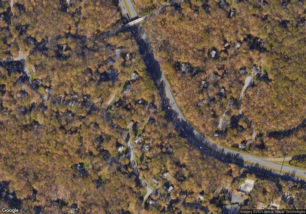
11212 Robert Carter Rd Fairfax Station, VA 22039
Estimated Value: $977,000 - $1,107,000
4
Beds
4
Baths
2,668
Sq Ft
$394/Sq Ft
Est. Value
About This Home
This home is located at 11212 Robert Carter Rd, Fairfax Station, VA 22039 and is currently estimated at $1,050,429, approximately $393 per square foot. 11212 Robert Carter Rd is a home located in Fairfax County with nearby schools including Oak View Elementary School, James W Robinson, Jr. Secondary School, and Fairfax Baptist Temple Academy.
Ownership History
Date
Name
Owned For
Owner Type
Purchase Details
Closed on
Jun 11, 1999
Sold by
Tom Loretta M
Bought by
Koklish John P
Current Estimated Value
Home Financials for this Owner
Home Financials are based on the most recent Mortgage that was taken out on this home.
Original Mortgage
$240,000
Outstanding Balance
$62,514
Interest Rate
6.9%
Estimated Equity
$987,915
Create a Home Valuation Report for This Property
The Home Valuation Report is an in-depth analysis detailing your home's value as well as a comparison with similar homes in the area
Home Values in the Area
Average Home Value in this Area
Purchase History
| Date | Buyer | Sale Price | Title Company |
|---|---|---|---|
| Koklish John P | $340,000 | -- |
Source: Public Records
Mortgage History
| Date | Status | Borrower | Loan Amount |
|---|---|---|---|
| Open | Koklish John P | $240,000 |
Source: Public Records
Tax History Compared to Growth
Tax History
| Year | Tax Paid | Tax Assessment Tax Assessment Total Assessment is a certain percentage of the fair market value that is determined by local assessors to be the total taxable value of land and additions on the property. | Land | Improvement |
|---|---|---|---|---|
| 2025 | $10,041 | $950,850 | $326,000 | $624,850 |
| 2024 | $10,041 | $866,750 | $290,000 | $576,750 |
| 2023 | $9,484 | $840,430 | $290,000 | $550,430 |
| 2022 | $9,080 | $794,080 | $272,000 | $522,080 |
| 2021 | $8,138 | $693,500 | $236,000 | $457,500 |
| 2020 | $7,759 | $655,630 | $227,000 | $428,630 |
| 2019 | $7,624 | $644,180 | $227,000 | $417,180 |
| 2018 | $7,408 | $644,180 | $227,000 | $417,180 |
| 2017 | $7,322 | $630,640 | $222,000 | $408,640 |
| 2016 | $7,186 | $620,300 | $218,000 | $402,300 |
| 2015 | $6,923 | $620,300 | $218,000 | $402,300 |
| 2014 | $6,907 | $620,300 | $218,000 | $402,300 |
Source: Public Records
Map
Nearby Homes
- 11019 Clara Barton Dr
- 5826 Hannora Ln
- 5810 Hannora Ln
- 10848 Burr Oak Way
- 5900 Carters Oak Ct
- 10911 Carters Oak Way
- 10731 Bear Oak Ct
- 11533 Clara Barton Dr
- 5713 Oak Green Way
- 5879 Jacksons Oak Ct
- 5703 Oak Stake Ct
- 5816 Oak Leather Dr
- 6305 Barsky Ct
- 6220 Winslow Ct
- 5506 Great Tree Ct
- 10679 Spring Oak Ct
- 5538 Shooters Hill Ln
- 10676 Myrtle Oak Ct
- 11322 Long Manor Dr
- 6408 Jumet Ct
- 11214 Robert Carter Rd
- 11210 Robert Carter Rd
- 11216 Robert Carter Rd
- 6111 Housatonic Ct
- 6109 Housatonic Ct
- 11208 Robert Carter Rd
- 6105 Housatonic Ct
- 6113 Housatonic Ct
- 11134 Robert Carter Rd
- 11206 Robert Carter Rd
- 11166 Deuaughn Ct
- 6103 Housatonic Ct
- 11220 Robert Carter Rd
- 11160 Deuaughn Ct
- 11211 Robert Carter Rd
- 11162 Deuaughn Ct
- 6108 Housatonic Ct
- 6102 Housatonic Ct
- 11202 Robert Carter Rd
- 11217 Robert Carter Rd
