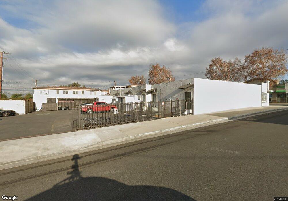
11212 Whittier Blvd Whittier, CA 90606
West Whittier-Los Nietos NeighborhoodEstimated Value: $1,455,768
--
Bed
--
Bath
6,978
Sq Ft
$209/Sq Ft
Est. Value
About This Home
This home is located at 11212 Whittier Blvd, Whittier, CA 90606 and is currently estimated at $1,455,768, approximately $208 per square foot. 11212 Whittier Blvd is a home located in Los Angeles County with nearby schools including West Whittier Elementary School, Katherine Edwards Middle School, and Pioneer High School.
Ownership History
Date
Name
Owned For
Owner Type
Purchase Details
Closed on
Jan 15, 2020
Sold by
Pabst Barry J and Barry J Pabst Trust
Bought by
Pabst Mark and The Pabst Trust
Current Estimated Value
Purchase Details
Closed on
Dec 5, 2013
Sold by
Pabst Barry
Bought by
Pabst Barry J and The Barry J Pabst Trust
Purchase Details
Closed on
Nov 13, 2013
Sold by
Pabst Barry and Berryman B Pabst Family Trust
Bought by
Pabst Barry
Create a Home Valuation Report for This Property
The Home Valuation Report is an in-depth analysis detailing your home's value as well as a comparison with similar homes in the area
Home Values in the Area
Average Home Value in this Area
Purchase History
| Date | Buyer | Sale Price | Title Company |
|---|---|---|---|
| Pabst Mark | -- | None Available | |
| Pabst Barry J | -- | None Available | |
| Pabst Barry | -- | None Available |
Source: Public Records
Tax History Compared to Growth
Tax History
| Year | Tax Paid | Tax Assessment Tax Assessment Total Assessment is a certain percentage of the fair market value that is determined by local assessors to be the total taxable value of land and additions on the property. | Land | Improvement |
|---|---|---|---|---|
| 2025 | $17,963 | $1,163,611 | $756,618 | $406,993 |
| 2024 | $16,997 | $1,140,796 | $741,783 | $399,013 |
| 2023 | $16,701 | $1,118,429 | $727,239 | $391,190 |
| 2022 | $16,383 | $1,096,500 | $712,980 | $383,520 |
| 2021 | $16,320 | $1,100,282 | $707,252 | $393,030 |
| 2020 | $7,417 | $306,275 | $157,786 | $148,489 |
| 2019 | $7,324 | $300,271 | $154,693 | $145,578 |
| 2018 | $6,828 | $294,384 | $151,660 | $142,724 |
| 2016 | $6,470 | $282,955 | $145,772 | $137,183 |
| 2015 | $6,331 | $278,706 | $143,583 | $135,123 |
| 2014 | -- | $273,248 | $140,771 | $132,477 |
Source: Public Records
Map
Nearby Homes
- 11232 Dorland Dr
- 11273 Dorland Dr
- 11447 Broadway Ave
- 6266 Western Ave
- 6225 Gretna Ave
- 6240 Gretna Ave
- 10943 Loch Lomond Dr
- 10825 Loch Avon Dr
- 11567 Keith Dr
- 6222 Magnolia Ave
- 11302 Maple St
- 11730 Whittier Blvd Unit 27
- 11730 Whittier Blvd Unit 39
- 11730 Whittier Blvd Unit 54
- 11730 Whittier Blvd Unit 55
- 11402 Rose Hedge Dr
- 11409 Bradhurst St
- 11905 Mendenhall Ln
- 12031 Beverly Blvd Unit 1D
- 11840 Nixon Ln
- 11228 Whittier Blvd
- 11226 Whittier Blvd
- 11217 Whittier Blvd
- 11213 See Dr
- 11219 See Dr
- 11205 Whittier Blvd
- 11209 See Dr
- 11236 Dorland Dr
- 11203 See Dr
- 11231 See Dr
- 11108 Whittier Blvd
- 11159 See Dr
- 11228 Dorland Dr
- 11237 See Dr
- 11153 See Dr
- 11222 Dorland Dr
- 11256 Dorland Dr
- 11147 See Dr
- 11214 See Dr
- 11216 Dorland Dr