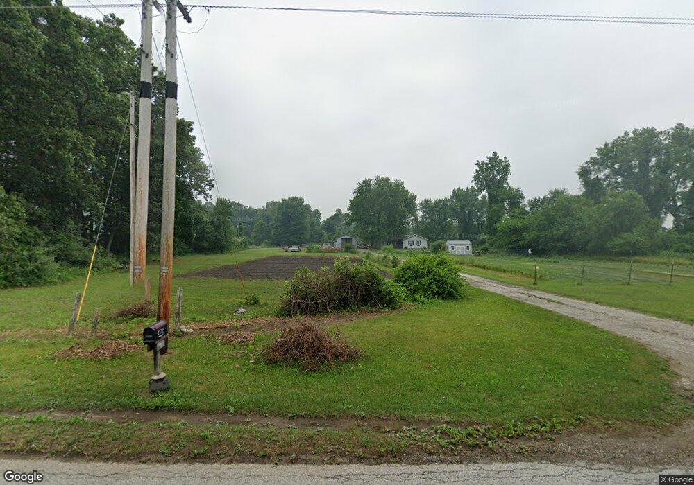
11215 E 400 N Grovertown, IN 46531
Estimated Value: $182,548 - $266,000
3
Beds
1
Bath
1,312
Sq Ft
$170/Sq Ft
Est. Value
About This Home
This home is located at 11215 E 400 N, Grovertown, IN 46531 and is currently estimated at $223,387, approximately $170 per square foot. 11215 E 400 N is a home located in Starke County with nearby schools including Oregon-Davis Elementary School and Oregon-Davis Junior/Senior High School.
Ownership History
Date
Name
Owned For
Owner Type
Purchase Details
Closed on
Mar 7, 2021
Sold by
Miller Rodger E and Miller Patricia M
Bought by
Miller Rodger E and Wyatt Amanda
Current Estimated Value
Home Financials for this Owner
Home Financials are based on the most recent Mortgage that was taken out on this home.
Original Mortgage
$75,000
Interest Rate
6.33%
Mortgage Type
New Conventional
Create a Home Valuation Report for This Property
The Home Valuation Report is an in-depth analysis detailing your home's value as well as a comparison with similar homes in the area
Purchase History
| Date | Buyer | Sale Price | Title Company |
|---|---|---|---|
| Miller Rodger E | -- | -- |
Source: Public Records
Mortgage History
| Date | Status | Borrower | Loan Amount |
|---|---|---|---|
| Previous Owner | Miller Rodger E | $75,000 |
Source: Public Records
Tax History
| Year | Tax Paid | Tax Assessment Tax Assessment Total Assessment is a certain percentage of the fair market value that is determined by local assessors to be the total taxable value of land and additions on the property. | Land | Improvement |
|---|---|---|---|---|
| 2025 | $705 | $141,800 | $34,900 | $106,900 |
| 2024 | $705 | $135,000 | $33,500 | $101,500 |
| 2023 | $673 | $129,100 | $29,000 | $100,100 |
| 2022 | $668 | $119,800 | $26,200 | $93,600 |
| 2021 | $483 | $97,800 | $23,900 | $73,900 |
| 2020 | $330 | $87,600 | $23,700 | $63,900 |
| 2019 | $282 | $85,100 | $23,300 | $61,800 |
| 2018 | $273 | $84,200 | $22,500 | $61,700 |
| 2017 | $223 | $80,800 | $21,700 | $59,100 |
| 2016 | $208 | $78,900 | $21,500 | $57,400 |
| 2014 | $173 | $79,300 | $21,300 | $58,000 |
| 2013 | $161 | $80,000 | $20,600 | $59,400 |
Source: Public Records
Map
Nearby Homes
- 11440 E 400 N
- 3035 N 1200 E
- TBD E 550 N
- TBD 500 N
- 7640 Union Rd
- 19547 Lincoln Hwy
- 6755 N 1100 E
- 9588 E 650 N
- 10027 E 100 N
- TBD Beech Ave
- 20906 S Lake Dr
- 00 S Lake Dr
- TBD S Lake Dr
- 20720 S Lake Dr
- 20782 S Lake Dr
- 11875 E South Ave
- 11985 E South St
- 11018 Pottawatomie S
- 11045 E Iroquois Rd
- 18208 7th Rd
Your Personal Tour Guide
Ask me questions while you tour the home.