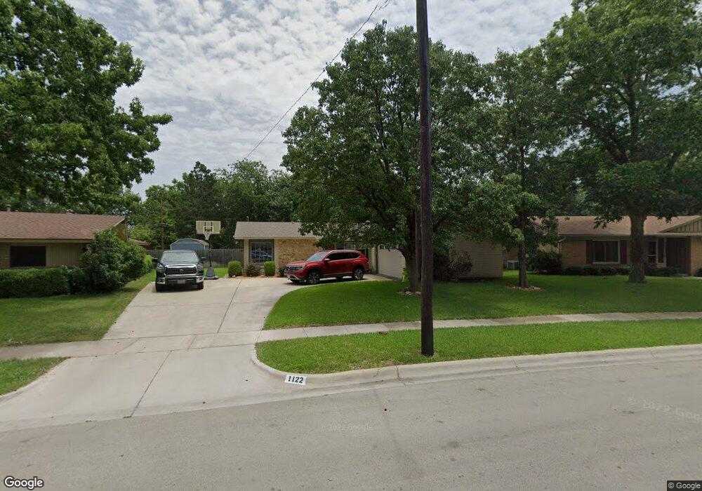
1122 Bellemead Dr Denton, TX 76201
Rayzor Ranch NeighborhoodEstimated Value: $334,769 - $345,000
3
Beds
2
Baths
1,880
Sq Ft
$181/Sq Ft
Est. Value
About This Home
This home is located at 1122 Bellemead Dr, Denton, TX 76201 and is currently estimated at $339,942, approximately $180 per square foot. 1122 Bellemead Dr is a home located in Denton County with nearby schools including Newton Rayzor Elementary School, Calhoun Middle School, and Denton High School.
Ownership History
Date
Name
Owned For
Owner Type
Purchase Details
Closed on
Jun 11, 1997
Sold by
Hargrove Myron D and Hargrove Virginia L
Bought by
Jacobson Steven E and Jacobson Cindy D
Current Estimated Value
Purchase Details
Closed on
Feb 24, 1994
Sold by
Sexton Billy C
Bought by
Jacobson Steven and Jacobson Cindy D
Home Financials for this Owner
Home Financials are based on the most recent Mortgage that was taken out on this home.
Original Mortgage
$48,000
Interest Rate
6.95%
Create a Home Valuation Report for This Property
The Home Valuation Report is an in-depth analysis detailing your home's value as well as a comparison with similar homes in the area
Home Values in the Area
Average Home Value in this Area
Purchase History
| Date | Buyer | Sale Price | Title Company |
|---|---|---|---|
| Jacobson Steven E | -- | -- | |
| Jacobson Steven | -- | First American Title Ins |
Source: Public Records
Mortgage History
| Date | Status | Borrower | Loan Amount |
|---|---|---|---|
| Previous Owner | Jacobson Steven | $48,000 |
Source: Public Records
Tax History Compared to Growth
Tax History
| Year | Tax Paid | Tax Assessment Tax Assessment Total Assessment is a certain percentage of the fair market value that is determined by local assessors to be the total taxable value of land and additions on the property. | Land | Improvement |
|---|---|---|---|---|
| 2025 | $3,070 | $243,064 | $127,494 | $204,506 |
| 2024 | $4,265 | $220,967 | $0 | $0 |
| 2023 | $2,569 | $197,230 | $120,761 | $164,239 |
| 2022 | $3,806 | $179,300 | $59,466 | $138,534 |
| 2021 | $3,624 | $163,000 | $37,166 | $125,834 |
| 2020 | $3,680 | $161,000 | $37,166 | $123,834 |
| 2019 | $3,788 | $158,771 | $37,166 | $122,834 |
| 2018 | $3,487 | $144,337 | $37,166 | $107,834 |
| 2017 | $3,243 | $131,215 | $37,166 | $100,209 |
| 2016 | $2,753 | $119,286 | $22,300 | $100,586 |
| 2015 | $2,796 | $108,442 | $22,300 | $86,142 |
| 2014 | $2,796 | $122,367 | $46,893 | $78,688 |
| 2013 | -- | $111,243 | $31,653 | $79,590 |
Source: Public Records
Map
Nearby Homes
- 1200 Thomas St
- 1014 Hillcrest St
- 1027 Stanley St
- 910 Stanley St Unit 3
- 910 Stanley St Unit 5
- 910 Stanley St Unit 1
- 910 Stanley St Unit 2
- 910 Stanley St Unit 6
- 1813 Crescent St
- 1716 Cordell St
- 419 Marietta St
- 2230 Alamo Place
- 1509 Egan St
- 2044 W Oak St
- 1319 Tulane Dr
- 2109 Malone St
- 321 Fry St
- 1007 Westway St
- 1115 Egan St
- 913 Cordell St
- 1118 Bellemead Dr
- 1127 Hillcrest St
- 1127 Hillcrest St Unit ADU
- 1200 Bellemead Dr
- 1119 Hillcrest St
- 1129 Hillcrest St
- 1114 Bellemead Dr
- 1113 Hillcrest St
- 1119 Bellemead Dr
- 1201 Hillcrest St
- 1206 Bellemead Dr
- 1201 Bellemead Dr
- 1107 Hillcrest St
- 1108 Bellemead Dr
- 1205 Hillcrest St
- 1210 Bellemead Dr
- 1125 Bellemead Dr
- 1207 Bellemead Dr
- 1105 Bellemead Dr
- 1209 Hillcrest St