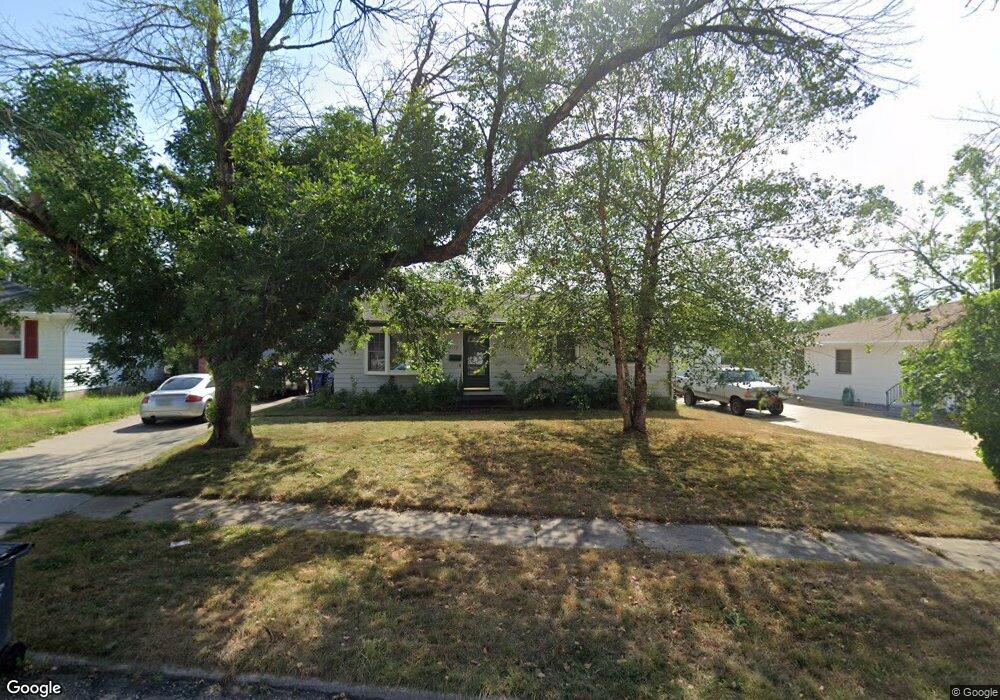
1122 Brockman Dr SE Cedar Rapids, IA 52403
Estimated Value: $174,000 - $195,000
3
Beds
2
Baths
960
Sq Ft
$189/Sq Ft
Est. Value
About This Home
This home is located at 1122 Brockman Dr SE, Cedar Rapids, IA 52403 and is currently estimated at $181,143, approximately $188 per square foot. 1122 Brockman Dr SE is a home located in Linn County with nearby schools including Erskine Elementary School, McKinley STEAM Academy, and George Washington High School.
Ownership History
Date
Name
Owned For
Owner Type
Purchase Details
Closed on
Jun 13, 2005
Sold by
Klinger Mary M and Klinger Rick W
Bought by
Mcneese Dawn L and Goldsmith Michael J
Current Estimated Value
Home Financials for this Owner
Home Financials are based on the most recent Mortgage that was taken out on this home.
Original Mortgage
$111,617
Outstanding Balance
$58,683
Interest Rate
5.87%
Mortgage Type
FHA
Estimated Equity
$122,460
Create a Home Valuation Report for This Property
The Home Valuation Report is an in-depth analysis detailing your home's value as well as a comparison with similar homes in the area
Home Values in the Area
Average Home Value in this Area
Purchase History
| Date | Buyer | Sale Price | Title Company |
|---|---|---|---|
| Mcneese Dawn L | $112,000 | -- |
Source: Public Records
Mortgage History
| Date | Status | Borrower | Loan Amount |
|---|---|---|---|
| Open | Mcneese Dawn L | $111,617 |
Source: Public Records
Tax History Compared to Growth
Tax History
| Year | Tax Paid | Tax Assessment Tax Assessment Total Assessment is a certain percentage of the fair market value that is determined by local assessors to be the total taxable value of land and additions on the property. | Land | Improvement |
|---|---|---|---|---|
| 2025 | $2,440 | $172,300 | $36,400 | $135,900 |
| 2024 | $2,564 | $160,700 | $36,400 | $124,300 |
| 2023 | $2,564 | $148,400 | $33,100 | $115,300 |
| 2022 | $333 | $130,400 | $29,800 | $100,600 |
| 2021 | $2,414 | $125,300 | $29,800 | $95,500 |
| 2020 | $2,414 | $118,000 | $23,200 | $94,800 |
| 2019 | $2,254 | $113,100 | $23,200 | $89,900 |
| 2018 | $2,086 | $113,100 | $23,200 | $89,900 |
| 2017 | $2,197 | $105,200 | $23,200 | $82,000 |
| 2016 | $2,197 | $103,400 | $23,200 | $80,200 |
| 2015 | $2,233 | $104,928 | $23,152 | $81,776 |
| 2014 | $2,048 | $104,928 | $23,152 | $81,776 |
| 2013 | $2,000 | $104,928 | $23,152 | $81,776 |
Source: Public Records
Map
Nearby Homes
- 1111 Brockman Dr SE
- 1241 38th St SE
- 1013 36th St SE
- 1401 Harold Dr SE
- 3630 Mt Vernon Rd SE Unit 6
- TBD 42nd St SE
- 3600 Bel Air Dr SE
- 1331 34th St SE
- 707 40th St SE
- 1310 42nd St SE
- 1310 42nd St SE Unit LotWP001
- 3510 Pioneer Ave SE
- 1425 42nd St SE
- 3535 Pioneer Ave SE
- 654 34th St SE
- Tbd 42nd St SE
- 651 34th St SE
- 811 E Post Rd SE
- 705 E Post Rd SE Unit 1
- Tbd 42nd St SE
- 1200 Brockman Dr SE
- 1118 Brockman Dr SE
- 1123 38th St SE
- 1112 Brockman Dr SE
- 1201 38th St SE
- 1117 38th St SE
- 1209 38th St SE
- 1123 Brockman Dr SE
- 1111 38th St SE
- 1108 Brockman Dr SE
- 1117 Brockman Dr SE
- 1201 Brockman Dr SE
- 1215 38th St SE
- 1209 Brockman Dr SE
- 1107 38th St SE
- 1104 Brockman Dr SE
- 1215 Brockman Dr SE
- 1221 38th St SE
- 1107 Brockman Dr SE
- 1105 38th St SE