1122 Herron Rd Martin, GA 30557
Estimated Value: $248,000 - $372,042
2
Beds
2
Baths
1,498
Sq Ft
$204/Sq Ft
Est. Value
About This Home
This home is located at 1122 Herron Rd, Martin, GA 30557 and is currently estimated at $305,261, approximately $203 per square foot. 1122 Herron Rd is a home located in Franklin County with nearby schools including Franklin County High School.
Ownership History
Date
Name
Owned For
Owner Type
Purchase Details
Closed on
Jul 17, 2014
Sold by
Thomas Jack Neal
Bought by
Walker Roger B
Current Estimated Value
Home Financials for this Owner
Home Financials are based on the most recent Mortgage that was taken out on this home.
Original Mortgage
$88,369
Outstanding Balance
$67,120
Interest Rate
4.24%
Mortgage Type
FHA
Estimated Equity
$238,141
Purchase Details
Closed on
Feb 15, 2008
Sold by
Thomas James Arnold
Bought by
Thomas Jack Neal and Thomas Jackie B
Purchase Details
Closed on
Jan 27, 1998
Bought by
Walker Roger Bradley
Create a Home Valuation Report for This Property
The Home Valuation Report is an in-depth analysis detailing your home's value as well as a comparison with similar homes in the area
Purchase History
| Date | Buyer | Sale Price | Title Company |
|---|---|---|---|
| Walker Roger B | $90,000 | -- | |
| Thomas Jack Neal | $50,000 | -- | |
| Thomas James Arnold | -- | -- | |
| Walker Roger Bradley | $3,500 | -- |
Source: Public Records
Mortgage History
| Date | Status | Borrower | Loan Amount |
|---|---|---|---|
| Open | Walker Roger B | $88,369 |
Source: Public Records
Tax History
| Year | Tax Paid | Tax Assessment Tax Assessment Total Assessment is a certain percentage of the fair market value that is determined by local assessors to be the total taxable value of land and additions on the property. | Land | Improvement |
|---|---|---|---|---|
| 2025 | $1,808 | $118,289 | $52,370 | $65,919 |
| 2024 | $1,293 | $76,368 | $31,379 | $44,989 |
| 2023 | $1,139 | $63,987 | $28,685 | $35,302 |
| 2022 | $1,044 | $56,516 | $24,138 | $32,378 |
| 2021 | $1,021 | $53,291 | $24,138 | $29,153 |
| 2020 | $904 | $48,832 | $24,138 | $24,694 |
| 2019 | $872 | $48,832 | $24,138 | $24,694 |
| 2018 | $776 | $41,556 | $19,730 | $21,826 |
| 2017 | $760 | $40,014 | $19,730 | $20,284 |
| 2016 | $718 | $37,535 | $19,730 | $17,805 |
| 2015 | -- | $37,679 | $0 | $0 |
| 2014 | -- | $26,274 | $13,574 | $12,701 |
| 2013 | -- | $26,533 | $13,573 | $12,960 |
Source: Public Records
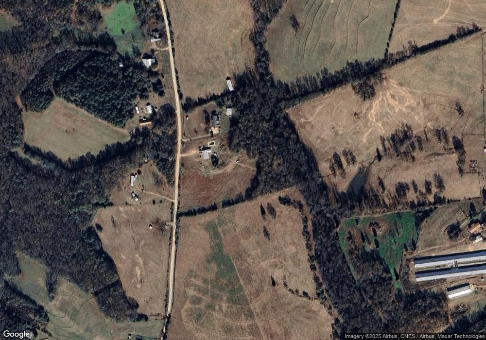
Map
Nearby Homes
- 3052 Highway 145
- 1429 Crumps Bridge Rd
- 61 Highway 145
- 740 Broad River Church Rd
- 740 Broad River Church Rd Tract C
- 740 Broad River Church Rd Tract D
- 740 Broad River Church Rd Tract F
- 740 Broad River Church Rd Tract B
- 2007 N Akins Bridge Rd
- 653 Dortch Rd
- 771 Dortch Rd
- 883 Dortch Rd
- 102 Broad River Road Lot: 6
- 101 Broad River Rd Lot: 7
- 0 Holcomb North Dr Unit 10731324
- 568 Hunt Rd
- 0 Hwy 17 Unit 26184958
- 154 Eastanollee Rd
- 219 Eastanollee Rd
- 515 Hulsey Rd
- 1144 Herron Rd
- 1271 Herron Rd
- 1061 Herron Rd
- 1333 Herron Rd
- 00 Herron Rd
- 861 Herron Rd
- 747 Herron Rd
- 1460 Herron Rd
- 3245 Toms Creek Rd
- 3375 Toms Creek Rd
- 3631 Toms Creek Rd
- 3481 Toms Creek Rd
- 3866 Toms Creek Rd
- 133 Herron Road Extension
- 815 Herron Rd
- 3555 Toms Creek Rd
- 170 N Canal Bridge Rd
- 3266 Toms Creek Rd
- 360 N Canal Bridge Rd
- 3755 Toms Creek Rd
Your Personal Tour Guide
Ask me questions while you tour the home.