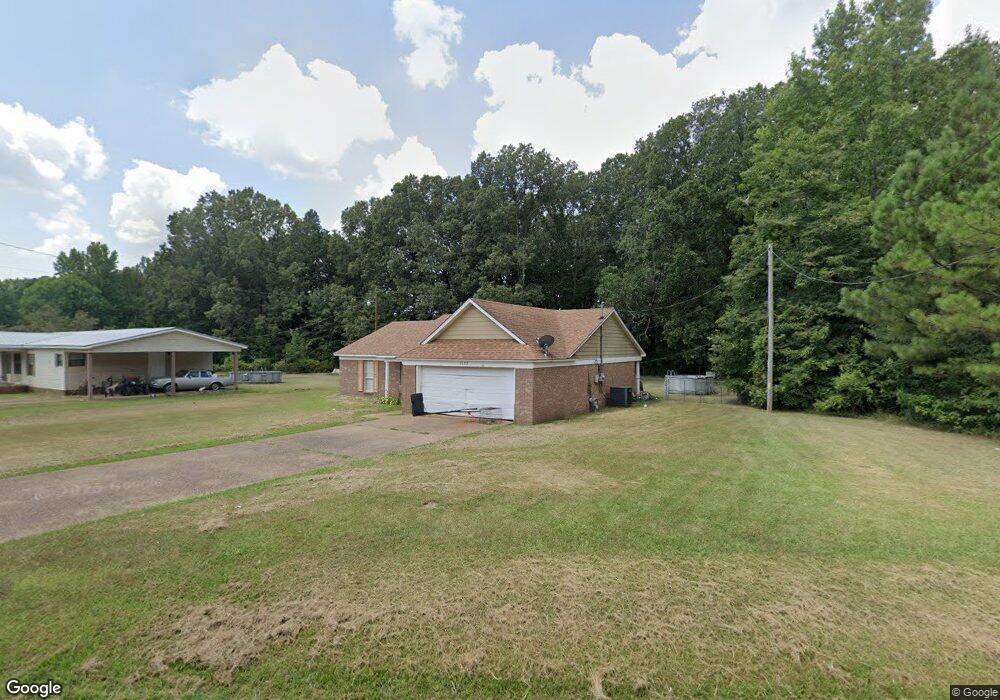
1122 Rolling Hills Dr New Albany, MI 38652
Estimated Value: $155,000 - $278,000
3
Beds
2
Baths
1,308
Sq Ft
$158/Sq Ft
Est. Value
About This Home
This home is located at 1122 Rolling Hills Dr, New Albany, MI 38652 and is currently estimated at $206,866, approximately $158 per square foot. 1122 Rolling Hills Dr is a home located in Union County with nearby schools including New Albany Elementary School, New Albany/S.Tippah/Union County Alternative School, and New Albany Middle School.
Ownership History
Date
Name
Owned For
Owner Type
Purchase Details
Closed on
Aug 16, 2018
Sold by
Lipsey Cedric Tramaine and Lipsey Georgina
Bought by
Frazier Debbie A
Current Estimated Value
Home Financials for this Owner
Home Financials are based on the most recent Mortgage that was taken out on this home.
Original Mortgage
$117,826
Outstanding Balance
$104,459
Interest Rate
5.5%
Mortgage Type
FHA
Estimated Equity
$102,407
Purchase Details
Closed on
Feb 18, 2005
Sold by
Creative Living Llc
Bought by
Lipsey Cedric Tramaine and Lipsey Georgina
Create a Home Valuation Report for This Property
The Home Valuation Report is an in-depth analysis detailing your home's value as well as a comparison with similar homes in the area
Home Values in the Area
Average Home Value in this Area
Purchase History
| Date | Buyer | Sale Price | Title Company |
|---|---|---|---|
| Frazier Debbie A | -- | None Available | |
| Lipsey Cedric Tramaine | -- | -- |
Source: Public Records
Mortgage History
| Date | Status | Borrower | Loan Amount |
|---|---|---|---|
| Open | Frazier Debbie A | $117,826 |
Source: Public Records
Tax History Compared to Growth
Tax History
| Year | Tax Paid | Tax Assessment Tax Assessment Total Assessment is a certain percentage of the fair market value that is determined by local assessors to be the total taxable value of land and additions on the property. | Land | Improvement |
|---|---|---|---|---|
| 2024 | $995 | $9,046 | $0 | $0 |
| 2023 | $999 | $9,046 | $0 | $0 |
| 2022 | $764 | $7,342 | $0 | $0 |
| 2021 | $762 | $7,582 | $0 | $0 |
| 2020 | $762 | $7,582 | $0 | $0 |
| 2019 | $762 | $7,582 | $0 | $0 |
| 2018 | $716 | $7,167 | $0 | $0 |
| 2017 | $681 | $7,116 | $0 | $0 |
| 2016 | $649 | $7,116 | $0 | $0 |
| 2015 | -- | $7,116 | $0 | $0 |
| 2014 | -- | $6,793 | $0 | $0 |
Source: Public Records
Map
Nearby Homes
- Lot 48 Rolling Hills Dr
- Lot 49 Rolling Hills Dr
- 931 Reed St
- 0 Lot 6 Sam T Barkley Dr
- 0 Lot 5 Sam T Barkley Dr
- 0 Lot 4 Sam T Barkley Dr
- 0 Lot 8 Sam T Barkley Dr
- 0 Lot 3 Sam T Barkley Dr
- 1315 Moss Hill Dr
- 0 Lot 2 Sam Tbarkley Dr Unit 23-1317
- 1329 Moss Hill Dr
- 1509 Allison Cir
- 816 W Bankhead St
- 559 County Road 75
- 0 Coulter Dr Denton Rd Unit 24-3689
- 621 Glendale Rd
- 301 Starlyn Ave
- 0 Coulter Cove + - 52 Ac
- 403 Bristol Ave
- 0 W Hwy 178
- 1122 Rolling Hills Dr
- 1118 Rolling Hills Dr
- 1121 Rolling Hills Dr
- 1116 Rolling Hills Dr
- 1135 Rolling Hills Dr
- 1119 Rolling Hills Dr
- 1117 Rolling Hills Dr
- 1115 Rolling Hills Dr
- 1112 Rolling Hills Dr
- 1112 Rolling Hills Dr
- 1113 Rolling Hills Dr
- 1113 Rolling Hills Dr
- 1110 Rolling Hills Dr
- 1110 Rolling Hills Dr
- 1111 Rolling Hills Dr
- 1111 Rolling Hills Dr
- 1108 Rolling Hills Dr
- 1109 Rolling Hills Dr
- 1107 Rolling Hills Dr
- 1104 Rolling Hills Dr