11220 Elliot Rd Benton, AR 72019
Estimated Value: $159,659 - $290,000
Studio
2
Baths
1,284
Sq Ft
$156/Sq Ft
Est. Value
About This Home
This home is located at 11220 Elliot Rd, Benton, AR 72019 and is currently estimated at $199,915, approximately $155 per square foot. 11220 Elliot Rd is a home located in Saline County with nearby schools including Ringgold Elementary School, Benton Middle School, and Benton Junior High School.
Ownership History
Date
Name
Owned For
Owner Type
Purchase Details
Closed on
Jul 14, 2008
Sold by
Walbecq Jeffery J and Walbecq Mary S
Bought by
Ortega Jason and Harrison James Thomas
Current Estimated Value
Home Financials for this Owner
Home Financials are based on the most recent Mortgage that was taken out on this home.
Original Mortgage
$81,900
Outstanding Balance
$52,890
Interest Rate
6.09%
Mortgage Type
New Conventional
Estimated Equity
$147,025
Purchase Details
Closed on
Sep 12, 2000
Bought by
Mills
Purchase Details
Closed on
Apr 12, 2000
Bought by
Mills
Purchase Details
Closed on
Mar 3, 1998
Bought by
Mills W
Purchase Details
Closed on
Oct 30, 1996
Bought by
Mills
Purchase Details
Closed on
Dec 13, 1993
Bought by
Robbins
Purchase Details
Closed on
Feb 1, 1993
Bought by
Robin Off
Create a Home Valuation Report for This Property
The Home Valuation Report is an in-depth analysis detailing your home's value as well as a comparison with similar homes in the area
Purchase History
| Date | Buyer | Sale Price | Title Company |
|---|---|---|---|
| Ortega Jason | $91,000 | None Available | |
| Mills | $80,000 | -- | |
| Mills | -- | -- | |
| Mills W | -- | -- | |
| Mills | $65,000 | -- | |
| Robbins | -- | -- | |
| Robin Off | -- | -- |
Source: Public Records
Mortgage History
| Date | Status | Borrower | Loan Amount |
|---|---|---|---|
| Open | Ortega Jason | $81,900 |
Source: Public Records
Tax History
| Year | Tax Paid | Tax Assessment Tax Assessment Total Assessment is a certain percentage of the fair market value that is determined by local assessors to be the total taxable value of land and additions on the property. | Land | Improvement |
|---|---|---|---|---|
| 2025 | $1,026 | $19,883 | $5,780 | $14,103 |
| 2024 | $1,026 | $19,883 | $5,780 | $14,103 |
| 2023 | $1,121 | $19,883 | $5,780 | $14,103 |
| 2022 | $1,121 | $19,883 | $5,780 | $14,103 |
| 2021 | $1,068 | $18,860 | $3,400 | $15,460 |
| 2020 | $1,023 | $18,860 | $3,400 | $15,460 |
| 2019 | $1,023 | $18,860 | $3,400 | $15,460 |
| 2018 | $1,023 | $18,860 | $3,400 | $15,460 |
| 2017 | $1,023 | $18,860 | $3,400 | $15,460 |
| 2016 | $1,111 | $21,540 | $3,400 | $18,140 |
| 2015 | $1,161 | $21,540 | $3,400 | $18,140 |
| 2014 | $1,161 | $21,390 | $3,400 | $17,990 |
Source: Public Records
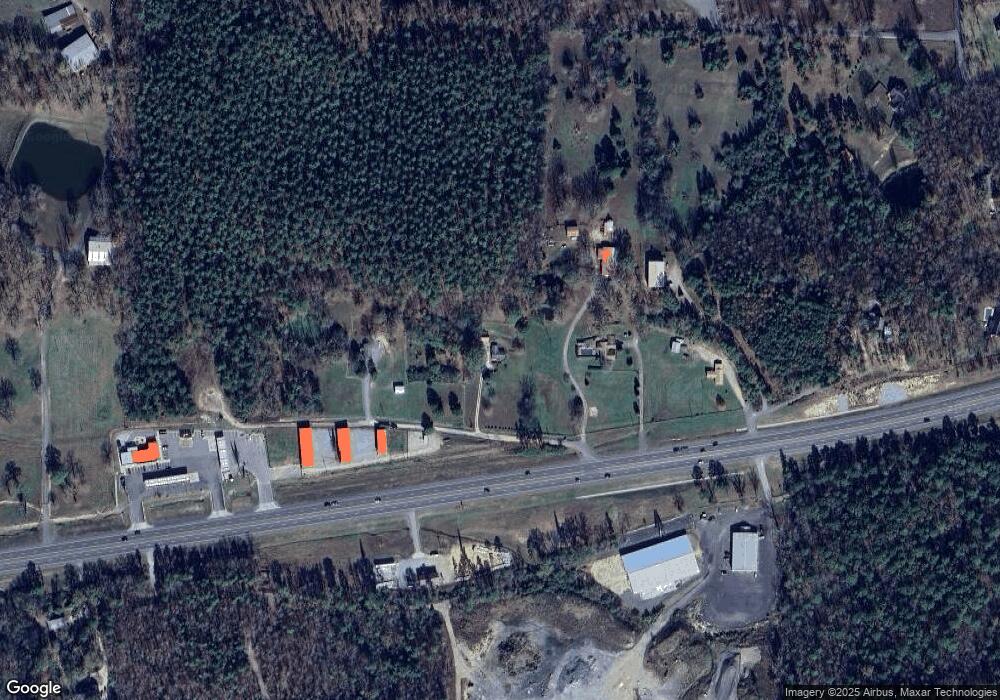
Map
Nearby Homes
- 7024 Hannah Ln
- 2550 Smith Ford Rd
- 2624 White Tail St
- 4093 Hampton Dr
- 2009 Berkshire Dr
- 8617 Pawnee Dr
- Exit 114 Interstate 30 Service Rd
- 9025 Diamond Ridge Dr
- 4133 Brody Crossing
- 107 Sawgrass Dr
- 105 Kapalua Cove
- 109 Riveria Cove
- 16059 Hwy 70
- 7000 Rolling Manor Dr
- 4638 Beaty Rd
- 5508 Santa Monica Dr
- 6649 Hollywood Ave
- 6641 Hollywood Ave
- 7801 Holy Ridge Cutoff
- 6634 Hollywood Ave
- 11100 Highway 70
- 11324 Elliot Rd
- 10910 Highway 70
- 10896 Highway 70
- 11209 Highway 70
- 11209 Hwy 70
- 10800 Highway 70
- 0 Highway 70 Unit 20010640
- 11405 High Point Rd
- 11009 High Point Rd
- 11009 High Point Rd
- 11111 High Point Rd
- 11111 High Point Rd
- 11483 High Point Rd
- 11595 Highway 70
- 11595 U S 70
- 11475 High Point Rd
- 11012 High Pointe Rd
- 11475 Highpoint Dr
- 0 High Point Dr Unit 16002813
Your Personal Tour Guide
Ask me questions while you tour the home.