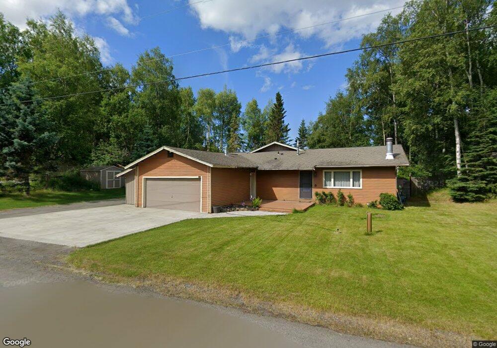
11220 Forest Dr Unit 2 Anchorage, AK 99516
Huffman-O'Malley NeighborhoodEstimated Value: $423,000 - $585,368
4
Beds
3
Baths
2,209
Sq Ft
$239/Sq Ft
Est. Value
About This Home
This home is located at 11220 Forest Dr Unit 2, Anchorage, AK 99516 and is currently estimated at $527,123, approximately $238 per square foot. 11220 Forest Dr Unit 2 is a home located in Anchorage Municipality with nearby schools including Bowman Elementary School, Hanshew Middle School, and Service High School.
Ownership History
Date
Name
Owned For
Owner Type
Purchase Details
Closed on
Dec 18, 2014
Sold by
Grant Russell E and Grant Debora S
Bought by
Grant Russell E and Grant Debora S
Current Estimated Value
Home Financials for this Owner
Home Financials are based on the most recent Mortgage that was taken out on this home.
Original Mortgage
$131,250
Interest Rate
4%
Mortgage Type
New Conventional
Create a Home Valuation Report for This Property
The Home Valuation Report is an in-depth analysis detailing your home's value as well as a comparison with similar homes in the area
Home Values in the Area
Average Home Value in this Area
Purchase History
| Date | Buyer | Sale Price | Title Company |
|---|---|---|---|
| Grant Russell E | -- | Auta |
Source: Public Records
Mortgage History
| Date | Status | Borrower | Loan Amount |
|---|---|---|---|
| Closed | Grant Russell E | $131,250 |
Source: Public Records
Tax History
| Year | Tax Paid | Tax Assessment Tax Assessment Total Assessment is a certain percentage of the fair market value that is determined by local assessors to be the total taxable value of land and additions on the property. | Land | Improvement |
|---|---|---|---|---|
| 2025 | $4,030 | $497,100 | $145,400 | $351,700 |
| 2024 | $4,030 | $474,600 | $137,900 | $336,700 |
| 2023 | $7,304 | $428,900 | $122,400 | $306,500 |
| 2022 | $6,086 | $411,400 | $122,400 | $289,000 |
| 2021 | $6,923 | $384,200 | $122,400 | $261,800 |
| 2020 | $5,455 | $371,200 | $122,400 | $248,800 |
| 2019 | $5,207 | $368,300 | $122,400 | $245,900 |
| 2018 | $5,440 | $381,700 | $140,600 | $241,100 |
| 2017 | $5,811 | $391,100 | $140,600 | $250,500 |
| 2016 | $4,989 | $405,200 | $140,600 | $264,600 |
| 2015 | $4,989 | $388,000 | $135,800 | $252,200 |
| 2014 | $4,989 | $373,600 | $130,900 | $242,700 |
Source: Public Records
Map
Nearby Homes
- 11501 Hawkins Ln
- 11205 Willene Dr
- 2640 E 112th Ave
- NHN Red Sky Cir
- 11135 Red Sky Cir
- 11418 Moonrise Ridge Place Unit 19
- 11254 Tulin Park Loop
- 10996 Sky Ridge Dr
- 1962 Commodore Dr
- 2440 Cleo Ave
- 8000 Independence Park Dr
- 1900-1941 Marthas Vineyard Cir
- 12113 Rolling Meadow Cir
- 10229 Jamestown Dr Unit 605
- 1105 E Klatt Rd
- 1100 E 112th Ave Unit 2
- 10282 Jamestown Dr Unit 5A
- 10330 Arborvitae Dr
- 11314 Cheri Ren Cir
- 12314 Timberwood Cir
- 11200 Forest Dr
- 11300 Reader Rd
- 11231 Hawkins Ln
- 11221 Forest Dr
- 11211 Forest Dr
- 2101 Mona Ave
- 11301 Forest Dr
- 11320 Polar Dr
- 0000 Reader Rd
- 11201 Forest Dr
- 11230 Hawkins Ln
- 11322 Forest Dr
- 11400 Reader Rd
- 11300 Hawkins Ln
- 11310 Polar Dr
- 11342 Forest Dr
- 11130 Forest Dr
- 11405 Hawkins Ln
- 11131 Forest Dr
- 11300 Polar Dr
Your Personal Tour Guide
Ask me questions while you tour the home.