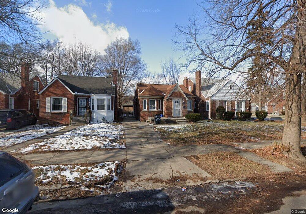
11221 Rossiter St Detroit, MI 48224
Denby NeighborhoodEstimated Value: $56,000 - $81,633
--
Bed
1
Bath
1,174
Sq Ft
$61/Sq Ft
Est. Value
About This Home
This home is located at 11221 Rossiter St, Detroit, MI 48224 and is currently estimated at $71,158, approximately $60 per square foot. 11221 Rossiter St is a home located in Wayne County with nearby schools including Wayne Elementary School, Edward 'Duke' Ellington Conservatory of Music and Art, and Charles L. Spain Elementary-Middle School.
Ownership History
Date
Name
Owned For
Owner Type
Purchase Details
Closed on
Nov 22, 2016
Sold by
The Detroit Land Bank Authority
Bought by
Alexander Phyllis
Current Estimated Value
Purchase Details
Closed on
Jan 6, 2015
Sold by
Treasurer Of The Charter County Of Wayne
Bought by
Detroit Land Bank Authority
Purchase Details
Closed on
Dec 14, 2010
Sold by
Wojtowicz Raymond J
Bought by
The Angel Group Llc
Purchase Details
Closed on
Apr 23, 2003
Sold by
Whitfield Florence
Bought by
Wells Fargo Home Mortgage Inc and Norwest Mortgage Inc
Create a Home Valuation Report for This Property
The Home Valuation Report is an in-depth analysis detailing your home's value as well as a comparison with similar homes in the area
Home Values in the Area
Average Home Value in this Area
Purchase History
| Date | Buyer | Sale Price | Title Company |
|---|---|---|---|
| Alexander Phyllis | $1,100 | None Available | |
| Detroit Land Bank Authority | -- | None Available | |
| The Angel Group Llc | $3,000 | None Available | |
| Wells Fargo Home Mortgage Inc | $56,070 | -- |
Source: Public Records
Tax History Compared to Growth
Tax History
| Year | Tax Paid | Tax Assessment Tax Assessment Total Assessment is a certain percentage of the fair market value that is determined by local assessors to be the total taxable value of land and additions on the property. | Land | Improvement |
|---|---|---|---|---|
| 2025 | $1,325 | $36,700 | $0 | $0 |
| 2024 | $1,325 | $34,000 | $0 | $0 |
| 2023 | $1,286 | $27,400 | $0 | $0 |
| 2022 | $1,371 | $22,300 | $0 | $0 |
| 2021 | $1,334 | $18,000 | $0 | $0 |
| 2020 | $1,333 | $16,800 | $0 | $0 |
| 2019 | $1,313 | $14,600 | $0 | $0 |
| 2018 | $1,152 | $12,200 | $0 | $0 |
| 2017 | $220 | $11,600 | $0 | $0 |
| 2016 | $240 | $9,900 | $0 | $0 |
| 2015 | $476 | $9,900 | $0 | $0 |
| 2013 | $461 | $11,015 | $0 | $0 |
| 2010 | -- | $16,149 | $1,183 | $14,966 |
Source: Public Records
Map
Nearby Homes
- 11320 Wayburn St
- 11059 Lakepointe St
- 11382 Rossiter St
- 11009 Roxbury St
- 10947 Roxbury St
- 11528 Wayburn St
- 11110 Wayburn St
- 11010 Rossiter St
- 11540 Wayburn St
- 10897 Lakepointe St
- 10773 Beaconsfield St
- 11225 Roxbury St
- 11583 Whitehill St
- 11235 Roxbury St
- 10811 Roxbury St
- 11521 Whitehill St
- 11676 Laing St
- 11632 Laing St
- 10597 Beaconsfield St
- 10851 Nottingham Rd
- 11215 Rossiter St
- 11229 Rossiter St
- 11235 Rossiter St
- 11207 Rossiter St
- 11199 Rossiter St
- 11312 Wayburn St
- 11326 Wayburn St
- 11193 Rossiter St
- 11306 Wayburn St
- 11301 Rossiter St
- 11187 Rossiter St
- 11292 Wayburn St
- 11311 Rossiter St
- 11175 Rossiter St
- 11286 Wayburn St
- 11400 Wayburn St
- 11300 Rossiter St
- 11321 Rossiter St
- 11278 Wayburn St
- 11410 Wayburn St