11225 Groves Rd Unit E New Kent, VA 23124
Estimated Value: $428,000 - $488,434
3
Beds
3
Baths
2,016
Sq Ft
$229/Sq Ft
Est. Value
About This Home
This home is located at 11225 Groves Rd Unit E, New Kent, VA 23124 and is currently estimated at $462,359, approximately $229 per square foot. 11225 Groves Rd Unit E is a home located in New Kent County with nearby schools including New Kent High School.
Ownership History
Date
Name
Owned For
Owner Type
Purchase Details
Closed on
Jan 5, 2009
Sold by
Berding Mark A
Bought by
Morris Michael Anthony
Current Estimated Value
Home Financials for this Owner
Home Financials are based on the most recent Mortgage that was taken out on this home.
Original Mortgage
$227,950
Outstanding Balance
$150,863
Interest Rate
6.08%
Mortgage Type
New Conventional
Estimated Equity
$311,496
Create a Home Valuation Report for This Property
The Home Valuation Report is an in-depth analysis detailing your home's value as well as a comparison with similar homes in the area
Home Values in the Area
Average Home Value in this Area
Purchase History
| Date | Buyer | Sale Price | Title Company |
|---|---|---|---|
| Morris Michael Anthony | $239,950 | -- |
Source: Public Records
Mortgage History
| Date | Status | Borrower | Loan Amount |
|---|---|---|---|
| Open | Morris Michael Anthony | $227,950 |
Source: Public Records
Tax History Compared to Growth
Tax History
| Year | Tax Paid | Tax Assessment Tax Assessment Total Assessment is a certain percentage of the fair market value that is determined by local assessors to be the total taxable value of land and additions on the property. | Land | Improvement |
|---|---|---|---|---|
| 2025 | $2,838 | $473,000 | $144,200 | $328,800 |
| 2024 | $2,791 | $473,000 | $144,200 | $328,800 |
| 2023 | $2,642 | $394,400 | $92,200 | $302,200 |
| 2022 | $2,642 | $394,400 | $92,200 | $302,200 |
| 2021 | $2,361 | $298,900 | $83,800 | $215,100 |
| 2020 | $2,361 | $298,900 | $83,800 | $215,100 |
| 2019 | $2,000 | $243,900 | $69,200 | $174,700 |
| 2018 | $2,000 | $243,900 | $69,200 | $174,700 |
| 2017 | $1,682 | $202,700 | $66,200 | $136,500 |
| 2016 | $1,682 | $202,700 | $66,200 | $136,500 |
| 2015 | $1,549 | $184,400 | $58,400 | $126,000 |
| 2014 | -- | $184,400 | $58,400 | $126,000 |
Source: Public Records
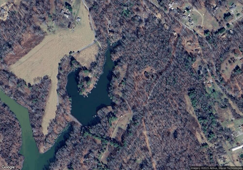
Map
Nearby Homes
- 6329 Orchard Rd
- 5210 Hopewell Rd Unit B
- 5+ Macon Ln
- 20 AC Hopewell Rd
- 10565 Continental Rd
- 6085 Antler Hill Ct
- 5921 Bushnell Dr
- Drexel Plan at Greenwood Estates
- Drexel Plan at Falling Creek - The Estates at Falling Creek
- Brevard Plan at Falling Creek - The Estates at Falling Creek
- Asheboro Plan at Greenwood Estates
- Moseley Plan at Falling Creek - The Townes at Falling Creek
- Cypress Plan at Falling Creek - The Estates at Falling Creek
- Oxford Plan at Falling Creek - The Estates at Falling Creek
- Raleigh Plan at Falling Creek - The Estates at Falling Creek
- Avery Plan at Falling Creek - The Estates at Falling Creek
- Edgefield Plan at Greenwood Estates
- Ellerbe Plan at Falling Creek - The Estates at Falling Creek
- Davidson Plan at Falling Creek - The Estates at Falling Creek
- Marlston Plan at Falling Creek - The Townes at Falling Creek
- 11225 Groves Rd
- 0 Steel Trap Rd
- 11470 Laurel Rd
- 11255 Groves Rd Unit A
- 11445 Groves Rd Unit G
- 11541 Groves Rd Unit D
- 11300 Groves Rd Unit B
- 6001 Hopewell Rd Unit F
- 6035 Hopewell Rd
- 6045 Hopewell Rd
- 6025 Hopewell Rd
- 6057 Hopewell Rd
- 11300 Laurel Rd
- 6117 Hopewell Rd
- 5901 Hopewell Rd
- 6151 Hopewell Rd Unit B
- 6030 Hopewell Rd
- 0 Laurel Rd
- 000 Laurel Rd
- 6010 Hopewell Rd Unit A