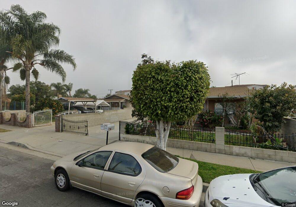
11226 Laurel Ave Whittier, CA 90605
South Whittier NeighborhoodEstimated Value: $992,000 - $1,149,000
5
Beds
3
Baths
2,567
Sq Ft
$425/Sq Ft
Est. Value
About This Home
This home is located at 11226 Laurel Ave, Whittier, CA 90605 and is currently estimated at $1,089,796, approximately $424 per square foot. 11226 Laurel Ave is a home located in Los Angeles County with nearby schools including California High School, Carden Academy of Whittier, and St. Gregory The Great.
Ownership History
Date
Name
Owned For
Owner Type
Purchase Details
Closed on
Jul 9, 2003
Sold by
Ramos Jose L
Bought by
Ramos Jose L and Ramos Martha Leticia
Current Estimated Value
Home Financials for this Owner
Home Financials are based on the most recent Mortgage that was taken out on this home.
Original Mortgage
$217,500
Interest Rate
5.94%
Mortgage Type
Purchase Money Mortgage
Create a Home Valuation Report for This Property
The Home Valuation Report is an in-depth analysis detailing your home's value as well as a comparison with similar homes in the area
Home Values in the Area
Average Home Value in this Area
Purchase History
| Date | Buyer | Sale Price | Title Company |
|---|---|---|---|
| Ramos Jose L | -- | -- | |
| Ramos Jose L | -- | -- |
Source: Public Records
Mortgage History
| Date | Status | Borrower | Loan Amount |
|---|---|---|---|
| Previous Owner | Ramos Jose L | $217,500 |
Source: Public Records
Tax History Compared to Growth
Tax History
| Year | Tax Paid | Tax Assessment Tax Assessment Total Assessment is a certain percentage of the fair market value that is determined by local assessors to be the total taxable value of land and additions on the property. | Land | Improvement |
|---|---|---|---|---|
| 2025 | $8,884 | $687,376 | $296,046 | $391,330 |
| 2024 | $8,884 | $673,899 | $290,242 | $383,657 |
| 2023 | $8,447 | $660,686 | $284,551 | $376,135 |
| 2022 | $8,510 | $647,732 | $278,972 | $368,760 |
| 2021 | $8,334 | $635,032 | $273,502 | $361,530 |
| 2020 | $8,248 | $628,521 | $270,698 | $357,823 |
| 2019 | $8,194 | $616,198 | $265,391 | $350,807 |
| 2018 | $7,755 | $604,117 | $260,188 | $343,929 |
| 2016 | $7,372 | $580,661 | $250,086 | $330,575 |
| 2015 | $7,189 | $571,940 | $246,330 | $325,610 |
| 2014 | $7,123 | $560,737 | $241,505 | $319,232 |
Source: Public Records
Map
Nearby Homes
- 11518 Fidel Ave
- 11428 Painter Ave
- 13272 Beaty Ave
- 10849 Inez St
- 13538 Lukay St
- 11828 Louis Ave
- 11116 Leland Ave
- 13481 Meyer Rd
- 11820 Painter Ave
- 13531 Utica St
- 11426 Newgate Ave
- 13513 Leffingwell Rd
- 13752 Bentongrove Dr
- 13213 Leffingwell Rd
- 10745 Victoria Ave Unit 4
- 10745 Victoria Ave Unit 6
- 10745 Victoria Ave
- 11102 Eagle Ln
- 11118 Bunker Ln
- 11531 Sunnybrook Ln
- 11230 Laurel Ave
- 11222 Laurel Ave
- 11218 Laurel Ave
- 11236 Laurel Ave
- 11210 Laurel Ave
- 11302 Laurel Ave Unit 1212
- 13312 Virginia Ave
- 11204 Laurel Ave
- 11213 Laurel Ave
- 11227 Laurel Ave
- 11223 Laurel Ave
- 11217 Laurel Ave
- 11235 Laurel Ave
- 11209 Laurel Ave
- 11312 Laurel Ave
- 11303 Laurel Ave
- 11203 Laurel Ave
- 11313 Laurel Ave
- 11307 Laurel Ave
- 13248 Virginia Ave