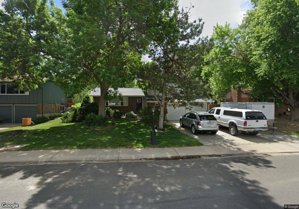
1123 Lefthand Dr Longmont, CO 80501
Southmoor NeighborhoodEstimated Value: $532,000 - $572,000
3
Beds
3
Baths
1,700
Sq Ft
$322/Sq Ft
Est. Value
About This Home
This home is located at 1123 Lefthand Dr, Longmont, CO 80501 and is currently estimated at $547,521, approximately $322 per square foot. 1123 Lefthand Dr is a home located in Boulder County with nearby schools including Burlington Elementary School, Sunset Middle School, and Niwot High School.
Ownership History
Date
Name
Owned For
Owner Type
Purchase Details
Closed on
Mar 29, 1991
Bought by
Laborde Daniel J and Laborde Madalene F
Current Estimated Value
Purchase Details
Closed on
Sep 6, 1985
Bought by
Laborde Daniel J and Laborde Madalene F
Purchase Details
Closed on
Nov 16, 1981
Bought by
Laborde Daniel J and Laborde Madalene F
Purchase Details
Closed on
Mar 10, 1980
Bought by
Laborde Daniel J and Laborde Madalene F
Create a Home Valuation Report for This Property
The Home Valuation Report is an in-depth analysis detailing your home's value as well as a comparison with similar homes in the area
Home Values in the Area
Average Home Value in this Area
Purchase History
| Date | Buyer | Sale Price | Title Company |
|---|---|---|---|
| Laborde Daniel J | $87,500 | -- | |
| Laborde Daniel J | $84,000 | -- | |
| Laborde Daniel J | $73,000 | -- | |
| Laborde Daniel J | $67,000 | -- |
Source: Public Records
Tax History Compared to Growth
Tax History
| Year | Tax Paid | Tax Assessment Tax Assessment Total Assessment is a certain percentage of the fair market value that is determined by local assessors to be the total taxable value of land and additions on the property. | Land | Improvement |
|---|---|---|---|---|
| 2025 | $2,175 | $30,051 | $12,663 | $17,388 |
| 2024 | $2,175 | $30,051 | $12,663 | $17,388 |
| 2023 | $2,146 | $29,440 | $15,779 | $17,346 |
| 2022 | $1,806 | $25,201 | $11,176 | $14,025 |
| 2021 | $1,829 | $25,926 | $11,497 | $14,429 |
| 2020 | $1,611 | $23,731 | $9,081 | $14,650 |
| 2019 | $1,585 | $23,731 | $9,081 | $14,650 |
| 2018 | $1,284 | $20,722 | $6,552 | $14,170 |
| 2017 | $1,267 | $22,909 | $7,244 | $15,665 |
| 2016 | $1,729 | $18,085 | $6,925 | $11,160 |
| 2015 | $1,647 | $16,310 | $5,492 | $10,818 |
| 2014 | $1,523 | $16,310 | $5,492 | $10,818 |
Source: Public Records
Map
Nearby Homes
- 1350 S Lincoln St
- 1435 Ashcroft Dr
- 1072 Kane Dr
- 1801 S Pratt Pkwy
- 1328 S Terry St
- 1327 Brookfield Dr
- 1343 S Coffman St
- 919 S Sherman St
- 9 Seattle Ln
- 1208 S Coffman St
- 1435 Missouri Ave
- 1028 Katy Ln
- 1456 Sepia Ave
- 1221 S Main St
- 832 S Bowen St
- 1518 Sepia Ave
- 1527 S Vivian St
- 802 Neon Forest Cir
- 922 S Coffman St
- 835 Kane Dr Unit E25
- 1129 Lefthand Dr
- 1117 Lefthand Dr
- 1135 Lefthand Dr
- 1111 Lefthand Dr
- 1124 Lefthand Dr
- 1118 Lefthand Dr
- 1130 Lefthand Dr
- 1141 Lefthand Dr
- 1108 Lefthand Dr
- 1136 Lefthand Dr
- 1105 Lefthand Dr
- 1135 Avon Ln
- 1131 Avon Ln
- 1147 Lefthand Dr
- 1300 Ashcroft Dr
- 1142 Lefthand Dr
- 1139 Avon Ln
- 1111 Missouri Ave
- 1113 Avon Ln
- 1119 Avon Ln