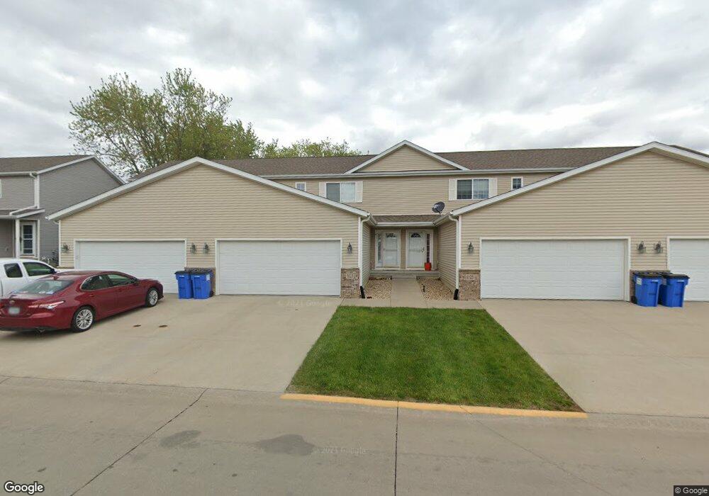
1123 Lois Ln Waterloo, IA 50702
Hurst NeighborhoodEstimated Value: $175,993 - $196,000
3
Beds
3
Baths
1,352
Sq Ft
$138/Sq Ft
Est. Value
About This Home
This home is located at 1123 Lois Ln, Waterloo, IA 50702 and is currently estimated at $185,998, approximately $137 per square foot. 1123 Lois Ln is a home located in Black Hawk County with nearby schools including Kittrell Elementary School, Hoover Middle School, and West High School.
Ownership History
Date
Name
Owned For
Owner Type
Purchase Details
Closed on
Feb 14, 2014
Sold by
Bailey Russell G and Banks Tammy D
Bought by
Chrismark Enterprises Llc
Current Estimated Value
Home Financials for this Owner
Home Financials are based on the most recent Mortgage that was taken out on this home.
Original Mortgage
$127,300
Outstanding Balance
$96,691
Interest Rate
4.55%
Mortgage Type
Future Advance Clause Open End Mortgage
Estimated Equity
$89,307
Purchase Details
Closed on
Apr 24, 2012
Sold by
Robson Homes Inc
Bought by
Bailey Russell G
Home Financials for this Owner
Home Financials are based on the most recent Mortgage that was taken out on this home.
Original Mortgage
$116,910
Interest Rate
4.25%
Mortgage Type
Assumption
Create a Home Valuation Report for This Property
The Home Valuation Report is an in-depth analysis detailing your home's value as well as a comparison with similar homes in the area
Home Values in the Area
Average Home Value in this Area
Purchase History
| Date | Buyer | Sale Price | Title Company |
|---|---|---|---|
| Chrismark Enterprises Llc | $134,000 | None Available | |
| Bailey Russell G | $130,000 | Black Hawk County Abstract C |
Source: Public Records
Mortgage History
| Date | Status | Borrower | Loan Amount |
|---|---|---|---|
| Open | Chrismark Enterprises Llc | $127,300 | |
| Previous Owner | Bailey Russell G | $116,910 |
Source: Public Records
Tax History Compared to Growth
Tax History
| Year | Tax Paid | Tax Assessment Tax Assessment Total Assessment is a certain percentage of the fair market value that is determined by local assessors to be the total taxable value of land and additions on the property. | Land | Improvement |
|---|---|---|---|---|
| 2025 | $3,284 | $172,310 | $8,630 | $163,680 |
| 2024 | $3,284 | $151,370 | $8,630 | $142,740 |
| 2023 | $3,020 | $151,370 | $8,630 | $142,740 |
| 2022 | $2,940 | $137,550 | $7,400 | $130,150 |
| 2021 | $2,952 | $137,550 | $7,400 | $130,150 |
| 2020 | $2,904 | $130,290 | $7,400 | $122,890 |
| 2019 | $2,904 | $130,290 | $7,400 | $122,890 |
| 2018 | $2,896 | $129,880 | $6,990 | $122,890 |
| 2017 | $2,982 | $129,880 | $6,990 | $122,890 |
| 2016 | $2,946 | $129,880 | $6,990 | $122,890 |
| 2015 | $2,946 | $129,880 | $6,990 | $122,890 |
| 2014 | $3,004 | $129,880 | $6,990 | $122,890 |
Source: Public Records
Map
Nearby Homes
- 3420 Crown Ct Unit 3420
- 3256 Hammond Ave
- 1124 Oleson Rd
- 1152 Wisner Dr
- 1445 Hammond Ave
- 3024 W 9th St
- 0 Alexandra Dr
- 3124 W 9th St
- 1714 Easton Ave
- 2547 W 9th St
- 1933 Plymouth Ave
- 1615 Darby Dr
- 1161 Easton Ave
- 2624 Manor St
- 611 E San Marnan Dr
- 1924 Locke Ave
- 1407 Hummingbird Cir
- Lot 7 Crossroads
- Lot 1 Crossroads Blvd
- Lot 4 Crossroads Blvd