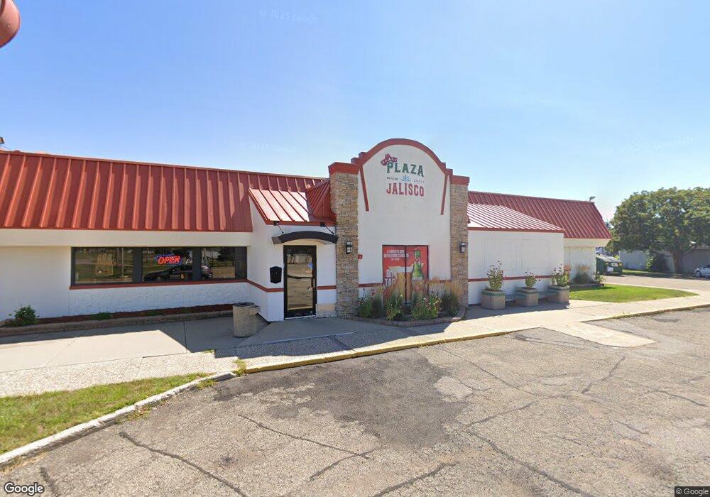
1123 Range St North Mankato, MN 56003
Estimated Value: $818,799
--
Bed
--
Bath
4,508
Sq Ft
$182/Sq Ft
Est. Value
About This Home
This home is located at 1123 Range St, North Mankato, MN 56003 and is currently estimated at $818,799, approximately $181 per square foot. 1123 Range St is a home located in Nicollet County with nearby schools including Monroe Elementary School, Dakota Meadows Middle School, and Mankato West Senior High School.
Ownership History
Date
Name
Owned For
Owner Type
Purchase Details
Closed on
Jun 30, 2022
Sold by
Delray North Mankato Associates Llp
Bought by
Ruiz & Rios Properties Llc
Current Estimated Value
Home Financials for this Owner
Home Financials are based on the most recent Mortgage that was taken out on this home.
Original Mortgage
$550,000
Outstanding Balance
$523,981
Interest Rate
5.25%
Mortgage Type
New Conventional
Estimated Equity
$294,818
Create a Home Valuation Report for This Property
The Home Valuation Report is an in-depth analysis detailing your home's value as well as a comparison with similar homes in the area
Home Values in the Area
Average Home Value in this Area
Purchase History
| Date | Buyer | Sale Price | Title Company |
|---|---|---|---|
| Ruiz & Rios Properties Llc | $750,000 | -- |
Source: Public Records
Mortgage History
| Date | Status | Borrower | Loan Amount |
|---|---|---|---|
| Open | Ruiz & Rios Properties Llc | $550,000 |
Source: Public Records
Tax History Compared to Growth
Tax History
| Year | Tax Paid | Tax Assessment Tax Assessment Total Assessment is a certain percentage of the fair market value that is determined by local assessors to be the total taxable value of land and additions on the property. | Land | Improvement |
|---|---|---|---|---|
| 2025 | $16,582 | $707,700 | $286,700 | $421,000 |
| 2024 | $13,726 | $612,100 | $191,100 | $421,000 |
| 2023 | $14,870 | $510,400 | $191,100 | $319,300 |
| 2022 | $11,316 | $539,700 | $191,100 | $348,600 |
| 2021 | $7,446 | $378,100 | $152,900 | $225,200 |
| 2020 | $14,678 | $472,600 | $191,100 | $281,500 |
| 2019 | $15,022 | $466,800 | $191,100 | $275,700 |
| 2018 | $15,486 | $466,800 | $191,100 | $275,700 |
| 2017 | -- | $470,000 | $0 | $0 |
| 2016 | $18,266 | $0 | $0 | $0 |
| 2015 | -- | $0 | $0 | $0 |
| 2011 | -- | $0 | $0 | $0 |
Source: Public Records
Map
Nearby Homes
- 1024 Center St
- 954 Range St
- 725 Wall St
- 1810 Mary Ln
- 1932 4th Ave
- 536 Garfield Ave
- 532 Range St
- 512 Page Ave
- 726 Garfield Ave
- 245 W Wheeler Ave
- 145 Mary Cir
- 415 Sherman St
- 538 Belgrade Ave
- 0 Tbd Belvista Dr
- 541 Nicollet Ave
- 1577 Sherwood Dr
- 126 Cross St
- 301 Nottingham Ct
- TBD Belvista Dr
- 701 Nicollet Ave
- 1179 Range St Unit 101
- 1179 Range St Unit 102
- 1179 Range St Unit 103
- 1179 Range St Unit 104
- 1179 Range St Unit 105
- 1179 Range St Unit 106
- 1179 Range St Unit 107
- 1177 Range St
- 1125 Cross St
- 1128 N River Dr
- 1111 Range St
- 1150 N River Dr
- 111 Butterworth St
- 1120 Center St
- 358 Webster Ave
- 340 Webster Ave Unit 110
- 340 Webster Ave Unit 106
- 340 Webster Ave Unit 104
- 1109 Range St
- 107 Butterworth St