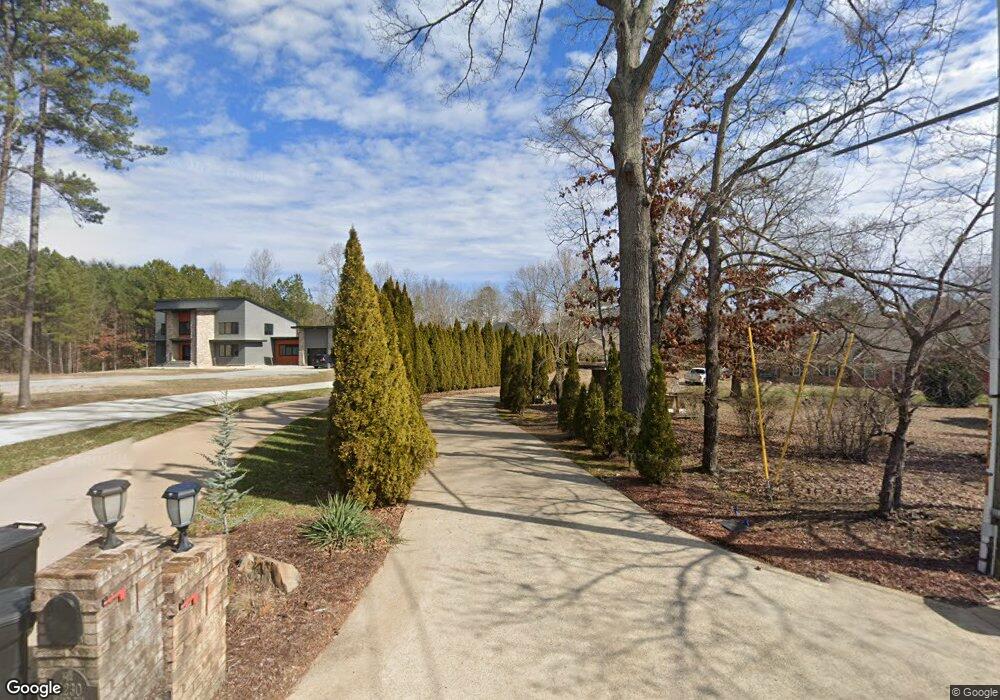
11232 Hixson Pike Soddy Daisy, TN 37379
Estimated Value: $799,000 - $895,000
3
Beds
3
Baths
3,390
Sq Ft
$250/Sq Ft
Est. Value
About This Home
This home is located at 11232 Hixson Pike, Soddy Daisy, TN 37379 and is currently estimated at $848,348, approximately $250 per square foot. 11232 Hixson Pike is a home located in Hamilton County.
Ownership History
Date
Name
Owned For
Owner Type
Purchase Details
Closed on
Oct 29, 2020
Sold by
Harvey Claude D and Harvey Gingi G
Bought by
Spector Michael E and Spector Linda M
Current Estimated Value
Purchase Details
Closed on
Mar 19, 2002
Sold by
Smith William Kenneth
Bought by
Harvey Claude D and Harvey Gingi G
Home Financials for this Owner
Home Financials are based on the most recent Mortgage that was taken out on this home.
Original Mortgage
$81,000
Interest Rate
6.86%
Mortgage Type
Purchase Money Mortgage
Purchase Details
Closed on
Apr 24, 1995
Sold by
Kenneth Smith William
Bought by
Kenneth Smith William
Create a Home Valuation Report for This Property
The Home Valuation Report is an in-depth analysis detailing your home's value as well as a comparison with similar homes in the area
Home Values in the Area
Average Home Value in this Area
Purchase History
| Date | Buyer | Sale Price | Title Company |
|---|---|---|---|
| Spector Michael E | $600,000 | None Available | |
| Harvey Claude D | $90,000 | -- | |
| Kenneth Smith William | -- | -- |
Source: Public Records
Mortgage History
| Date | Status | Borrower | Loan Amount |
|---|---|---|---|
| Previous Owner | Harvey Claude D | $81,000 |
Source: Public Records
Tax History Compared to Growth
Tax History
| Year | Tax Paid | Tax Assessment Tax Assessment Total Assessment is a certain percentage of the fair market value that is determined by local assessors to be the total taxable value of land and additions on the property. | Land | Improvement |
|---|---|---|---|---|
| 2024 | $3,340 | $149,275 | $0 | $0 |
| 2023 | $5,014 | $149,275 | $0 | $0 |
| 2022 | $5,014 | $149,275 | $0 | $0 |
| 2021 | $4,442 | $132,200 | $0 | $0 |
| 2020 | $3,856 | $93,425 | $0 | $0 |
| 2019 | $3,856 | $93,425 | $0 | $0 |
| 2018 | $3,856 | $93,425 | $0 | $0 |
| 2017 | $3,856 | $93,425 | $0 | $0 |
| 2016 | $3,535 | $0 | $0 | $0 |
| 2015 | $3,535 | $85,625 | $0 | $0 |
| 2014 | $3,535 | $0 | $0 | $0 |
Source: Public Records
Map
Nearby Homes
- 11734 Armstrong Rd
- 11312 Hixson Pike
- 1055 Apollo Dr
- 11570 Armstrong Rd
- 1235 Bentley Ln
- 11636 Holly Cir
- 11652 Hixson Pike
- 1708 Restful Dr
- 11008 Lovell Rd
- 11036 High River Dr
- 10496 Sovereign Pointe Dr
- 10627 Jeneva Ln
- 11213 Dayton Pike
- 10428 Jeneva Ln
- 10947 High River Dr
- 11317 Cape View
- 2110 Autumn River Dr
- 1121 Natural Way
- 11766 Herons Haven Dr
- 191 Depot St
- 11230 Hixson Pike
- 11228 Hixson Pike
- 11236 Hixson Pike
- 11226 Hixson Pike
- 11234 Hixson Pike
- 11242 Hixson Pike
- 11222 Hixson Pike
- 11233 Hixson Pike
- 11204 Captains Cove Dr
- 11204 Captain's Cove
- 11252 Hixson Pike
- 11218 Hixson Pike
- 609 Marina Cir
- 11205 Captains Cove Dr
- 11202 Captains Cove Dr
- 11223 Hixson Pike
- 11216 Hixson Pike
- 613 Marina Cir
- 11203 Captains Cove Dr
- 639 Marina Cir