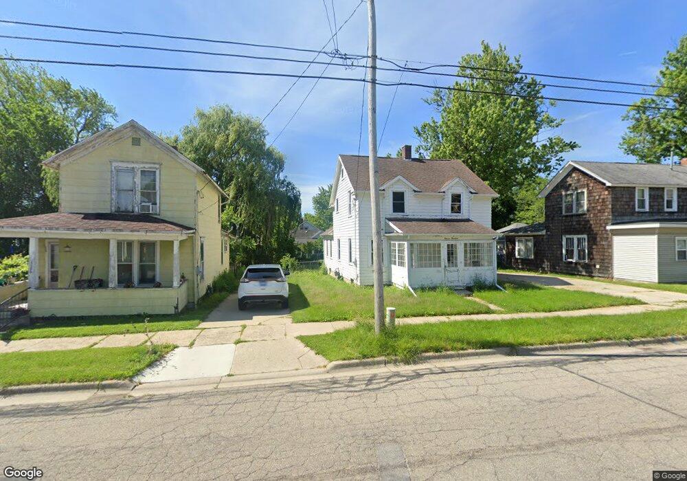
1124 E Maumee St Adrian, MI 49221
Estimated Value: $216,250 - $247,000
Studio
1
Bath
2,218
Sq Ft
$105/Sq Ft
Est. Value
About This Home
This home is located at 1124 E Maumee St, Adrian, MI 49221 and is currently estimated at $233,063, approximately $105 per square foot. 1124 E Maumee St is a home located in Lenawee County with nearby schools including Adrian High School, St. Joseph Academy, and St. Joseph's Academy.
Ownership History
Date
Name
Owned For
Owner Type
Purchase Details
Closed on
Jun 15, 2017
Sold by
Cook Linda
Bought by
Cook Michael
Current Estimated Value
Purchase Details
Closed on
Jan 16, 2013
Sold by
Merrow Brian L and Merrow Karen E
Bought by
Cook Michael B and Cook Linda S
Home Financials for this Owner
Home Financials are based on the most recent Mortgage that was taken out on this home.
Original Mortgage
$85,424
Outstanding Balance
$61,435
Interest Rate
4.12%
Mortgage Type
FHA
Estimated Equity
$171,628
Purchase Details
Closed on
Dec 18, 2006
Sold by
Garno Raymond L and Grano Grace M
Bought by
Simpson Ethel I and Garno Teresa A
Create a Home Valuation Report for This Property
The Home Valuation Report is an in-depth analysis detailing your home's value as well as a comparison with similar homes in the area
Home Values in the Area
Average Home Value in this Area
Purchase History
| Date | Buyer | Sale Price | Title Company |
|---|---|---|---|
| Cook Michael | -- | None Available | |
| Cook Michael B | $87,000 | None Available | |
| Simpson Ethel I | -- | None Available |
Source: Public Records
Mortgage History
| Date | Status | Borrower | Loan Amount |
|---|---|---|---|
| Open | Cook Michael B | $85,424 |
Source: Public Records
Tax History
| Year | Tax Paid | Tax Assessment Tax Assessment Total Assessment is a certain percentage of the fair market value that is determined by local assessors to be the total taxable value of land and additions on the property. | Land | Improvement |
|---|---|---|---|---|
| 2025 | $3,921 | $92,800 | $0 | $0 |
| 2024 | $33 | $87,300 | $0 | $0 |
| 2023 | $2,299 | $78,400 | $0 | $0 |
| 2022 | $1,978 | $73,900 | $0 | $0 |
| 2021 | $1,942 | $68,400 | $0 | $0 |
| 2020 | $1,935 | $63,000 | $0 | $0 |
| 2019 | $1,558 | $60,700 | $0 | $0 |
| 2018 | $1,772 | $61,049 | $0 | $0 |
| 2017 | $1,716 | $51,826 | $0 | $0 |
| 2016 | $1,702 | $46,555 | $0 | $0 |
| 2014 | -- | $38,200 | $0 | $0 |
Source: Public Records
Map
Nearby Homes
- 1120 E Maumee St
- 1120 E Maumee St Unit MAUMEE
- 1114 E Maumee St
- 1130 E Maumee St
- 1110 E Maumee St
- 1115 E Maumee St
- 1135 E Maumee St
- 1109 E Maumee St
- 1120 E Maple Ave
- 1120 E Maple Ave
- 1113 E Church St
- 1117 E Church St
- 1136 E Maumee St
- 312 Addison St
- 1119 E Church St
- 1119 E Church St Unit CHURCH
- 1123 E Church St
- 1109 E Church St
- 1026 E Maumee St
- 1103 E Church St
Your Personal Tour Guide
Ask me questions while you tour the home.