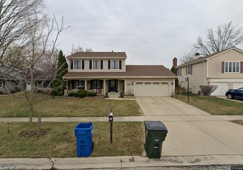
1124 Independence Dr Bartlett, IL 60103
South Tri Village NeighborhoodEstimated Value: $399,671 - $449,000
3
Beds
3
Baths
1,938
Sq Ft
$221/Sq Ft
Est. Value
About This Home
This home is located at 1124 Independence Dr, Bartlett, IL 60103 and is currently estimated at $427,918, approximately $220 per square foot. 1124 Independence Dr is a home located in DuPage County with nearby schools including Sycamore Trails Elementary School, Eastview Middle School, and Bartlett High School.
Ownership History
Date
Name
Owned For
Owner Type
Purchase Details
Closed on
Sep 20, 2004
Sold by
Skinner Linda S and Bonner Linda S
Bought by
Digiulio Michael and Digiulio Barbara M
Current Estimated Value
Home Financials for this Owner
Home Financials are based on the most recent Mortgage that was taken out on this home.
Original Mortgage
$263,700
Outstanding Balance
$123,971
Interest Rate
5.12%
Mortgage Type
Purchase Money Mortgage
Estimated Equity
$303,947
Create a Home Valuation Report for This Property
The Home Valuation Report is an in-depth analysis detailing your home's value as well as a comparison with similar homes in the area
Home Values in the Area
Average Home Value in this Area
Purchase History
| Date | Buyer | Sale Price | Title Company |
|---|---|---|---|
| Digiulio Michael | $293,000 | Metropolitan Title |
Source: Public Records
Mortgage History
| Date | Status | Borrower | Loan Amount |
|---|---|---|---|
| Open | Digiulio Michael | $263,700 |
Source: Public Records
Tax History
| Year | Tax Paid | Tax Assessment Tax Assessment Total Assessment is a certain percentage of the fair market value that is determined by local assessors to be the total taxable value of land and additions on the property. | Land | Improvement |
|---|---|---|---|---|
| 2024 | $9,893 | $130,357 | $35,237 | $95,120 |
| 2023 | $9,088 | $118,270 | $31,970 | $86,300 |
| 2022 | $9,080 | $109,910 | $29,710 | $80,200 |
| 2021 | $8,820 | $104,330 | $28,200 | $76,130 |
| 2020 | $8,607 | $101,200 | $27,350 | $73,850 |
| 2019 | $8,490 | $97,580 | $26,370 | $71,210 |
| 2018 | $8,698 | $96,960 | $25,230 | $71,730 |
| 2017 | $8,450 | $93,090 | $24,220 | $68,870 |
| 2016 | $8,286 | $88,910 | $23,130 | $65,780 |
| 2015 | $8,268 | $84,160 | $21,890 | $62,270 |
| 2014 | $7,398 | $79,130 | $21,330 | $57,800 |
| 2013 | $8,878 | $81,020 | $21,840 | $59,180 |
Source: Public Records
Map
Nearby Homes
- 1024 Confederation Dr
- 968 Hyacynth Ln
- 835 Bryn Mawr Ave
- 701 W Stearns Rd
- 1221 Driftwood Ln
- 1074 - 1078 Sante Fe Stre St
- 776 W Appletree Ln Unit 4
- 930 Maple Ct
- 1137 Fieldstone Ln
- 1301 Filly Ln
- 1128 Ascot Way
- 1179 Wood Lily Ln
- 1432 Steeplechase Rd
- 791 Duxbury Ln
- 30W030 Schick Rd
- 5N444 S Bartlett Rd
- 511 Illinois Route 59
- 152 Orchards Pass Unit 32E
- 1489 Polo Ct
- 1548 Wood Creek Trail
- 1120 Independence Dr
- 1128 Independence Dr
- 1132 Independence Dr
- 1116 Independence Dr
- 1125 Independence Dr
- 1123 Monroe Dr
- 1121 Independence Dr
- 1125 Monroe Dr
- 1119 Monroe Dr
- 1112 Independence Dr
- 1136 Independence Dr
- 1117 Independence Dr
- 1129 Independence Dr
- 1129 Monroe Dr
- 1115 Monroe Dr
- 1133 Independence Dr
- 1113 Independence Dr
- 998 Confederation Dr
- 1111 Monroe Dr
- 1108 Independence Dr
Your Personal Tour Guide
Ask me questions while you tour the home.