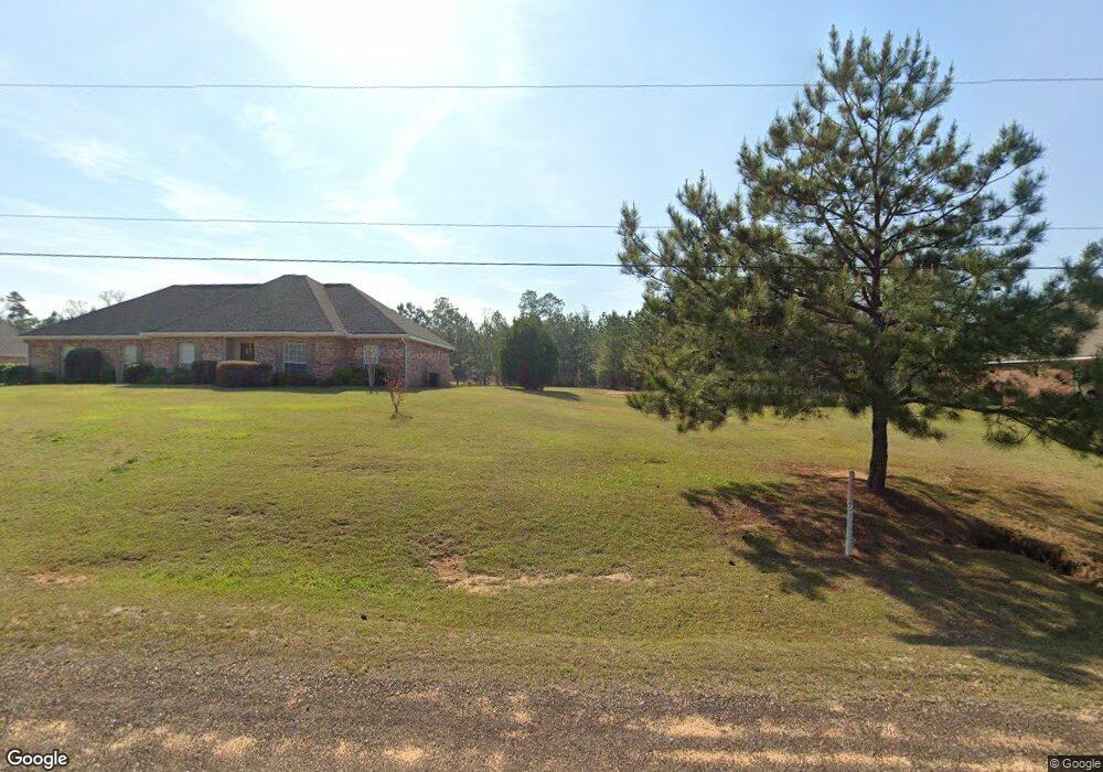
1124 Quail Ridge Dr McComb, MS 39648
Estimated Value: $263,000 - $331,593
3
Beds
2
Baths
1,690
Sq Ft
$181/Sq Ft
Est. Value
About This Home
This home is located at 1124 Quail Ridge Dr, McComb, MS 39648 and is currently estimated at $306,148, approximately $181 per square foot. 1124 Quail Ridge Dr is a home located in Pike County with nearby schools including North Pike Elementary School, North Pike Middle School, and North Pike Senior High School.
Ownership History
Date
Name
Owned For
Owner Type
Purchase Details
Closed on
Aug 4, 2014
Sold by
Dcd Investments Llc
Bought by
Samuels Jeremy
Current Estimated Value
Home Financials for this Owner
Home Financials are based on the most recent Mortgage that was taken out on this home.
Original Mortgage
$247,435
Outstanding Balance
$192,022
Interest Rate
4.75%
Mortgage Type
FHA
Estimated Equity
$114,126
Purchase Details
Closed on
Jan 24, 2011
Sold by
Derek A Henderson Chapter Ii
Bought by
Sterling Glenn
Create a Home Valuation Report for This Property
The Home Valuation Report is an in-depth analysis detailing your home's value as well as a comparison with similar homes in the area
Home Values in the Area
Average Home Value in this Area
Purchase History
| Date | Buyer | Sale Price | Title Company |
|---|---|---|---|
| Samuels Jeremy | -- | None Available | |
| Sterling Glenn | -- | None Available |
Source: Public Records
Mortgage History
| Date | Status | Borrower | Loan Amount |
|---|---|---|---|
| Open | Samuels Jeremy | $247,435 |
Source: Public Records
Tax History Compared to Growth
Tax History
| Year | Tax Paid | Tax Assessment Tax Assessment Total Assessment is a certain percentage of the fair market value that is determined by local assessors to be the total taxable value of land and additions on the property. | Land | Improvement |
|---|---|---|---|---|
| 2025 | $3,199 | $27,446 | $0 | $0 |
| 2024 | $3,199 | $23,291 | $0 | $0 |
| 2023 | $3,131 | $23,291 | $0 | $0 |
| 2022 | $2,786 | $23,291 | $0 | $0 |
| 2021 | $2,778 | $23,291 | $0 | $0 |
| 2020 | $2,831 | $23,591 | $0 | $0 |
| 2019 | $2,755 | $23,591 | $0 | $0 |
| 2018 | $2,735 | $23,591 | $0 | $0 |
| 2017 | $2,670 | $23,591 | $0 | $0 |
| 2016 | $2,322 | $23,591 | $0 | $0 |
| 2015 | -- | $33,121 | $0 | $0 |
| 2014 | -- | $1,861 | $0 | $0 |
| 2013 | -- | $1,292 | $0 | $0 |
Source: Public Records
Map
Nearby Homes
- TBD Hwy 44e
- 1037 Boone Rd
- 1156 Boone Rd
- 2147 McComb Holmesville Rd
- No Integrity Rd
- 0 Integrity Rd
- 1011 Eastover Ln
- 1148 Morgantown Rd
- 1041 Van Norman Curve
- 0 Morgantown Rd Unit 4125975
- 1004 Van Norman Curve
- 1019 Pearl River Avenue Extension
- 1011 Rolling Oaks Dr
- 1102 Pearl River Ave
- 1031 Pearl River Ave
- 0 Rolling Oaks Dr
- 1002 Avenue F None
- 1002 Avenue F
- 133 N Chestnut St
- 1002 Pershing St
- 1120 Quail Ridge Dr
- 1130 Quail Ridge Dr
- 1114 Quail Ridge Dr
- 1100 Quail Ridge Dr
- 1089 Quail Ridge Dr
- 1127 Quail Ridge Dr
- 1125 Quail Ridge Dr
- 1108 Quail Ridge Dr
- 1132 Quail Ridge Dr
- 1133 Quail Ridge Dr
- 2035 Van Norman Curve
- 2031 Van Norman Curve
- 1095 Quail Ridge Dr
- 2033 Van Norman Curve
- 1092 Quail Ridge Dr
- 2037 Van Norman Curve
- 2038 Van Norman Curve
- 2046 Van Norman Curve
- 2032 Van Norman Curve
- 2030 Van Norman Curve