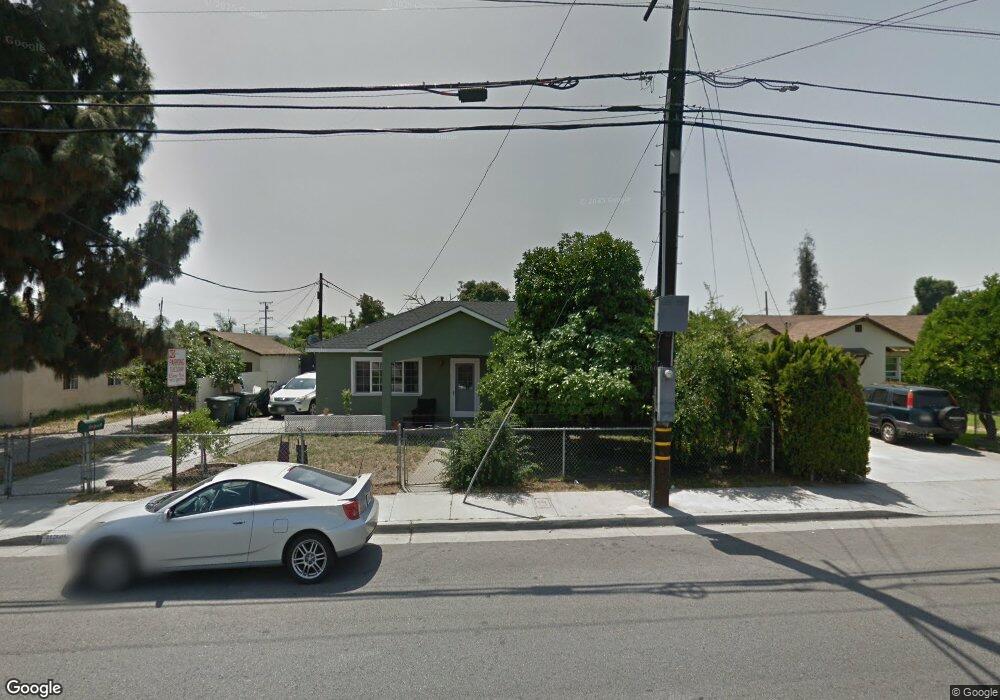
11246 Bryant Rd El Monte, CA 91731
Norwood Cherrylee NeighborhoodEstimated Value: $676,000 - $738,000
About This Home
This home is located at 11246 Bryant Rd, El Monte, CA 91731 and is currently estimated at $703,909, approximately $712 per square foot. 11246 Bryant Rd is a home located in Los Angeles County with nearby schools including Legore Elementary School, Wright Elementary School, and Arroyo High School.
Ownership History
We collect this data history from publicly available records. To have your information removed, we recommend requesting removal directly through your county’s website.
Purchase Details
Home Financials for this Owner
Home Financials are based on the most recent Mortgage that was taken out on this home.Home Values in the Area
Average Home Value in this Area
Purchase History
We collect this data history from publicly available records. To have your information removed, we recommend requesting removal directly through your county’s website.
| Date | Buyer | Sale Price | Title Company |
|---|---|---|---|
| $135,000 | North American Title Co |
Mortgage History
We collect this data history from publicly available records. To have your information removed, we recommend requesting removal directly through your county’s website.
| Date | Status | Borrower | Loan Amount |
|---|---|---|---|
| Open | $128,150 |
Tax History
We collect this data history from publicly available records. To have your information removed, we recommend requesting removal directly through your county’s website.
| Year | Tax Paid | Tax Assessment Tax Assessment Total Assessment is a certain percentage of the fair market value that is determined by local assessors to be the total taxable value of land and additions on the property. | Land | Improvement |
|---|---|---|---|---|
| 2025 | $3,161 | $207,311 | $128,171 | $79,140 |
| 2024 | $2,897 | $203,247 | $125,658 | $77,589 |
| 2023 | $2,840 | $199,263 | $123,195 | $76,068 |
| 2022 | $2,736 | $195,357 | $120,780 | $74,577 |
| 2021 | $2,768 | $191,527 | $118,412 | $73,115 |
| 2019 | $2,819 | $185,848 | $114,900 | $70,948 |
| 2018 | $2,727 | $182,205 | $112,648 | $69,557 |
| 2016 | $2,612 | $175,132 | $108,275 | $66,857 |
| 2015 | $2,583 | $172,502 | $106,649 | $65,853 |
| 2014 | $2,491 | $169,124 | $104,560 | $64,564 |
Map
- 4014 Cedar Ave
- 11238 Forest Grove St
- 11363 Medina Ct
- 11125 Basye St Unit D
- 3841 Peck Rd
- 11641 Bryant Rd
- 11386 Mcgirk Ave
- 11130 Legion Loop Unit 105
- 11175 Legion Loop Unit 110
- 3652 Tyler Ave
- 11670 Ferris Rd
- 4308 Fandon Ave
- 4501 Peck Rd Unit 63
- 4501 Peck Rd Unit 46
- 4501 Peck Rd Unit 9
- 10720 Golden Koi Unit A
- 10728 Golden Koi Unit C
- 10728 Golden Koi Unit B
- 11825 Basye St
- 11829 Ferris Rd Unit C
- 11240 Bryant Rd
- 11250 Bryant Rd
- 4012 Lincoln Ave
- 4011 Cedar Ave
- 4015 Cedar Ave
- 4006 Lincoln Ave
- 4103 Cedar Ave
- 4007 Cedar Ave
- 4102 Lincoln Ave
- 4002 Lincoln Ave
- 4003 Cedar Ave
- 4015 Lincoln Ave
- 4111 Cedar Ave
- 4011 Lincoln Ave
- 3922 Lincoln Ave
- 3923 Cedar Ave
- 11303 Bryant Rd
- 4007 Lincoln Ave
- 4114 Lincoln Ave
- 4117 Cedar Ave
Ask me questions while you tour the home.