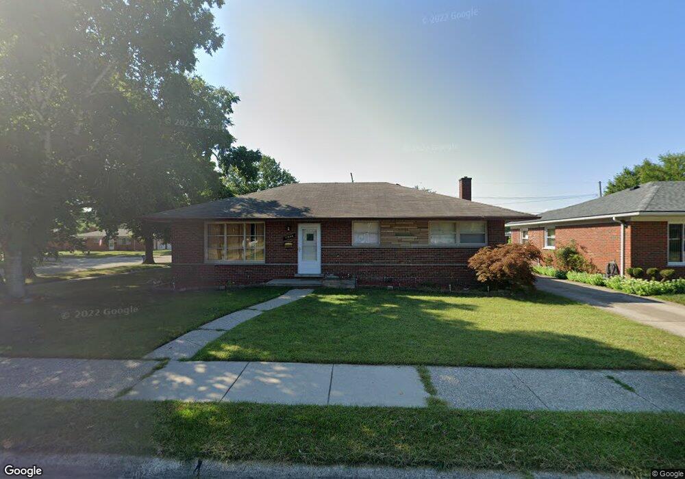
11246 Busch Ave Unit Bldg-Unit Warren, MI 48089
Southeast Warren NeighborhoodEstimated Value: $207,536 - $234,000
3
Beds
2
Baths
1,237
Sq Ft
$182/Sq Ft
Est. Value
About This Home
This home is located at 11246 Busch Ave Unit Bldg-Unit, Warren, MI 48089 and is currently estimated at $225,634, approximately $182 per square foot. 11246 Busch Ave Unit Bldg-Unit is a home located in Macomb County with nearby schools including May V. Peck Elementary School, Wolfe Middle School, and Center Line High School.
Ownership History
Date
Name
Owned For
Owner Type
Purchase Details
Closed on
Jul 24, 2018
Sold by
Family Equity Inc
Bought by
Family Equity Homes 1 Llc
Current Estimated Value
Purchase Details
Closed on
Jan 29, 2013
Sold by
Pokowski Shannon
Bought by
Woodfield Properties Llc
Purchase Details
Closed on
Jan 9, 2012
Sold by
Pokowski Shannon and Pokowski Chad
Bought by
Pokowski Shannon
Purchase Details
Closed on
Apr 20, 1995
Sold by
Barr Jay J
Bought by
French Dwight E and French Mary
Home Financials for this Owner
Home Financials are based on the most recent Mortgage that was taken out on this home.
Original Mortgage
$49,900
Interest Rate
8.42%
Mortgage Type
New Conventional
Create a Home Valuation Report for This Property
The Home Valuation Report is an in-depth analysis detailing your home's value as well as a comparison with similar homes in the area
Home Values in the Area
Average Home Value in this Area
Purchase History
| Date | Buyer | Sale Price | Title Company |
|---|---|---|---|
| Family Equity Homes 1 Llc | -- | None Available | |
| Family Equity Inc | -- | None Available | |
| Woodfield Properties Llc | $43,000 | Fidelity National Title Insu | |
| Pokowski Shannon | -- | None Available | |
| French Dwight E | $89,900 | -- |
Source: Public Records
Mortgage History
| Date | Status | Borrower | Loan Amount |
|---|---|---|---|
| Previous Owner | French Dwight E | $49,900 |
Source: Public Records
Tax History
| Year | Tax Paid | Tax Assessment Tax Assessment Total Assessment is a certain percentage of the fair market value that is determined by local assessors to be the total taxable value of land and additions on the property. | Land | Improvement |
|---|---|---|---|---|
| 2025 | $3,961 | $105,220 | $0 | $0 |
| 2024 | $39 | $97,970 | $0 | $0 |
| 2023 | $3,596 | $86,280 | $0 | $0 |
| 2022 | $3,502 | $76,030 | $0 | $0 |
| 2021 | $3,424 | $69,740 | $0 | $0 |
| 2020 | $3,312 | $66,530 | $0 | $0 |
| 2019 | $3,197 | $65,260 | $0 | $0 |
| 2018 | $72 | $53,650 | $0 | $0 |
| 2017 | $2,875 | $47,160 | $6,800 | $40,360 |
| 2016 | $2,977 | $47,160 | $0 | $0 |
| 2015 | -- | $44,700 | $0 | $0 |
| 2012 | -- | $39,190 | $0 | $0 |
Source: Public Records
Map
Nearby Homes
- 11214 Mae Ave
- 11175 Sunburst Ave
- 26032 Falmouth Dr
- 11085 Busch Ave
- 26431 Tom Allen Dr
- 11647 Hovey St
- 8565 Dale
- 11748 Carney St
- 26628 Richard Dr
- 11657 Engleman Rd
- 25208 Comfort
- 25113 Campbell Ave
- 11844 Harold St
- 26704 Potomac Ct
- 8442 Central
- 11370 E 10 Mile Rd
- 8385 Helen
- 25034 Comfort
- 24932 Marigold Ave
- 24899 Campbell Ave
Your Personal Tour Guide
Ask me questions while you tour the home.