1125 165th Ave NW New London, MN 56273
Estimated Value: $292,000 - $397,000
--
Bed
--
Bath
1,200
Sq Ft
$276/Sq Ft
Est. Value
About This Home
This home is located at 1125 165th Ave NW, New London, MN 56273 and is currently estimated at $331,515, approximately $276 per square foot. 1125 165th Ave NW is a home located in Kandiyohi County with nearby schools including Prairie Woods Elementary School, New London-Spicer Middle School, and New London-Spicer Senior High School.
Ownership History
Date
Name
Owned For
Owner Type
Purchase Details
Closed on
Feb 5, 2021
Sold by
Bengtson Jacob and Bengtson Felicia
Bought by
Bengtson Jason D and Bengtson Ashley M
Current Estimated Value
Home Financials for this Owner
Home Financials are based on the most recent Mortgage that was taken out on this home.
Original Mortgage
$215,650
Outstanding Balance
$192,540
Interest Rate
2.6%
Mortgage Type
New Conventional
Estimated Equity
$138,975
Purchase Details
Closed on
Oct 27, 2017
Sold by
Mcbroom Terry and Mcbroom Sharon
Bought by
Bengtson Jacob
Home Financials for this Owner
Home Financials are based on the most recent Mortgage that was taken out on this home.
Original Mortgage
$180,500
Interest Rate
3.83%
Mortgage Type
New Conventional
Create a Home Valuation Report for This Property
The Home Valuation Report is an in-depth analysis detailing your home's value as well as a comparison with similar homes in the area
Home Values in the Area
Average Home Value in this Area
Purchase History
| Date | Buyer | Sale Price | Title Company |
|---|---|---|---|
| Bengtson Jason D | $227,000 | Quality Title | |
| Bengtson Jacob | $190,000 | Kandiyohi Abstract & Title | |
| Bengtson Jason Jason | $227,000 | -- |
Source: Public Records
Mortgage History
| Date | Status | Borrower | Loan Amount |
|---|---|---|---|
| Open | Bengtson Jason D | $215,650 | |
| Previous Owner | Bengtson Jacob | $180,500 | |
| Closed | Bengtson Jason Jason | $227,000 |
Source: Public Records
Tax History Compared to Growth
Tax History
| Year | Tax Paid | Tax Assessment Tax Assessment Total Assessment is a certain percentage of the fair market value that is determined by local assessors to be the total taxable value of land and additions on the property. | Land | Improvement |
|---|---|---|---|---|
| 2025 | $2,600 | $280,000 | $88,600 | $191,400 |
| 2024 | $2,410 | $270,200 | $77,700 | $192,500 |
| 2023 | $2,200 | $248,500 | $76,900 | $171,600 |
| 2022 | $2,096 | $232,000 | $68,200 | $163,800 |
| 2021 | $1,680 | $193,300 | $60,400 | $132,900 |
| 2020 | $1,814 | $174,400 | $60,100 | $114,300 |
| 2019 | $1,310 | $184,100 | $69,200 | $114,900 |
| 2018 | $1,240 | $138,000 | $61,900 | $76,100 |
| 2017 | $1,254 | $133,300 | $61,900 | $71,400 |
| 2016 | $1,262 | $1,081 | $0 | $0 |
| 2015 | -- | $0 | $0 | $0 |
| 2014 | -- | $0 | $0 | $0 |
Source: Public Records
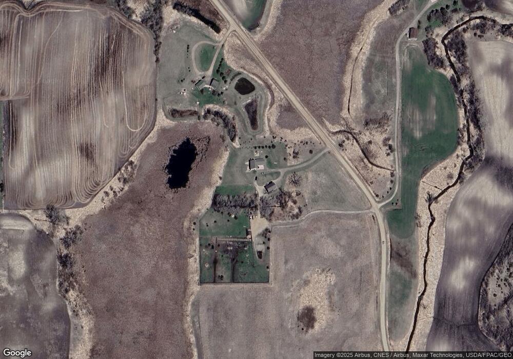
Map
Nearby Homes
- 1245 137th Ave NW
- 13112 2nd St NE
- 17216 County Road 5 NW
- 870 S Andrew Dr NE
- 311 131st Ave NE
- 1122 S Andrew Dr NE
- 4916 189th Ave NW
- 3614 198th Ave NW
- TBD Lot E Co Rd 40
- 4316 133rd Ave NE
- 4539 141st Ave NE
- TBD Lot H Co Rd 40
- 4808 132nd Ave NE Unit 25
- 10957 Highway 71 NE
- 5078 132nd Ave NE
- 5288 (R22) 53rd St NE
- 5288 (R24) 53rd St NE
- 5272 (R26) 53rd St NE
- 5288 (R19) 53rd St NE
- 13205 (R17) 53rd St NE