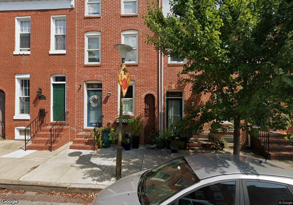
1125 Battery Ave Baltimore, MD 21230
Riverside NeighborhoodEstimated Value: $751,861
--
Bed
3
Baths
3,284
Sq Ft
$229/Sq Ft
Est. Value
About This Home
This home is located at 1125 Battery Ave, Baltimore, MD 21230 and is currently estimated at $751,861, approximately $228 per square foot. 1125 Battery Ave is a home located in Baltimore City with nearby schools including Federal Hill Preparatory School, Booker T. Washington Middle School, and Paul Laurence Dunbar High School.
Ownership History
Date
Name
Owned For
Owner Type
Purchase Details
Closed on
Aug 22, 2023
Sold by
Gopal Smitha and Skene Jeremy Andrew
Bought by
Gopal Smitha
Current Estimated Value
Purchase Details
Closed on
Oct 1, 2021
Sold by
Mrhr Llc
Bought by
Smith Andrew J
Purchase Details
Closed on
Jul 25, 2014
Sold by
The Estate Of Gerald T Buschmann Sr
Bought by
58 Water Street Llc
Create a Home Valuation Report for This Property
The Home Valuation Report is an in-depth analysis detailing your home's value as well as a comparison with similar homes in the area
Home Values in the Area
Average Home Value in this Area
Purchase History
| Date | Buyer | Sale Price | Title Company |
|---|---|---|---|
| Gopal Smitha | -- | Home First Title | |
| Smith Andrew J | $290,000 | Cole Title | |
| 58 Water Street Llc | $195,000 | Home First Title Group |
Source: Public Records
Tax History Compared to Growth
Tax History
| Year | Tax Paid | Tax Assessment Tax Assessment Total Assessment is a certain percentage of the fair market value that is determined by local assessors to be the total taxable value of land and additions on the property. | Land | Improvement |
|---|---|---|---|---|
| 2025 | $5,465 | $752,433 | -- | -- |
| 2024 | $5,465 | $727,367 | $0 | $0 |
| 2023 | $16,574 | $702,300 | $220,000 | $482,300 |
| 2022 | $16,503 | $699,300 | $0 | $0 |
| 2021 | $16,433 | $696,300 | $0 | $0 |
| 2020 | $4,805 | $693,300 | $220,000 | $473,300 |
| 2019 | $4,780 | $693,300 | $220,000 | $473,300 |
| 2018 | $4,961 | $693,300 | $220,000 | $473,300 |
| 2017 | $5,267 | $701,000 | $0 | $0 |
| 2016 | $2,686 | $701,000 | $0 | $0 |
| 2015 | $2,686 | $242,867 | $0 | $0 |
| 2014 | $2,686 | $238,800 | $0 | $0 |
Source: Public Records
Map
Nearby Homes
- 400 E Cross St
- 302 E West St
- 1043 Riverside Ave
- 416 E Cross St
- 427 Grindall St
- 1134 Battery Ave
- 213 Grindall St
- 337 E Hamburg St
- 1221 William St
- 421 Folsom St
- 143 E West St
- 407 Warren Ave
- 129 E West St
- 1011 Covington St
- 1225 Wall St
- 109 E West St
- 23 Pierside Dr Unit 112
- 23 Pierside Dr Unit 410
- 23 Pierside Dr Unit 324
- 23 Pierside Dr Unit 438
- 1123 Battery Ave
- 1127 Battery Ave
- 1121 Battery Ave
- 1129 Battery Ave
- 1131 Battery Ave
- 1119 Battery Ave
- 1133 Battery Ave
- 1117 Battery Ave
- 1135 Battery Ave
- 1115 Battery Ave Unit REAR
- 1115 Battery Ave
- 1127 Hall Alley
- 1129 Hall Alley
- 1113 Battery Ave
- 1137 Battery Ave Unit First Floor
- 1137 Battery Ave
- 1111 Battery Ave
- 1128 Riverside Ave
- 1130 Riverside Ave
- 1132 Riverside Ave