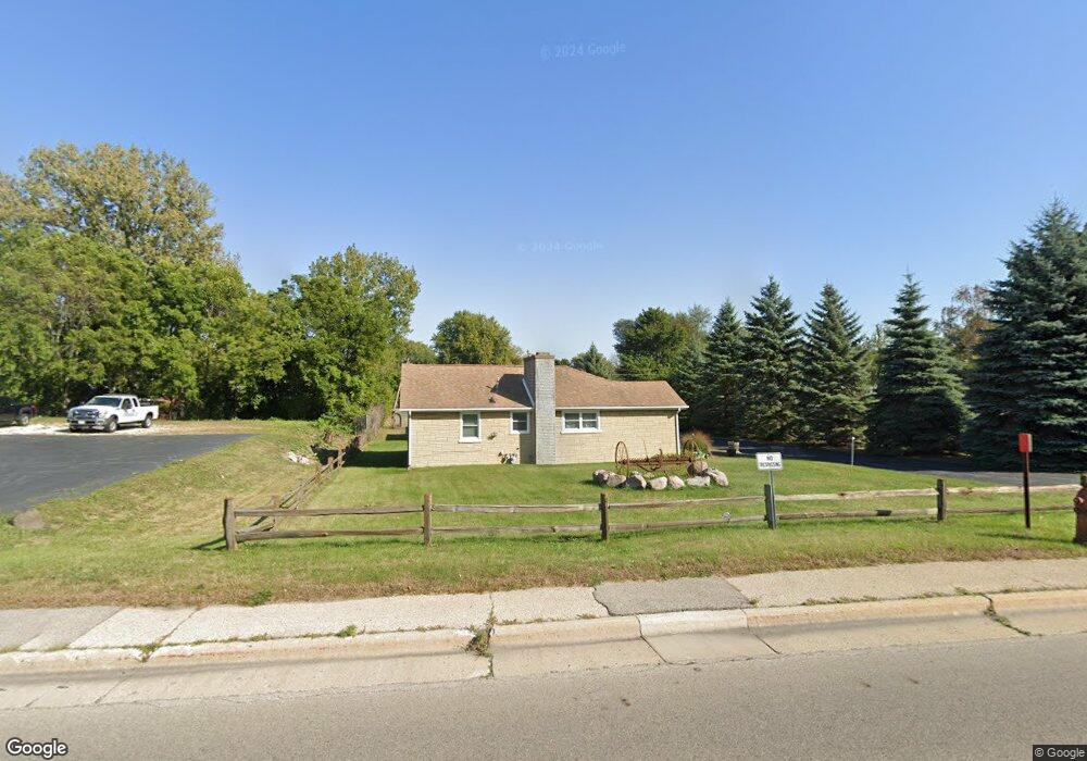
1125 Sheridan Rd Winthrop Harbor, IL 60096
Estimated Value: $165,000 - $224,878
3
Beds
1
Bath
1,008
Sq Ft
$203/Sq Ft
Est. Value
About This Home
This home is located at 1125 Sheridan Rd, Winthrop Harbor, IL 60096 and is currently estimated at $204,720, approximately $203 per square foot. 1125 Sheridan Rd is a home with nearby schools including Westfield School, North Prairie Junior High School, and Zion-Benton Township High School.
Ownership History
Date
Name
Owned For
Owner Type
Purchase Details
Closed on
Aug 2, 2023
Sold by
Dukas Shane G
Bought by
Dukas Shane G and Dukas Rochelle D
Current Estimated Value
Purchase Details
Closed on
Nov 30, 2000
Sold by
Chicago Title Land Trust Company
Bought by
Dukas Shane G
Home Financials for this Owner
Home Financials are based on the most recent Mortgage that was taken out on this home.
Original Mortgage
$93,750
Interest Rate
7.83%
Create a Home Valuation Report for This Property
The Home Valuation Report is an in-depth analysis detailing your home's value as well as a comparison with similar homes in the area
Home Values in the Area
Average Home Value in this Area
Purchase History
| Date | Buyer | Sale Price | Title Company |
|---|---|---|---|
| Dukas Shane G | -- | None Listed On Document | |
| Dukas Shane G | $89,000 | -- |
Source: Public Records
Mortgage History
| Date | Status | Borrower | Loan Amount |
|---|---|---|---|
| Previous Owner | Dukas Shane G | $93,750 |
Source: Public Records
Tax History Compared to Growth
Tax History
| Year | Tax Paid | Tax Assessment Tax Assessment Total Assessment is a certain percentage of the fair market value that is determined by local assessors to be the total taxable value of land and additions on the property. | Land | Improvement |
|---|---|---|---|---|
| 2024 | $5,492 | $59,589 | $12,289 | $47,300 |
| 2023 | $5,370 | $51,237 | $11,863 | $39,374 |
| 2022 | $5,370 | $49,067 | $11,585 | $37,482 |
| 2021 | $4,929 | $42,781 | $11,290 | $31,491 |
| 2020 | $4,800 | $40,826 | $10,774 | $30,052 |
| 2019 | $4,700 | $38,734 | $10,222 | $28,512 |
| 2018 | $4,983 | $40,703 | $12,453 | $28,250 |
| 2017 | $4,960 | $38,291 | $11,715 | $26,576 |
| 2016 | $4,856 | $36,454 | $11,153 | $25,301 |
| 2015 | $4,816 | $33,431 | $10,228 | $23,203 |
| 2014 | $4,098 | $29,719 | $16,757 | $12,962 |
| 2012 | $3,984 | $30,884 | $17,414 | $13,470 |
Source: Public Records
Map
Nearby Homes
- 1120 Fulton Ave
- 1808 13th St
- 1206 Landon Ave
- 832 Fulton Ave
- 1400 Sheridan Rd
- 1414 Sheridan Rd
- 0 14th St Unit MRD12502206
- 1426 Sheridan Rd
- 830 Russell Ave
- 1339 Park Ave
- 737 Franklin Ave
- 1228 Pennsylvania Ave
- 0 13th St Unit MRD12432014
- 3015 13th St
- 630 Whitney Ave
- 3109 11th St
- 3106 13th St
- 1810 5th St
- 1901 Elim Ave
- 1907 Elim Ave
- 1803 11th St
- 1102 Sheridan Rd
- 1717 11th St
- 1143 Sheridan Rd
- 1824 12th St
- 1713 11th St
- 1820 12th St
- 1800 11th St
- 1913 11th St
- 1142 Sheridan Rd
- 1132 Fulton Ave
- 1116 Fulton Ave
- 1110 Fulton Ave
- 1718 12th St
- 1108 Fulton Ave
- 2005 11th St
- 1039 Sheridan Rd Unit 1
- 1039 Sheridan Rd Unit 2
- 1039 Sheridan Rd
- 1039 Sheridan Rd Unit 3