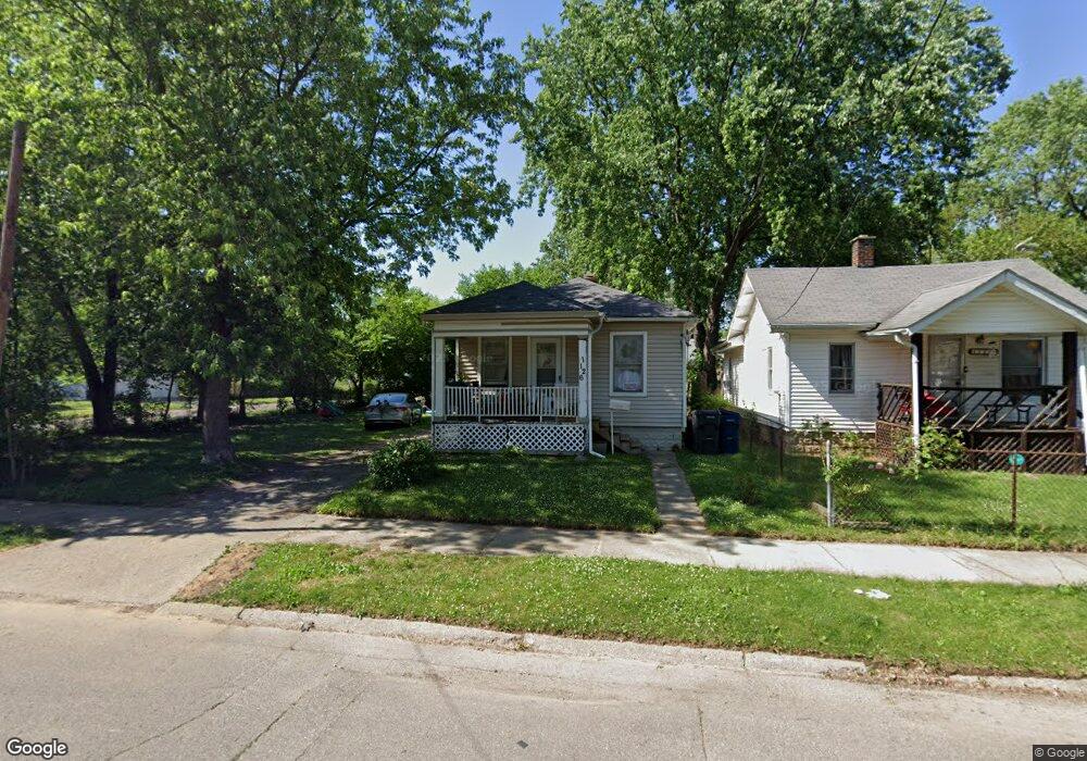
1126 Ingleside Ave Flint, MI 48507
South Side NeighborhoodEstimated Value: $40,006 - $54,000
2
Beds
1
Bath
640
Sq Ft
$71/Sq Ft
Est. Value
About This Home
This home is located at 1126 Ingleside Ave, Flint, MI 48507 and is currently estimated at $45,752, approximately $71 per square foot. 1126 Ingleside Ave is a home located in Genesee County with nearby schools including Neithercut Elementary School, Flint Southwestern Classical Academy, and International Academy of Flint (K-12).
Ownership History
Date
Name
Owned For
Owner Type
Purchase Details
Closed on
Nov 13, 2020
Sold by
Duravent Steven
Bought by
Hamric Randy and Hamric Rudy
Current Estimated Value
Purchase Details
Closed on
Mar 17, 2014
Sold by
Wyatt Realty Investments
Bought by
Dunavent Steven
Purchase Details
Closed on
Feb 6, 2013
Sold by
Wyatt Marvin
Bought by
Wyatt Realty Investment
Purchase Details
Closed on
Jul 15, 2010
Sold by
Wells Fargo Bank Na
Bought by
Federal National Mortgage Association
Purchase Details
Closed on
Jul 14, 2010
Sold by
Ketzler Randall P and Ketzler Donna L
Bought by
Wells Fargo Bank Na
Create a Home Valuation Report for This Property
The Home Valuation Report is an in-depth analysis detailing your home's value as well as a comparison with similar homes in the area
Home Values in the Area
Average Home Value in this Area
Purchase History
| Date | Buyer | Sale Price | Title Company |
|---|---|---|---|
| Hamric Randy | $1,000 | None Available | |
| Dunavent Steven | $1,000 | None Available | |
| Wyatt Realty Investment | -- | None Available | |
| Federal National Mortgage Association | -- | None Available | |
| Wells Fargo Bank Na | $40,310 | None Available |
Source: Public Records
Tax History
| Year | Tax Paid | Tax Assessment Tax Assessment Total Assessment is a certain percentage of the fair market value that is determined by local assessors to be the total taxable value of land and additions on the property. | Land | Improvement |
|---|---|---|---|---|
| 2025 | $829 | $14,300 | $0 | $0 |
| 2024 | $757 | $14,800 | $0 | $0 |
| 2023 | $746 | $11,700 | $0 | $0 |
| 2022 | $0 | $10,100 | $0 | $0 |
| 2021 | $882 | $9,300 | $0 | $0 |
| 2020 | $810 | $9,300 | $0 | $0 |
| 2019 | $795 | $9,500 | $0 | $0 |
| 2018 | $775 | $8,200 | $0 | $0 |
| 2017 | $756 | $0 | $0 | $0 |
| 2016 | $752 | $0 | $0 | $0 |
| 2015 | -- | $0 | $0 | $0 |
| 2014 | -- | $0 | $0 | $0 |
| 2012 | -- | $9,500 | $0 | $0 |
Source: Public Records
Map
Nearby Homes
- 1210 Pinehurst Ave
- 1234 Huron St
- 1122 Markham St
- 1310 Huron St
- 1318 Ingleside Ave
- 1015 Alvord Ave
- 912 Markham St
- 1028 Campbell St
- 1627 Blackberry Ln
- 1410 Berrywood Ln
- 1130 W Atherton Rd
- 846 W Hemphill Rd
- 845 Alvord Ave
- 1826 Greenbrook Ln
- 829 Clinton St
- 3902 Brunswick Ave
- 805 Alvord Ave
- 4502 Huckleberry Ln
- 806 Alvord Ave
- 822 Campbell St
- 1122 Ingleside Ave
- 1118 Ingleside Ave
- 1202 Ingleside Ave
- 1127 Huron St
- 1121 Huron St
- 1117 Huron St
- 1206 Ingleside Ave
- 1129 Ingleside Ave
- 1125 Ingleside Ave
- 1110 Ingleside Ave
- 1201 Huron St
- 1123 Ingleside Ave
- 1210 Ingleside Ave
- 1201 Ingleside Ave
- 1115 Ingleside Ave
- 1211 Huron St
- 1205 Ingleside Ave
- 1105 Huron St
- 1109 Ingleside Ave
- 1102 Ingleside Ave
Your Personal Tour Guide
Ask me questions while you tour the home.